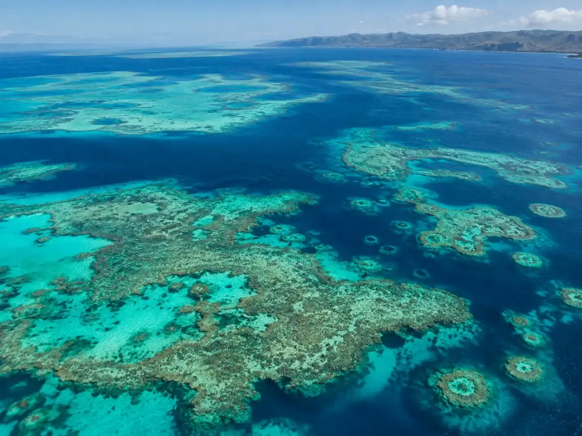
Somewhere off the coast of northern Australia, more than a thousand coral reefs have been sitting unmapped for some time. Not small ones. They were large enough to host fish, sharks, and entire food chains that have gone unnoticed for decades due to the water's messiness and old maps. According to the latest April 2026 announcement from the Australian Institute of Marine Science (AIMS), a team of researchers led by project scientist Dr. Eric Lawrey, in collaboration with the University of Queensland, charted more than 1,000 previously unknown reefs that stretch from Western Australia's Houtman Abrolhos all the way to western Cape York in Queensland, entirely through desk-based satellite analysis rather than field surveys.
How to chart a reef that humans can't see?
The technique works like this: a standard picture of the kind of turbid, sediment-laden coastal water would look like a murky green-brown soup via a satellite; the reefs are hidden underneath. However, if you were to stack about 200 similar satellite photos of the same stretch of ocean over time, the shifting and swirling sediment will cancel each other out when combined with the consistent reef structures below, slowly developing an image like a photo in a darkroom.