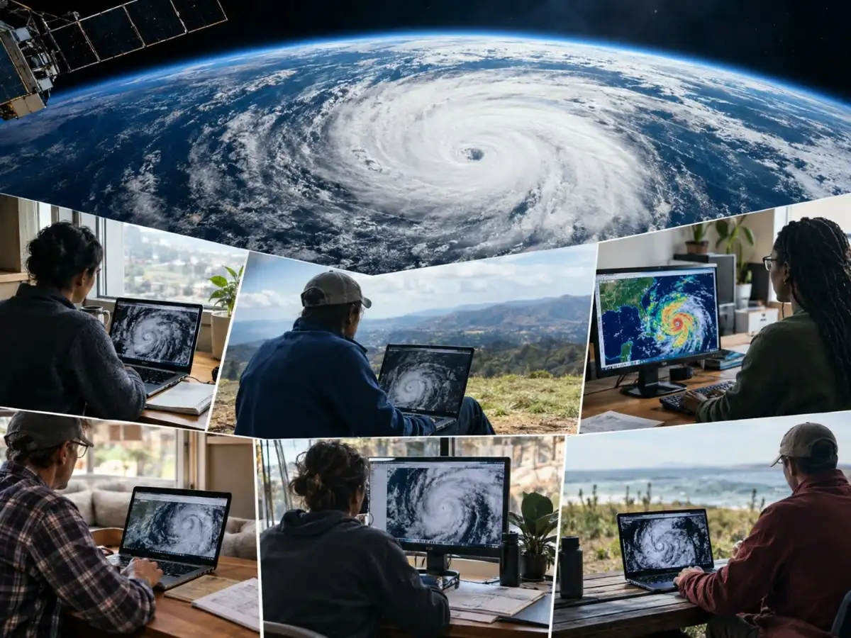
Somewhere around 2012, thousands of people spent some of their spare time gazing at grainy black-and-white photos taken from orbit of storm clouds, trying to determine if the swirl fell more in line with a comma or a spiral. Unpaid, and without leaderboard clout, somehow the combination of that odd little hobby and the work of thousands of volunteers shaped our understanding of hurricanes in ways that still inform forecasting today.
The initiative was named Cyclone Center, and it wasn't some kind of Silicon Valley moonlighting project; rather, it emerged as a response to an actual problem within science. According to a 2015 article titled “Cyclone Center: Can Citizen Scientists Improve Tropical Cyclone Intensity Records?,” published in the Bulletin of the American Meteorological Society, meteorologists traditionally used the so-called Dvorak technique, which is a decades-old approach that attempts to measure wind speed based on cloud structure in the satellite image of a hurricane. The problem, however, is that the technique is subjective, inconsistent over time, and has been used in various forecasting centers across the world in their own ways.