
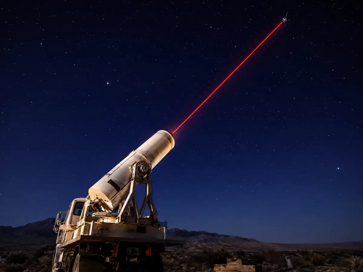
A clear night late in October 1964, six months before the Beacon Explorer C mission made laser tracking almost routine, saw NASA researchers shoot up a red beam of a laser into the sky. According to NASA's Goddard Space Flight Center, the beam reflected off a satellite hundreds of miles above the Earth and then returned to the ground, making this the first time anyone had tracked a spacecraft with a laser. It was a rough setup, assembled from spare radar parts and a lot of patience. Sixty years on, that same idea is helping scientists measure how fast our oceans are rising and how fast polar ice is disappearing.
A red beam, a very late night, and some borrowed radar parts