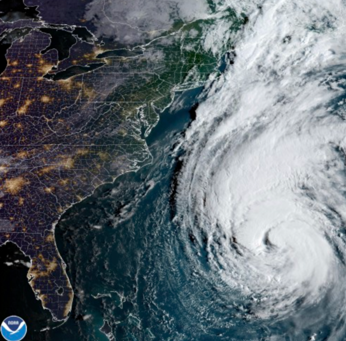
New England will start bearing the brunt of Hurricane Lee on Friday with winds nearing 85mph and 3ft of possible storm surge.
Maine declared a state of emergency as the state issued its first hurricane watch in 15 years. Lee was downgraded to a Category 1 but it is still expected to be a “large and dangerous storm” this weekend, forecasters warned.
The hurricane picked up speed as it turned north on the approach to the coast of New England on Friday. Lee is then expected to move across the border and impact Atlantic Canada on Saturday night and Sunday.
Beginning Friday night, Lee is expected to drop 1-4 inches of rain across parts of eastern New England, New Brunswick and Nova Scotia with possible flooding as a result.
Storm surge is also a threat to coastal areas, particularly if it occurs at high tide. Surge of 1-3ft is possible from Flushing, New York to the US-Canada border including the Long Island Sound, Cape Cod, Martha’s Vineyard, Nantucket, and Boston Harbor.
Hurricane Lee arrives in New England while the region is still in recovery mode after heavy rain and flash flooding inundated parts of Massachusetts earlier this week.


