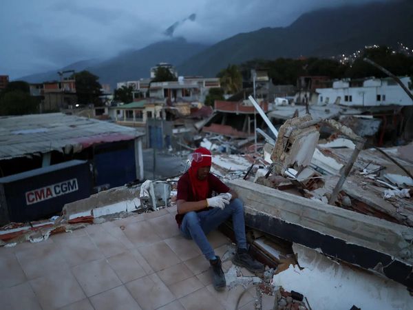
Israeli forces have reduced much of the Gaza Strip to rubble in the last 12 months. Over the course of the conflict, more than 70% of housing stock has been damaged, along with businesses and countless public buildings, including schools and hospitals.
Israel formally declared war on 8 October 2023 in response to the Hamas attack the day before, with initial bombardments targeting buildings in Gaza City. Gaza City and north Gaza are the areas that have experienced the highest proportion of building damage from airstrikes in the past 12 months, according to an analysis of satellite data by Corey Scher of the City University of New York and Jamon Van Den Hoek of Oregon State University.
While Gaza has endured bombing and ground offensives throughout the course of the year, a lot of the building damage happened early on: nearly 30% of the buildings in the strip had sustained damage within a little over two months. The UN estimated that up to 1.8 million people were already internally displaced by the end of November 2023.
The satellite image below, taken 11 months after the war started, shows the remains of the Rimal neighbourhood in Gaza City. The Islamic University of Gaza was destroyed within the first few days of the conflict, while al-Shifa hospital, which was raided twice by Israeli soldiers, lies in ruins.
Many Palestinian residents fled from the intense bombardment of the north to the southern cities of Rafah and Khan Younis, but Israeli military operations later expanded into these areas too. The following satellite imagery shows damage to buildings in Khan Younis.
The IDF’s ground incursion into Rafah, once deemed a “safe” city, began in May 2024.
Recent satellite imagery shows large portions of neighbourhoods adjacent to the border almost completely demolished.
Many places of worship, including the al-Awda, Bilal and Taiba mosques, have been damaged or destroyed. The devastation extends well beyond the Philadelphi corridor, the 100-metre buffer zone along the Gaza-Egypt border. The neighbourhood of As Salam in southern Rafah has been largely destroyed, with destruction reaching up to a mile from the border.
Satellite imagery also shows how the Israeli military’s creation of the Netzarim corridor, a militarised path that bisects Gaza into northern and southern halves, has changed the territory. It is visible as a horizontal line about half way down the image below.
A total of 42m tonnes of debris lies across the territory, the UN has said. Clearing the rubble, which contains human remains and unexploded ordnance, then rebuilding, could take 80 years, and cost more than $80bn (£61bn).