
QUICK FACTS
Where is it? Big Island, Hawaii [19.6103680, -155.4898339]
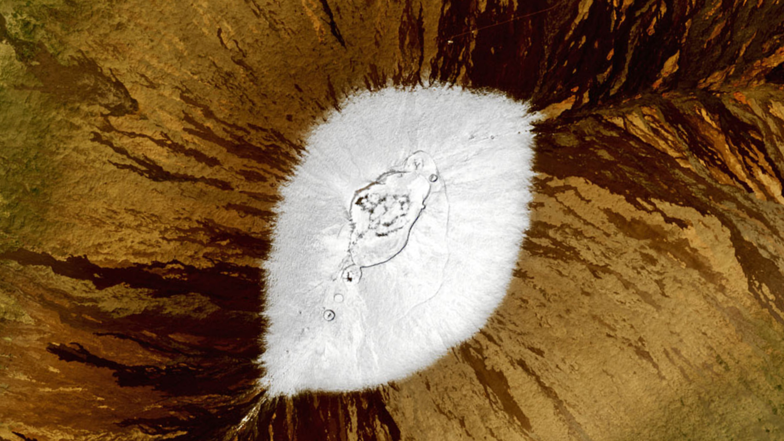
What's in the photo? Snow covering the summit of Mauna Loa
Which satellite took the photo? Landsat 8
When was it taken? Feb. 6, 2021
Striking satellite photos snapped in 2021 show the volcanic peaks of Hawaii's Big Island covered with a thick dusting of snow, also known by locals as "pineapple powder," following one of the island's most extreme snowfalls in recent history.