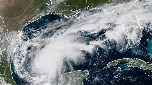
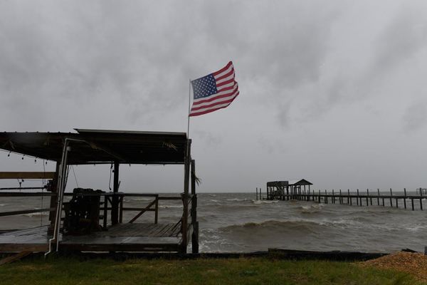
After three soggy years of La Niña in a row, Australia has endured record-breaking floods, the latest of which has inundated the Kimberley in Western Australia and across north and central Queensland.
While the rains may have initially been a relief after the heat, drought and fires that came before, they have long outstayed their welcome. Thankfully, the latest update from the Bureau of Meteorology (BOM) points to a continuing weakening of La Niña – but it also points to the possibility of El Niño emerging by the autumn.
You can think of El Niño as being like the opposite of La Niña. While La Niña is known for bringing cooler, rainy weather, El Niño brings hot, dry conditions. This means it’s often associated with drought, heatwaves and bushfires. The world’s hottest year on record in 2016 was an El Niño year.