El Niño might be back later this year; major climate agencies that closely watch the tropical Pacific have recently updated their outlooks. Latest observations indicate that the ongoing La Niña event is losing its strength as the sea surface temperature in the central Pacific is rising and moving towards neutral levels.
Both theAustralian Bureau of Meteorology and theNOAA Climate Prediction Center forecast models suggest that a likely transition to neutral conditions could take place by early autumn 2026. After that, the majority of the models signal a potential El Niño outbreak during the second half of the year. What the forecasters remind us is that it is difficult to get an accurate forecast for such a long lead time. Notwithstanding, the possibility of a warming phase is drawing attention because it tends to affect global temperatures and weather extremes.
La Niña shows signs of easing in the tropical Pacific
The 2025-2026 La Niña has weakened in recent weeks. Ocean temperatures have remained just below the La Niña threshold. Subsurface waters are warming, indicating that the event is losing strength. Atmospheric signs remain mixed. In some sections of the Pacific, trade winds have been slightly stronger than usual, while cloud formations around the Date Line have been below average. The Southern Oscillation Index remains favourable, while short-term tropical systems can distort values in the summer. Both agencies predict neutral ENSO conditions between February and April. Neutral conditions are expected to remain throughout the Northern Hemisphere summer.
Models indicate a possible El Niño later in 2026
Beyond mid year, outlooks diverge. Several models suggest a 50% to 60% chance of El Niño forming during late summer or autumn. Forecasters stress that long-range ENSO predictions are less reliable at this time of year due to what is known as the seasonal predictability barrier. Even so, the shift from La Niña to El Niño would mark a notable change in Pacific climate patterns. The El Niño Southern Oscillation, or ENSO, cycles between warm, cool and neutral phases. Each phase alters rainfall, storm tracks and temperature patterns worldwide.
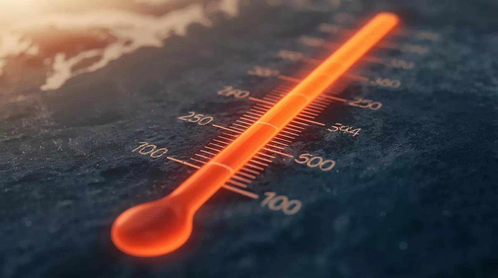
El Niño tends to lift global temperatures
El Niño events usually add a small but measurable increase to global average temperatures, often around 0.1 to 0.2 degrees Celsius. In a warming climate, that additional heat can push annual averages to new highs. Recent years have already ranked among the warmest on record. Without the cooling effect of La Niña, and with the possible boost from El Niño, 2026 or 2027 could see further records challenged.
Weather impacts vary by region. Southern parts of the United States and parts of southern Europe often experience wetter conditions. Northern North America can turn warmer and drier. In the Atlantic, hurricane activity typically decreases, while the central and eastern Pacific may become more active. For now, the Pacific is in transition. Neutral conditions are expected first. What follows remains less certain, though the signals are being watched closely.