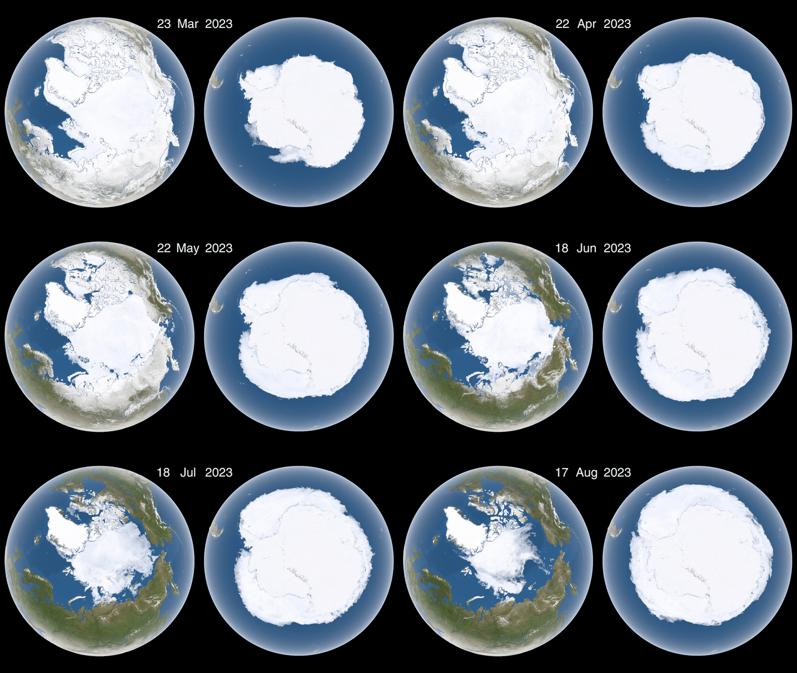
New research from NASA and the National Snow and Ice Data Center (NSIDC) in Colorado measured Arctic sea ice cover on March 22, during what should've been its annual peak. In conclusion, the agency reported seeing 5.53 million square miles (14.33 million square kilometers) of sea ice — for context, that's the lowest Arctic winter sea ice levels have ever been.
To make matters worse, NASA scientists also discovered that, this year, summer ice in the Antarctic retreated to 764,000 square miles (1.98 million square kilometers) as of March 1, tying for "the second lowest minimum extent ever recorded there." The combined loss of sea ice in both polar regions has led to an all-time low for total sea ice on the planet. In mid-February 2025, ice coverage globally declined by over million square miles (2.5 million square kilometers) from what the average was prior to 2010. Altogether, the missing sea ice is now roughly the same size as the continental United States east of the Mississippi.