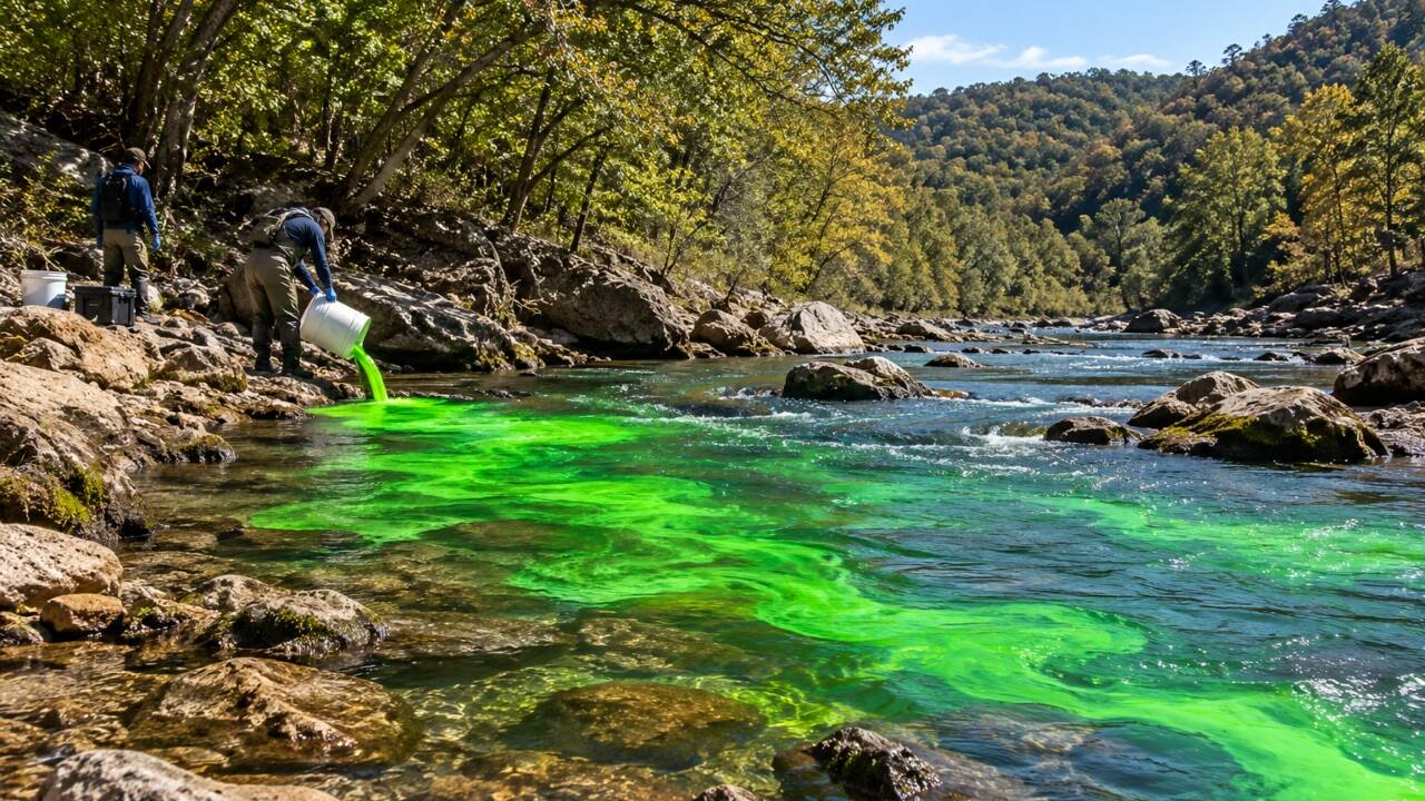
In October 2020, scientists investigating a stream in northwestern Arkansas used fluorescent dye to trace a hydrological connection beneath a seemingly dry stretch of creek. Following the introduction of the dye into a flowing section of the Left Fork of Big Creek, researchers noticed a point 2.9 miles downstream where surface flow resumed. The U.S. Geological Survey (USGS) spearheaded this field research as part of a targeted project on stream and groundwater interaction in Newton County, Arkansas, releasing the finalised data in January 2022. Moving into 2026, regional water management authorities actively utilise these resulting sub-surface karst maps to implement long-term watershed protection protocols and trace localised aquifer recharge rates.
Get breaking news anytime, anywhere. Download the TOI app now!