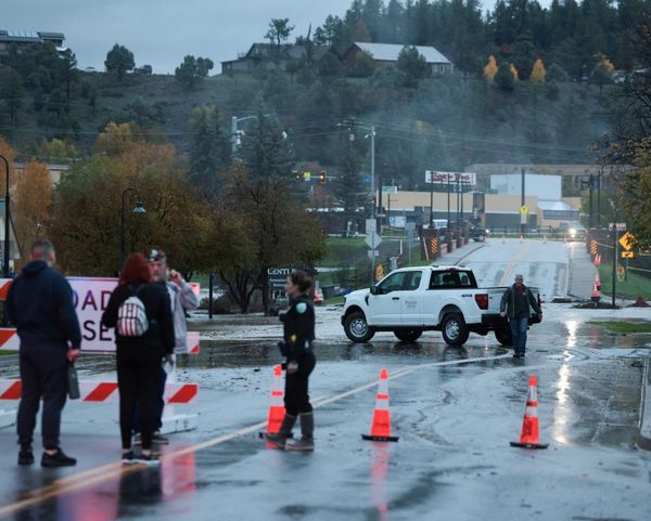

The latest round of severe storms in Michigan left thousands of residents repeatedly checking the DTE outage map as power disruptions spread across multiple counties, alongside rolling updates on Detroit weather, conditions in Grand Rapids, and reports from WOOD TV 8 as thunderstorms swept across the state on Monday afternoon. The system strengthened across Metro Detroit on 18 May 2026, with the National Weather Service in Detroit/Pontiac identifying a main threat window between mid-afternoon and evening, warning of damaging winds, hail and the possibility of isolated tornadoes as the line moved east.
A severe thunderstorm watch had already been issued earlier in the day across much of the Lower Peninsula, covering large portions of West Michigan and southeast Michigan, including Wayne, Oakland and Macomb counties as well as Kent and Kalamazoo. Issued by the NOAA Storm Prediction Centre and the National Weather Service, it stayed in place through the afternoon and into the evening, with forecasters repeatedly flagging the risk of rapid intensification once storms organised.