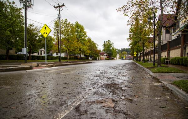
New satellite imagery reveals the extent of the destruction caused by the recent flooding in Asheville, North Carolina. Buncombe County, particularly Asheville, bore the brunt of the devastation brought by Hurricane Helene. The aftermath of the storm has left a trail of destruction, with dozens of lives lost and many individuals still unaccounted for.
First responders are working tirelessly to locate missing persons in the affected areas. The impact of the flooding has left many communities without essential services such as water, electricity, and cell phone coverage, exacerbating the challenges faced by residents.
Residents Maxwell Kline and Samuel Hayes described the situation as 'complete pandemonium,' highlighting the chaos and disruption caused by the natural disaster. The downtown River Arts District neighborhood was particularly hard hit, with floodwaters contaminated with oil inundating the area as the French Broad River reached historic levels.


Biltmore Village, another heavily affected area, experienced severe flooding as the Swannanoa River surged to unprecedented heights. Resident Pattiy Torno suffered significant losses, with both her house and art studio, Curve Studios & Garden, being destroyed by the floodwaters.
The images captured from space offer a stark visual representation of the scale of the disaster that has struck Asheville and its surrounding areas. The road to recovery will be long and challenging, requiring concerted efforts from the community and authorities to rebuild and restore normalcy in the affected regions.


