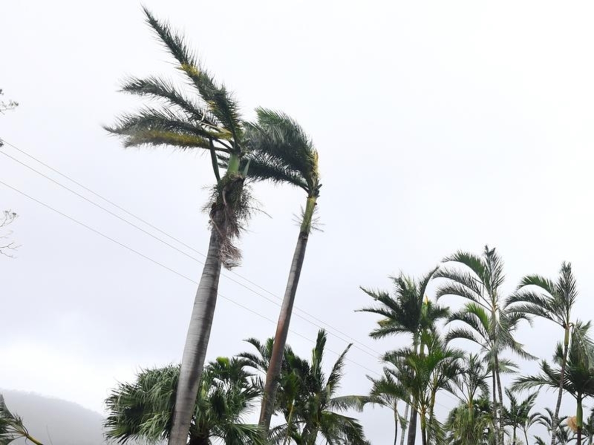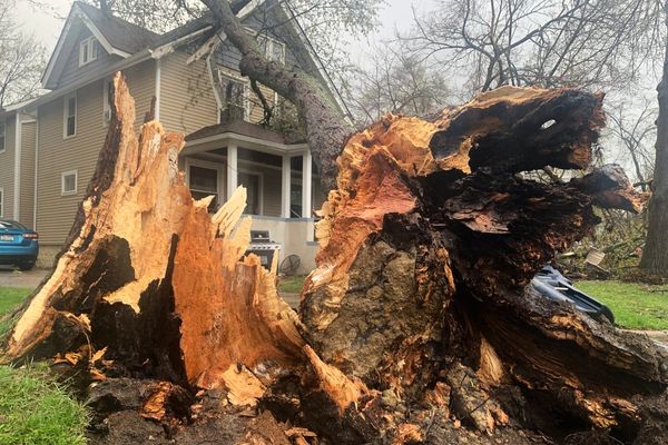
A tropical cyclone is set to form off the coast of north Queensland within hours and could threaten Norfolk Island with very destructive 165km/h winds.
The storm is about 870km northwest of Mackay, with sustained winds of 65km/h, but meteorologists expect it to strengthen to a Category One cyclone by 4pm on Wednesday.
The Bureau of Meteorology (BOM) forecasts the system to intensify into a Category Two cyclone with destructive winds of between 125 and 164km/h by Wednesday night but remain well off the coast of mainland Queensland and track southeast.
"A direct tropical cyclone impact or landfall is not expected for the Queensland coast," a BOM update said on Wednesday.
"However, exposed east coastal areas may experience large waves and fresh to strong winds with the passing of this system from Thursday."
Meteorologists expect the system to strengthen into a Category Three cyclone with sustained, very destructive winds of more than 165km/h by 4pm on Thursday.
The storm will track towards the outpost of Norfolk Island, an island 1440km east of Brisbane that's home to almost 2200 people and administered by Queensland, by the weekend.
"An extended period of gale-force winds is likely, while heavy rainfall and damaging surf are also possible depending on the movement and intensity of the tropical low," BOM said in its forecast for the island on Wednesday.
"Warnings of damaging winds, heavy rain and dangerous seas and swell are in place for Norfolk Island on Saturday and Sunday."
Another tropical low near the Cocos Islands, northwest of WA, has a low chance of forming into a cyclone and continues to be monitored.
Should the weather systems form into tropical cyclones, the next two names on the list are Gabrielle and Herman.


