Coastal regions, where dense clusters of critical infrastructure are found, are facing the sharpest edge of climate change. The threats include paralysed transport networks and disrupted supply chains. To stay ahead, we need a clearer picture of these vulnerabilities that lets us anticipate the fallout before it comes. But right now, patchy data, inconsistent approaches, and the absence of a unified framework make it tough to grasp the scale of the risk.
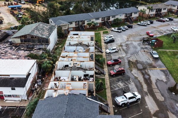
In late October, the Caribbean was ravaged by Hurricane Melissa, a type of storm whose likelihood has been quadrupled by climate change, according to research from Imperial College London’s Grantham Institute. With a death toll exceeding 40 and damages initially estimated at around $50 billion, the hurricane has laid bare the acute exposure of coastal regions to such disasters.
Coastal areas host a disproportionate share of the world’s major cities, ports, industrial hubs, and essential infrastructure. Some 40% of the global population resides within 100 kilometres of the coast, while 11% live in low-lying coastal zones (areas less than 10 metres above sea level). This coastal concentration stems from the strategic advantages of maritime trade, access to natural resources such as water and fisheries, and the economic draw of tourism.