
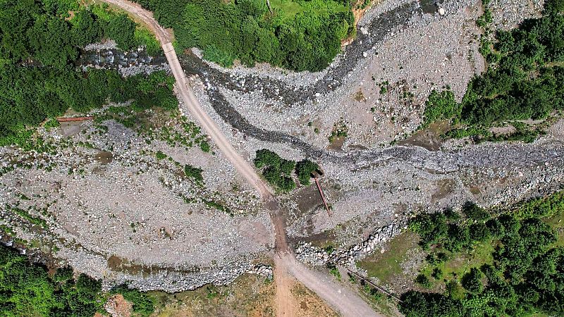
As extreme weather becomes more frequent, researchers are turning to artificial intelligence in an effort to better understand and respond to climate-fuelled disasters.
After a 7.4-magnitude earthquake struck just outside Hualien in Taiwan in April 2024 - the strongest in the country in 25 years - thousands of landslides devastated remote mountain communities. To assess damage, emergency teams often rely on satellite images to spot affected areas. But manually scanning these images can take hours or even days.