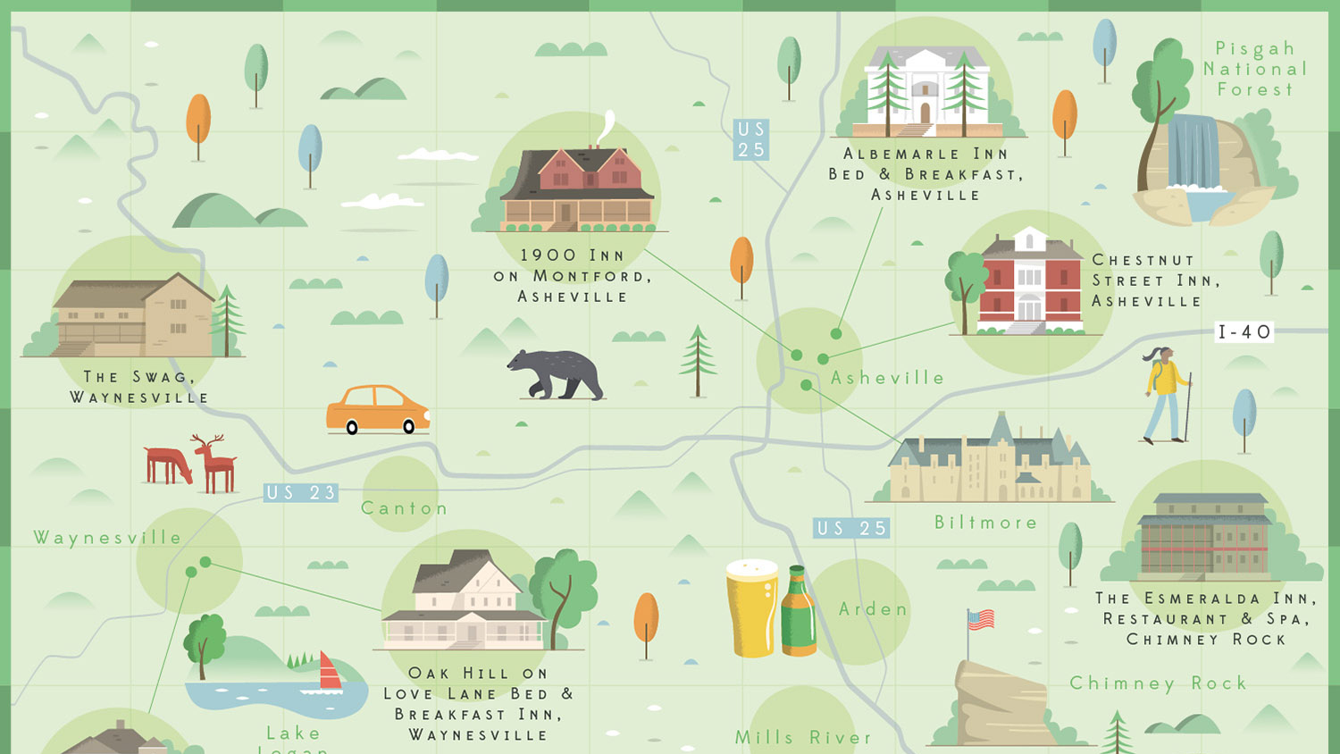
Map illustration has had a real resurgence over the past few years. An exciting alternative to a dry Google map, illustrated maps can be filled with character and fun detail to truly capture the atmosphere of a city. Creating your own map illustrations is a challenging exercise in composition, but can be a great addition to your design portfolio.
Every map is a careful balancing act of plotting elements to their geographic location whilst also ensuring the illustration layout works in harmony. For some of the best maps ever created see our best map designs feature. In this tutorial, I’ll walk you through a step-by-step guide to how to create your own map illustrations, from initial layout to final image. All you need is access to Google maps and your digital art software of choice.