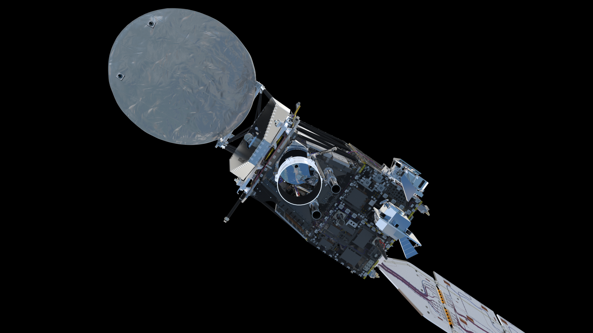
Scientists now have more information to study how human-driven climate change is impacting our planet, thanks to brand new imagery arriving from the European Space Agency's (ESA) Earth Cloud Aerosol and Radiation Explorer (EarthCARE) satellite.
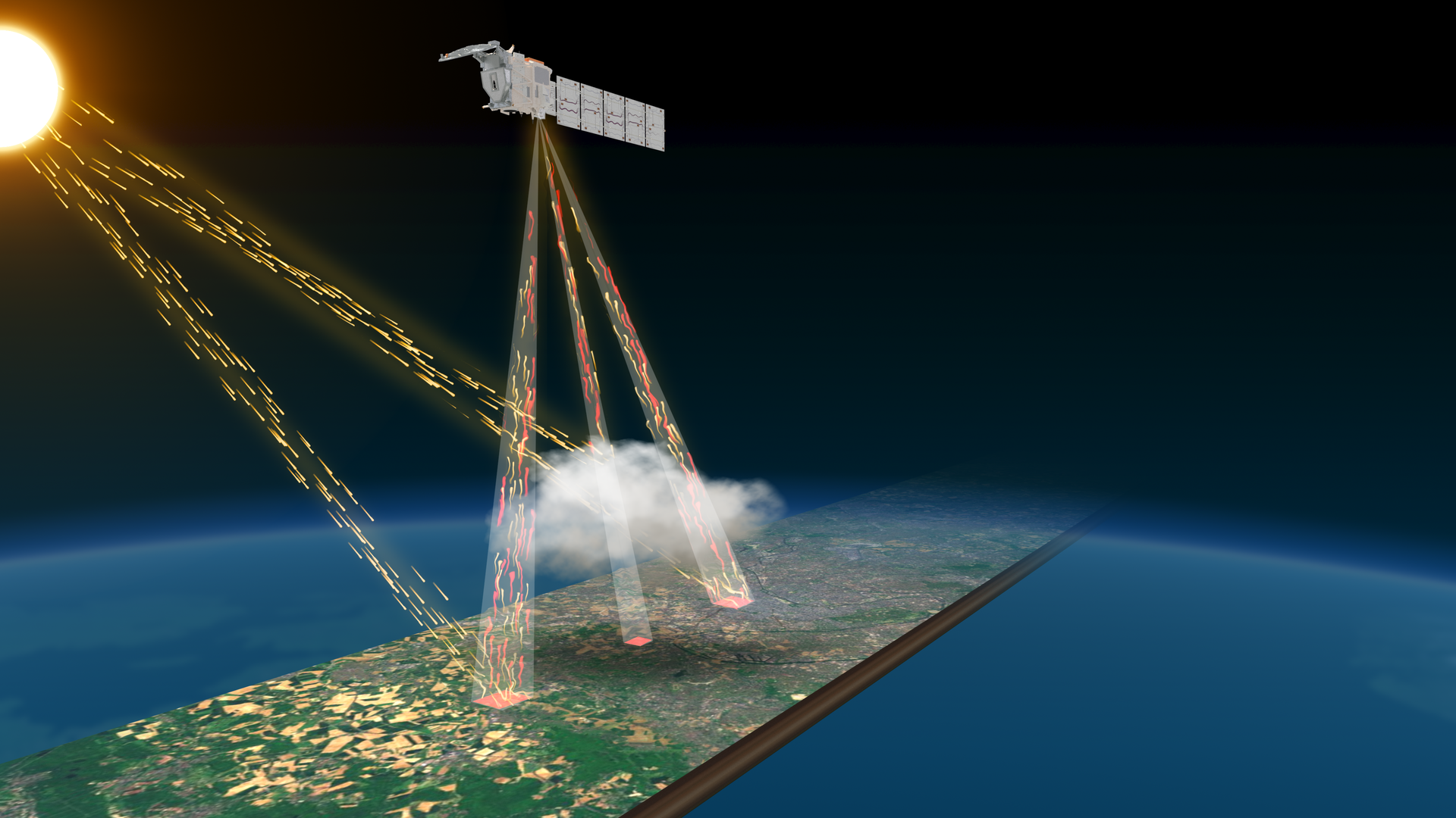
The cloud and aerosol mission launched on May 29, 2024 from Vandenberg Space Force Base on a SpaceX Falcon 9 rocket; just over a month later, its broadband radiometer instrument managed to produce the first image from the mission. This image, the team says, captures Earth's energy balance — referring to how much energy the planet takes in from solar radiation, and how much thermal radiation is then released from Earth back into space.
As global temperatures are on the rise, the mission is thus crucial. With EarthCARE in action, scientists should be able to better understand how, precisely, human activities are contributing to an increase of greenhouse gases and how industrial plants, traffic and agricultural practices are also sending aerosols into Earth's atmosphere.
"Of course we have never doubted the EarthCARE broadband radiometer's potential, but here we see, at such an early stage in the mission, that the instrument is working very well and delivering excellent data," Simonetta Cheli, ESA's Director of Earth Observation Programs, said in a statement.
Related: SpaceX launches Earth-observing EarthCARE satellite during rocket flight doubleheader
"Each of the satellite's different instruments has an extremely important role to play — and when all of them are working in harmony and the satellite is commissioned, then the scientific community and weather forecasters will have a powerful tool to advance our understanding of Earth’s energy balance, advance climate science and improve weather predictions," Cheli added.

The radiometer is one of four instruments aboard the satellite that highlights how clouds and aerosols play a part in regulating our climate. Last month, the satellite's cloud profiling radar instrument captured an image that showcased the dynamics and internal structure of clouds, a turning point in studying clouds from space.
"We are thrilled to be able to present this first image, which reveals detail on the internal structure of cloud dynamics over the ocean, east of Japan on 13 June," Takuji Kubota, Japan Aerospace Exploration Agency's (JAXA) Mission Scientist for the cloud profiling radar, said in a separate statement. "This is the first image of its kind — we have never had this kind of information measured from space before. It is all we hoped for, and more. I believe that the cloud profiling radar will bring various scientific discoveries."
Typically, these types of measurements can only be taken from a cloud radar on the ground or from an aircraft. The EarthCARE satellite allows for a more uniform scan of the planet, however, providing a three-dimensional view that helps researchers understand climate science unlike ever before.


