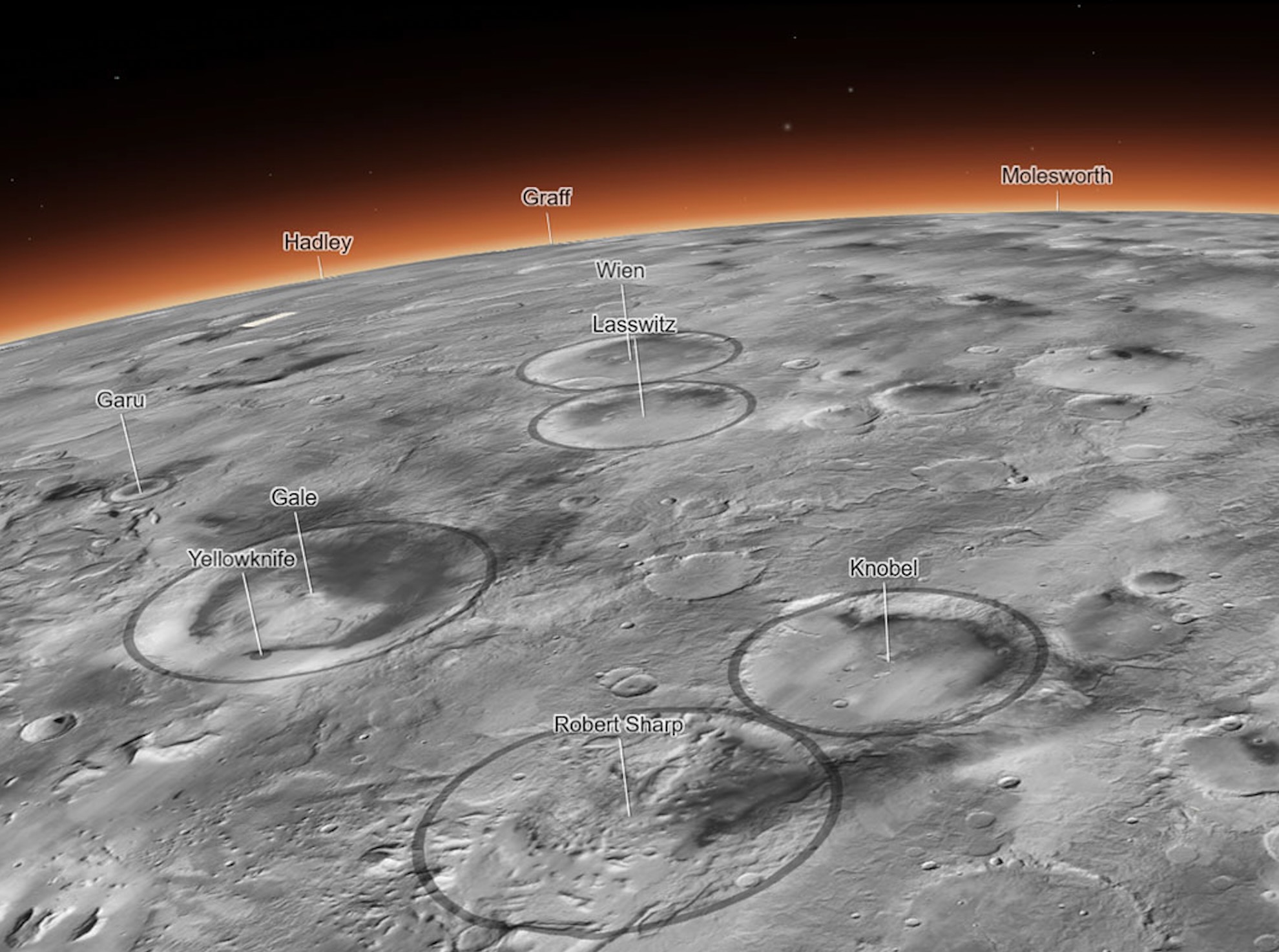
If you're the kind of person who can spend hours upon hours clicking around Google Earth, there's a new toy for you. NASA has just released the most detailed 3D map of Mars ever made.
Created by the Bruce Murray Laboratory for Planetary Visualization at the California Institute of Technology in Pasadena, the interactive Global CTX Mosaic of Mars map is a mosaic created from images taken by NASA's Mars Reconnaissance Orbiter — more specifically, its black-and-white Context Camera.