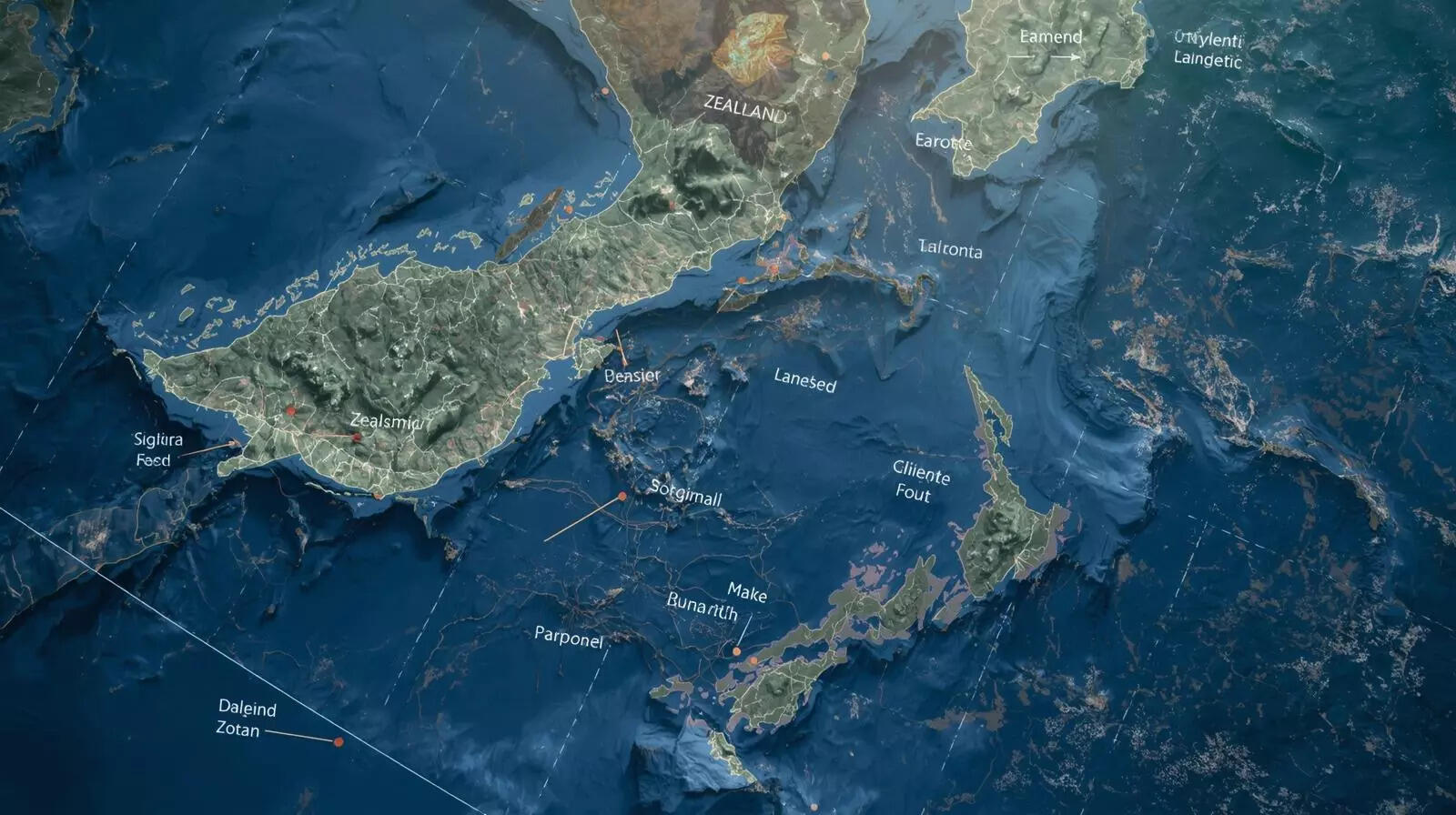
The map of Earth looks settled at first glance. Continents feel fixed, named, and counted. Yet over the past few decades, geologists have been quietly reshaping that picture. One large region in the southwest Pacific keeps returning to the discussion. Mostly underwater, stretched around New Zealand and New Caledonia, it does not behave like ordinary ocean floor. Its rocks, thickness, and shape point elsewhere. Known as Zealandia, this vast area of continental crust covers about 4.9 million square kilometres. Nearly all of it lies below sea level, which explains why it escaped notice for so long. But as data has improved, the case has grown clearer. Zealandia is not a loose collection of islands. It fits the definition of a continent, even if it remains largely hidden.