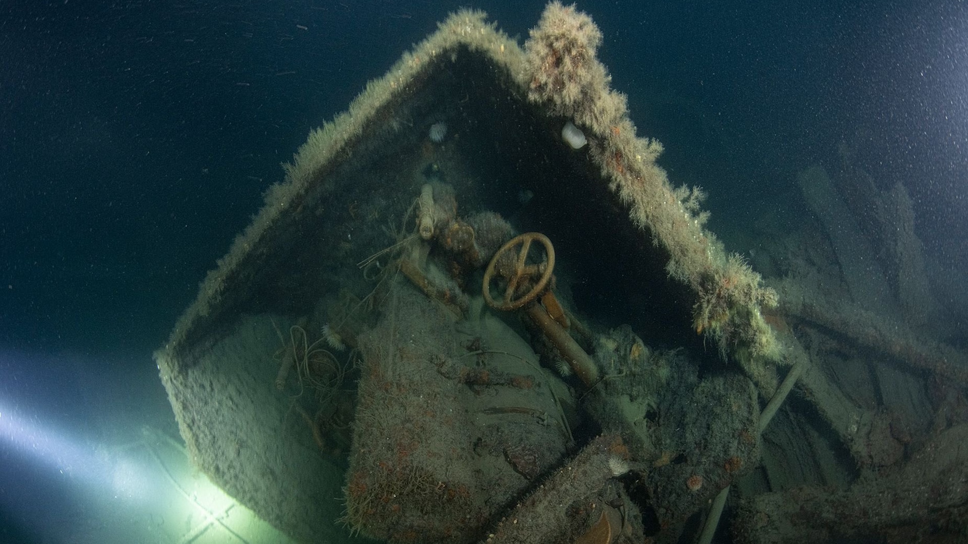
Shipwreck hunters in Scotland have located the wreck of a British warship that was sunk by a German U-boat in the North Sea nearly 110 years ago.
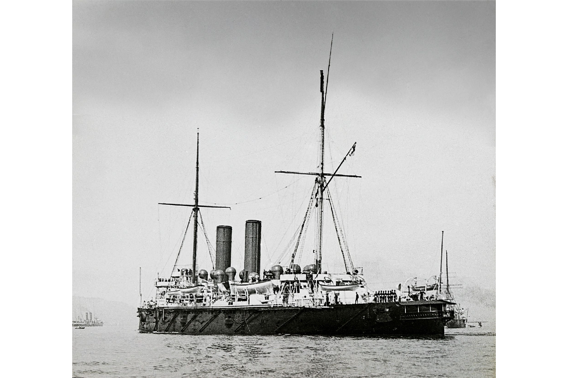
They said the wreckage is that of HMS Hawke, a 387-foot-long (118 meters) cruiser that quickly sank with 524 people on board after it was hit by a torpedo from the sub on Oct. 15, 1914.
Roughly 70 of the warship's crew survived by escaping into lifeboats, but the loss of life was still tremendous, Kevin Heath, a researcher with the Orkney-based Lost in Waters Deep group, told Live Science.
"This was very early — the beginning of the First World War," Heath said, adding that the British did not know at the time that U-boats had enough diesel fuel to reach Scotland. By the end of World War I, thanks to refueling in the mid-Atlantic, German U-boats had an even farther range and could reach the United States.
The Hawke was one of several British warships that had been assigned to blockade the German mainland — a tactic that kept most of the Imperial German Navy in port during the war. But the new submarine technology of the German U-boats allowed them to avoid the blockade and sink several Allied warships and civilian ships.
Related: 30 incredible sunken wrecks from WWI and WWII
U-boat threat
Heath said the Hawke was sunk by a torpedo from a U-boat designated U-9; it was commanded by Otto Weddigen, who would soon become famous in Germany. Just a few weeks earlier, Weddigen and U-9 had sunk three British cruisers patrolling the North Sea, causing more than 1,400 deaths.
According to historical accounts, the sinkings triggered an outcry among the British public and damaged the reputation of the Royal Navy. But these attacks also encouraged the British Admiralty to take the threat of German U-boats more seriously.
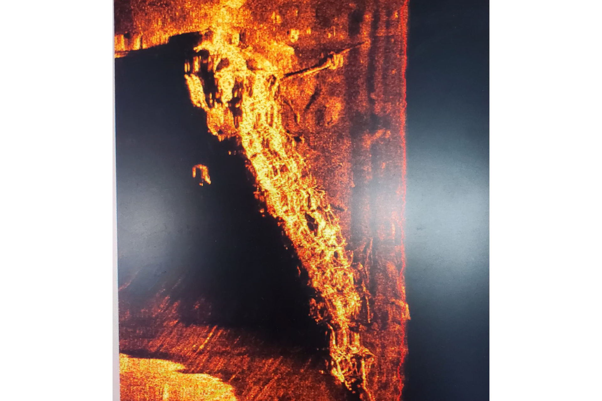
Heath said the wreck of the Hawke now lies on the seafloor beneath about 360 feet (110 m) of seawater and about 70 miles (112 kilometers) east of Fraserburgh, a coastal town in northeastern Scotland.
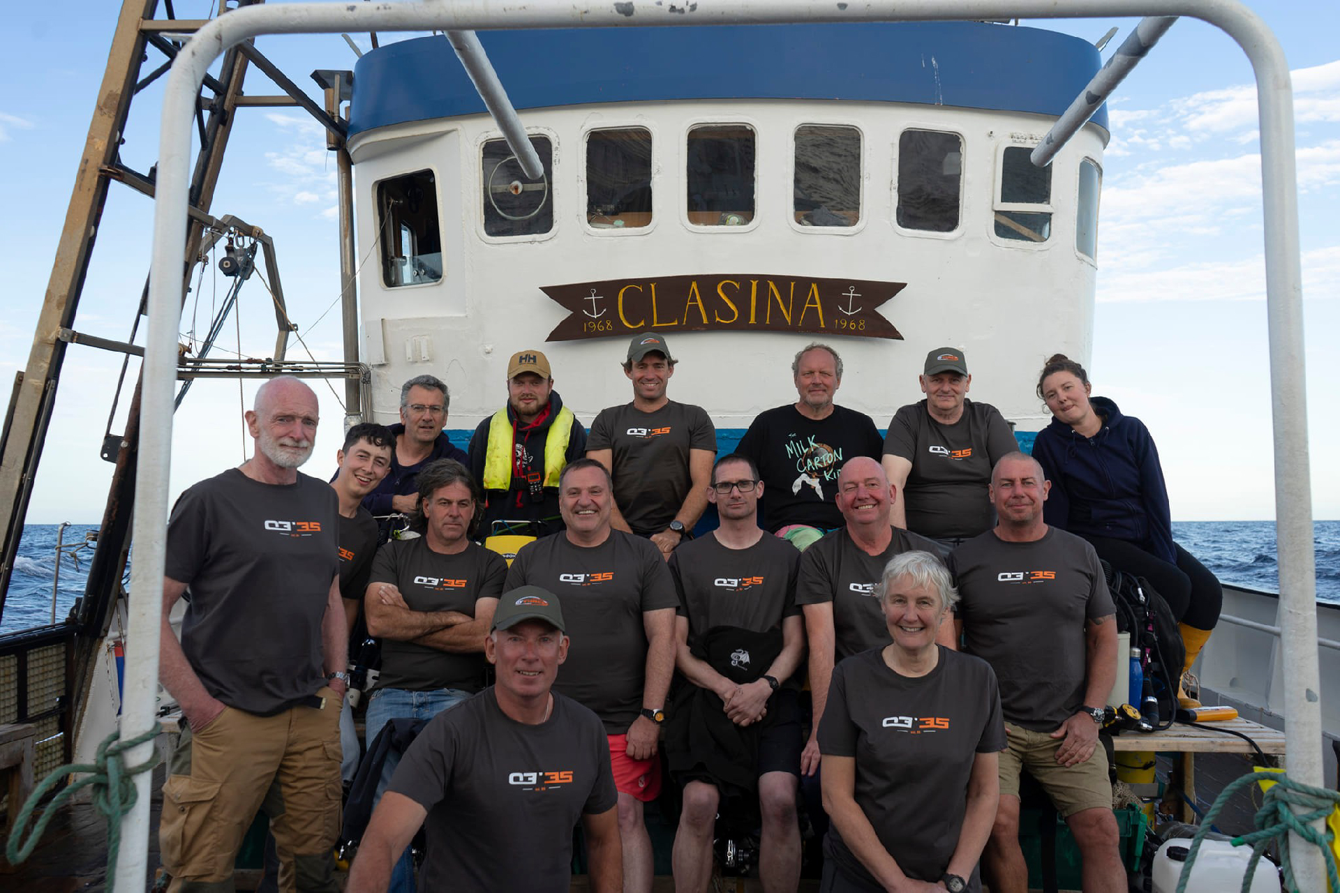
His group discovered it on Aug. 12 when they were returning from a dive to a seafloor obstruction that was marked on nautical charts but turned out to be nothing. The charted obstruction may have been an early estimate of the location of the Hawke wreck made with the less-accurate Decca navigation system used before the introduction of GPS, Heath said.
War grave
Heath and the Lost in Waters Deep group determined the rough location of the wreck thanks to reports of the sinking, including the logbook from the German U-boat.
The group has informed both the Royal Navy and the United Kingdom's Hydrographic Office, which produces electronic and paper nautical charts for the area, Heath said. The site of the Hawke wreck is a war grave and, therefore, can be protected by law from interference and possibly from all future attempts to dive there, he said.
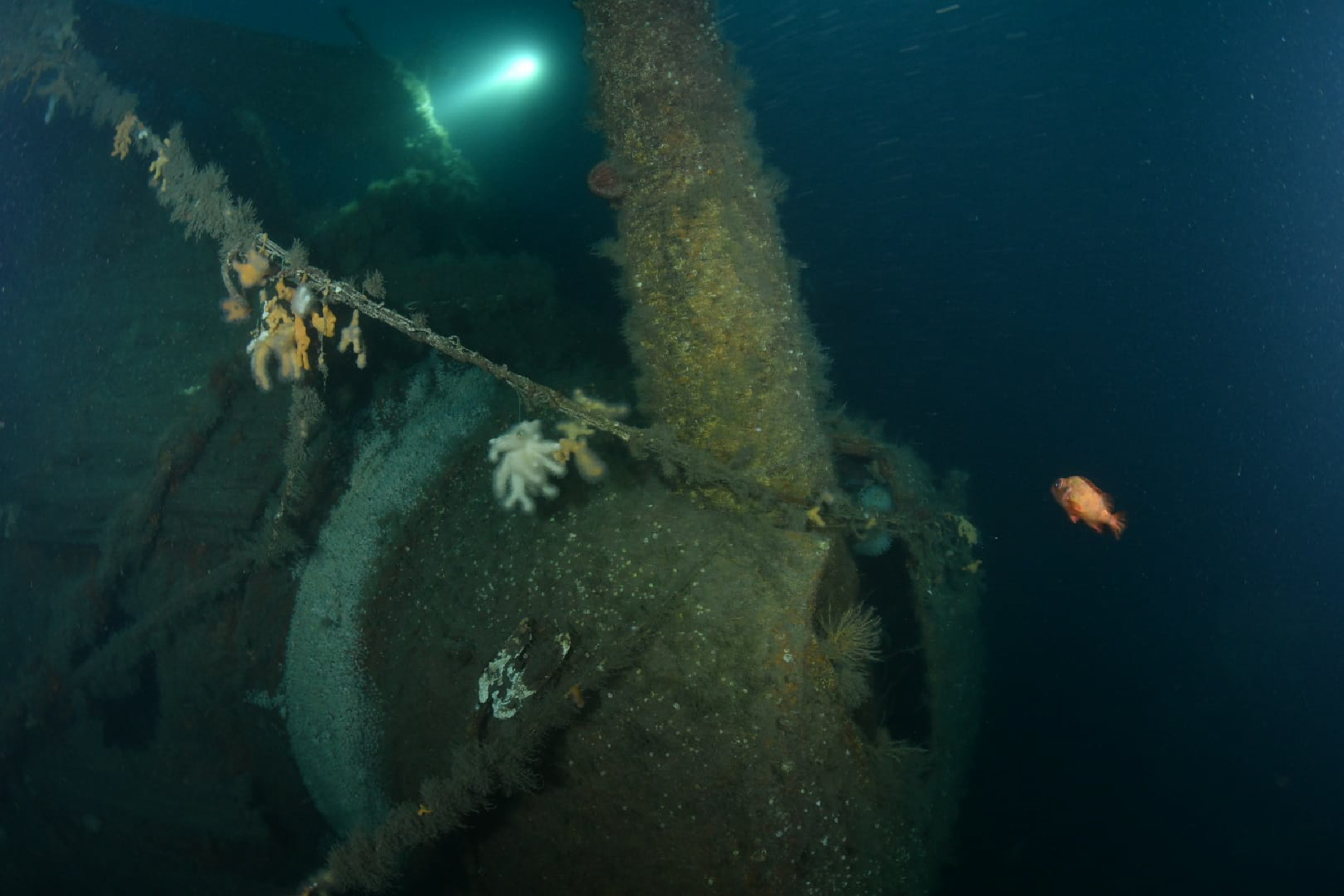
At the moment, the only underwater images of the wreck were taken by the group's divers during their August expedition to the area. They show the wreck in "remarkable" condition, Heath told BBC News.
"Lots of the decking is still in place — teak decking," he said. Also, "there is a wonderful captain's walkway around the back of the stern [and] loads of guns, because obviously she was a warship."


