
The UK was blanketed by heavy snowfall amid sub-zero temperatures last week - but what are the chances of a white Christmas this weekend?
Forecasters say the festive weekend will likely be dominated by unsettled and unpredictable weather as northerly winds look set to upset the milder conditions seen so far this week.
Compared to last week’s wintry climbs, this week has been subject to warmer, wetter weather – but there is growing uncertainty among forecasters as to whether this will last much longer.
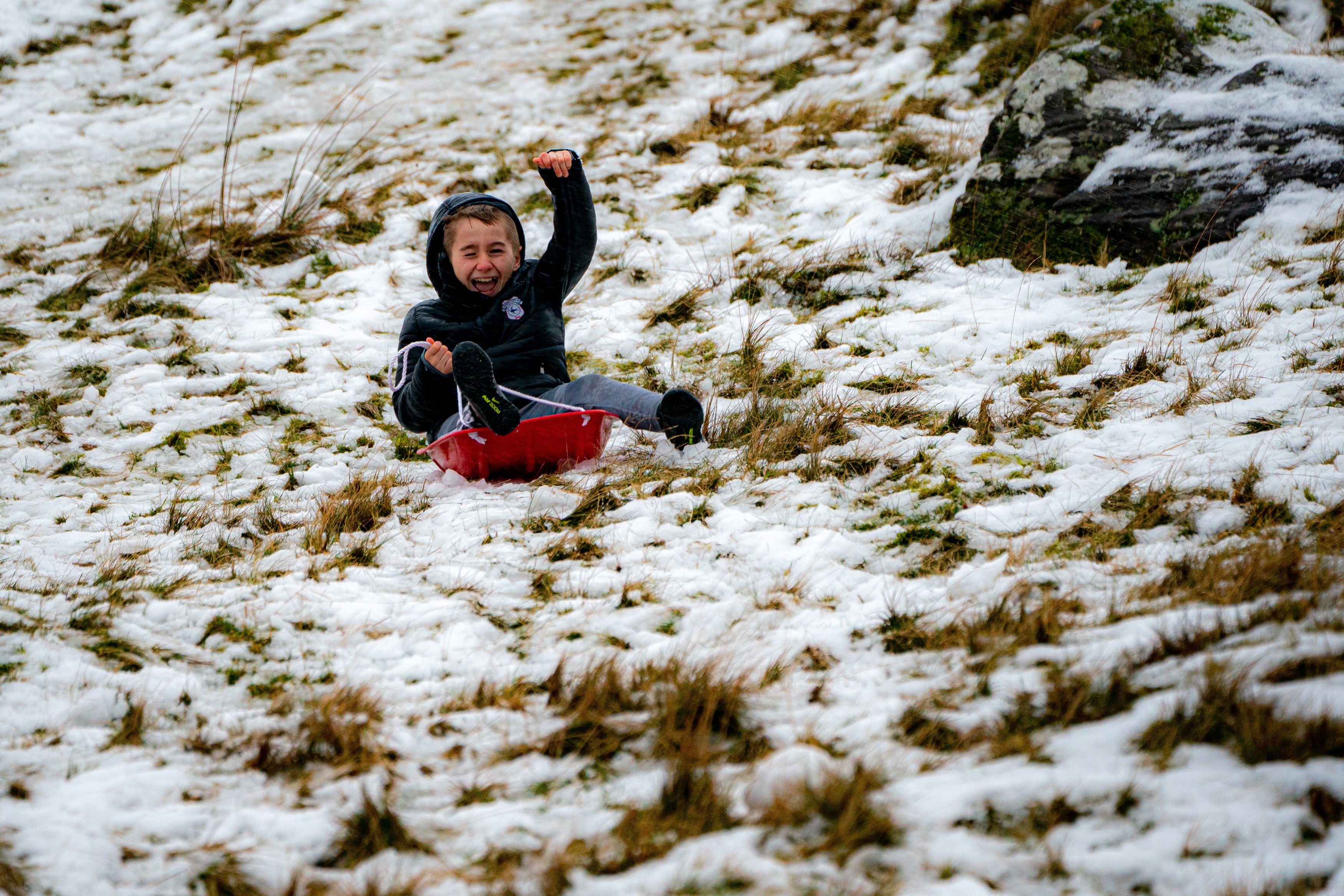
As the cold and mild air clash in the run-up to Christmas, there are now signs that it will turn colder, bringing with it the possibility of snow.
At present, the location of any snowfall is uncertain. But Met forecasters have hinted that the “cold air and wintry conditions” on Christmas Day will most likely be confined to the north of the UK.
For those further south, hopes of a White Christmas have been dashed as the weather will likely be “mild with a risk of rain or showers.”
The Met Office told The Independent the UK is setting itself up to be “a battleground” between cold air in the north and mild air in the south.
“Far northern areas, including the northern isles of Scotland, will see the greatest chance of that colder air digging down during the second half of the week, potentially into the Christmas weekend,” the forecaster said.
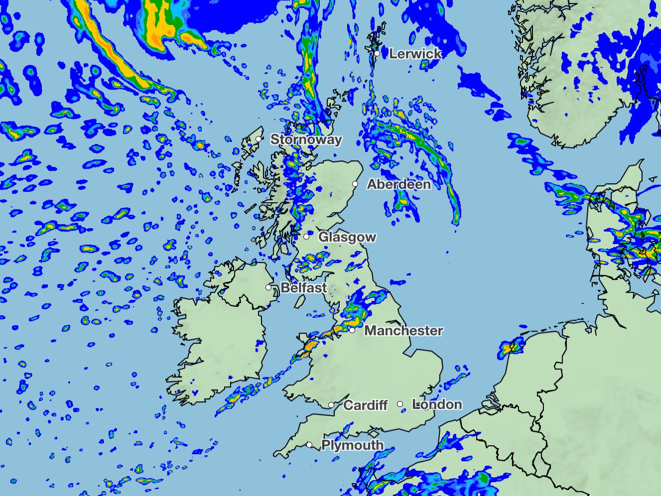
Met Office deputy chief meteorologist Dan Harris said: “From mid-week, we expect to see a north/south split develop with colder weather arriving in the north, while the south hangs onto the mild conditions.
“There are, however, large uncertainties concerning where the boundary between these two air masses will eventually end up, especially as we head into the Christmas weekend.
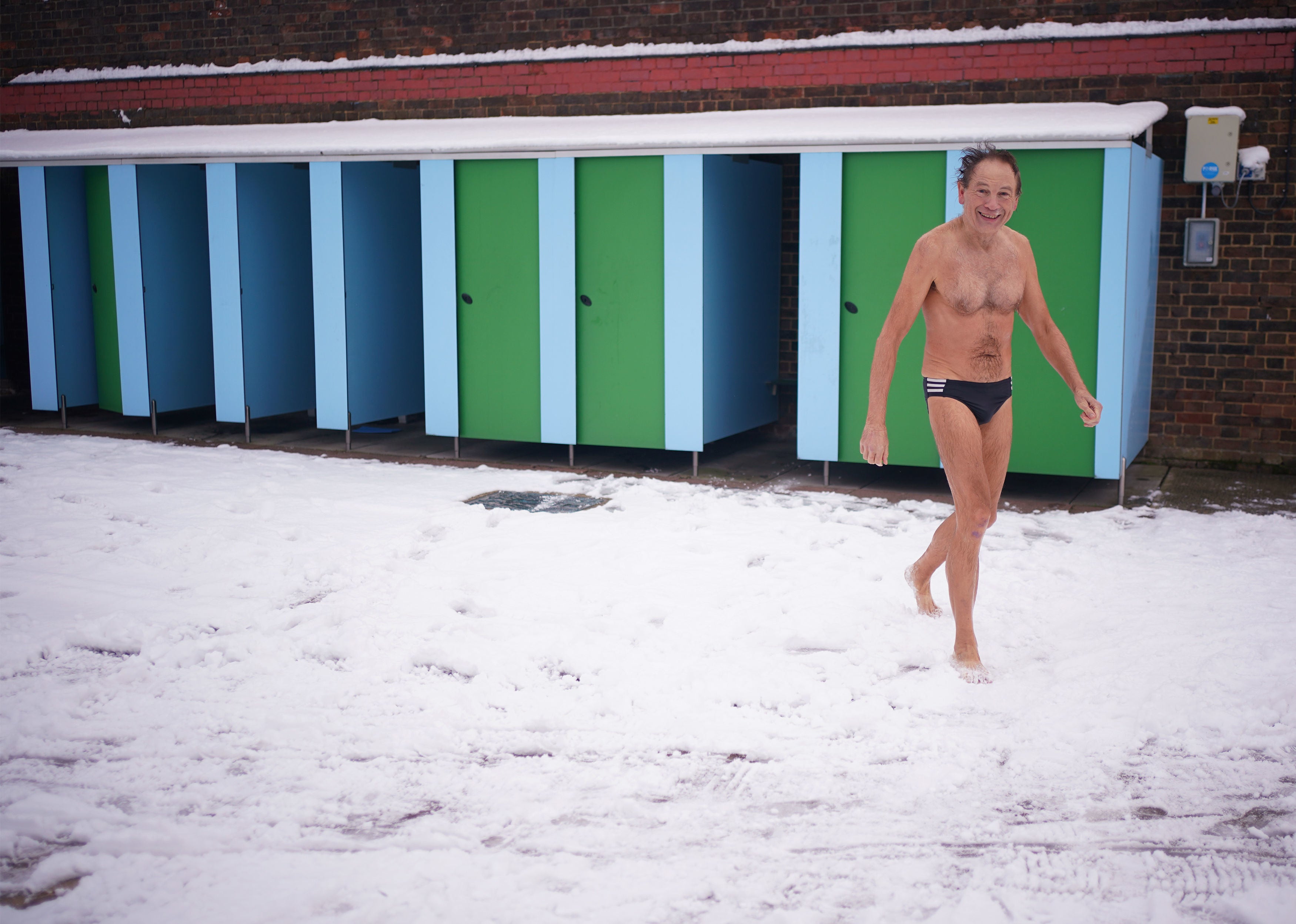
“Uncertainty in the weather forecast details is not unusual at 6-7 days out, and the current weather patterns are heightening those uncertainties.
“Confidence in the forecast is unlikely to increase until mid-week at the earliest and a range of outcomes are still possible.”
The Met Office added that, heading towards New Year, there is potential for “a more settled spell to bring overnight frosts and morning fog, before a probable trend towards more changeable and milder conditions.”
MET OFFICE OUTLOOK
Wednesday
Rain clearing most of the southeast by lunchtime. Blustery showers continuing in the north but becoming dry with sunny spells further south. Mild in the south but temperatures near normal elsewhere.
Wednesday night
Showers continue in the north. A few fog patches in south, before thicker cloud and rain spread in from the west. Rain heavy at times across central areas.
Thursday:
Bright or sunny spells, with showers in the north sinking slowly south to reach Northern Ireland and northern England by afternoon. Cloudier in south with outbreaks of rain.
Friday to Sunday:
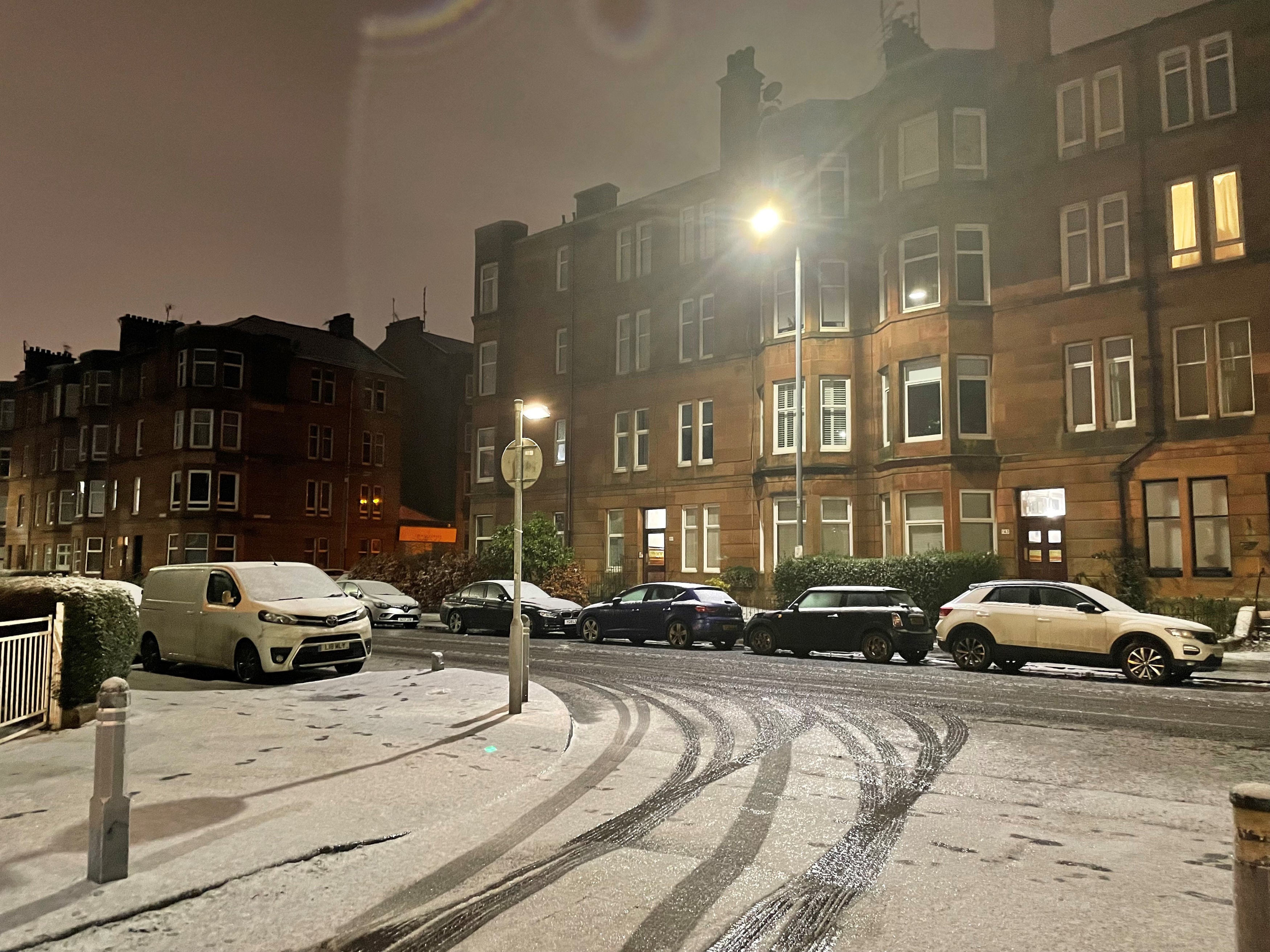
Mild across the south for much of the period with rain at times but also some sunshine. Colder in the north with some snow possible, mainly for Scottish hills.
