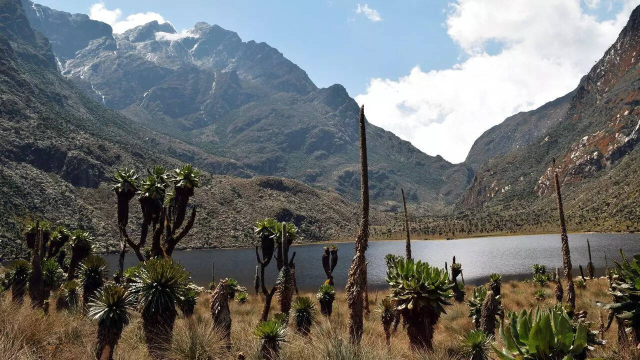
The Rwenzori Mountains rise high. More than 5,000 metres, or around 16,000 feet, above sea level. You can see them for miles if the clouds let you. Some say they’re even visible from orbit. But that depends on the weather. Mist and clouds often hide them, especially during long rainy seasons when visibility drops sharply.
Captured by the Landsat 9 satellite on March 13, 2024, this scene is nearly cloud-free. It’s reportedly one of the clearest natural-colour views in years. The mountains straddle the Uganda–DRC border and lie along the western arm of the East African Rift. Tectonic forces here pull the land apart. Some blocks sink. Others, like the Rwenzori, rise. Unlike Kilimanjaro and Mount Kenya, these aren’t volcanic.