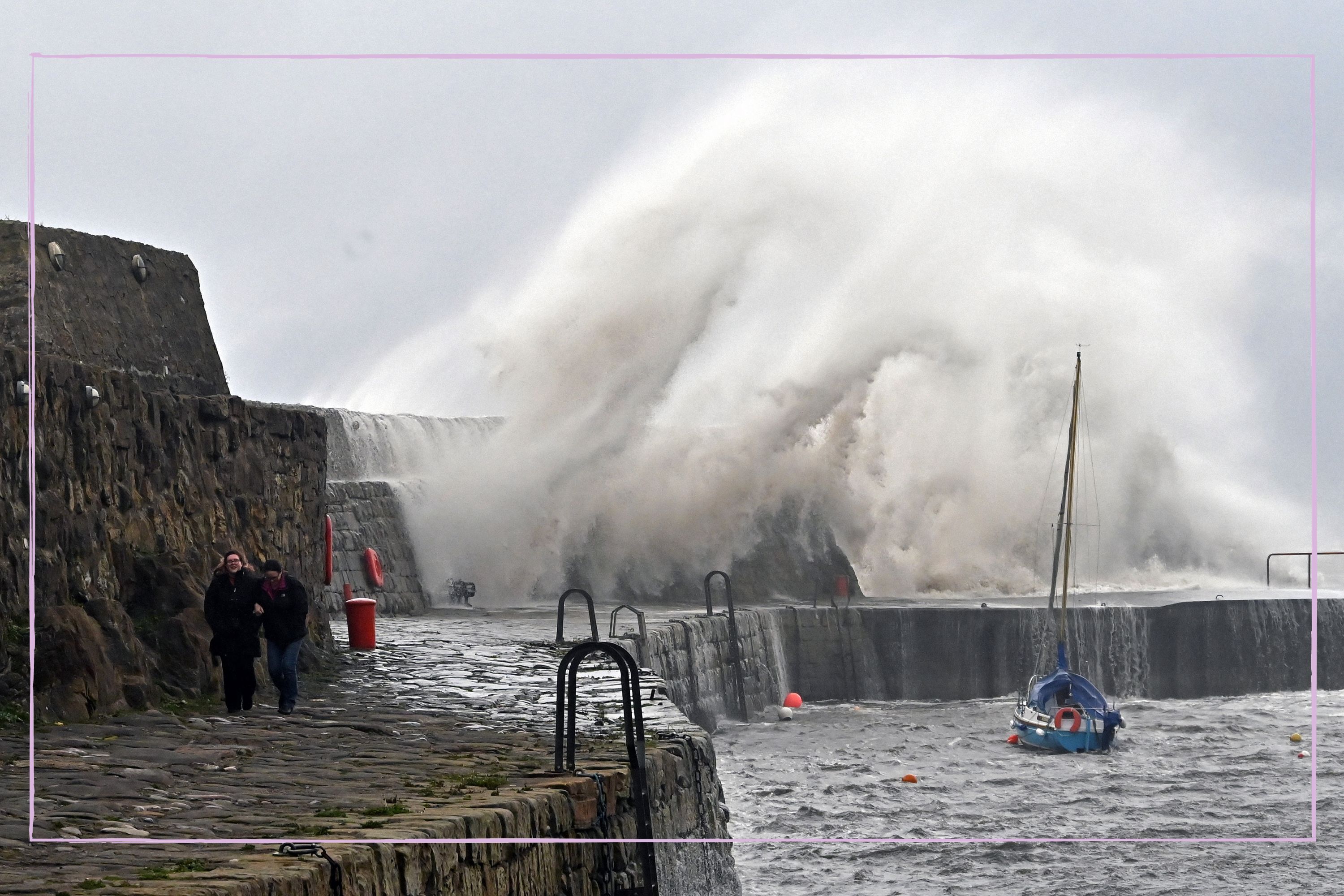
The UK is bracing itself for another storm, and people across the country want to know where Storm Ciaran will hit and when it's expected to arrive.
Following the start of autumn, the weather has taken a wet and windy turn. Just two weeks after Storm Babet submerged areas of the UK in water and inflicted flooding damage, another spell of strong winds and rain is forecast in the UK. Now, a deep area of low pressure named Storm Ciaran is expected to hit the UK this week, bringing with it another exceptionally stormy period.
Usually, the arrival of November leaves people wondering when it will snow and even thinking about the possibility of a white Christmas, but there's no festive weather on the horizon at the moment, thanks to impending strong winds and rain. We've taken a look at the weather forecast to find out where Storm Ciaran is expected to hit the UK and when it will arrive.
Where will Storm Ciaran hit the UK?
Most of the UK will be affected by Storm Ciaran, but the south will experience the heaviest rainfall. According to the Met Office, gusts of up to 80mph could hit the south coast of England, with a chance of 90mph in exposed areas.
The Channel Islands will also be affected by winds of a similar speed, and have been warned that ferry services are likely to be disrupted. Further inland, gusts of up to 50mph or 60mph are forecast.
The rain associated with Storm Ciarán will move north-east from Wednesday evening and throughout Thursday, and by the end of the week some of the highest rainfall totals are expected to be across southern England, south Wales, parts of northern England, Northern Ireland and eastern Scotland.
It's possible that this low-pressure system could be one of the deepest areas of low pressure recorded in November in the UK, close to the current record of 948.4hPa in 1954.
When will Storm Ciaran hit the UK?
Storm Ciaran is expected to arrive in the UK on Wednesday 1 November, though there will be unsettled weather in the days beforehand. The full effects of the storm are expected to be felt on Thursday 2 November.
This is because a deep area of low pressure, named Storm Ciaran by the Met Office, is forecast to move into the southwest of the UK from Wednesday evening, bringing very strong winds and heavy rain to southern parts of England and Wales overnight and through Thursday.
Storm Ciaran weather warnings
- Yellow weather warnings for rain are in place in Northern Ireland until Wednesday morning
- Yellow weather warnings for both rain and wind will be in place along the south coast, south-west of England and south Wales from Wednesday evening until midnight on Thursday
- A yellow weather warning for rain will be in place in the northeast from 6am on Thursday until 6am on Friday
The Met Office explains that yellow weather warnings are issued when it is likely that the weather will cause some low-level impacts, including some disruption to travel in a few places. However, they add, "Other yellow warnings are issued when the weather could bring much more severe impacts to the majority of people but the certainty of those impacts occurring is much lower."
You can find out the details of the specific weather warnings in place on the Met Office website.
Meanwhile, there are currently 25 flood warnings in place and 118 flood alerts across the UK too. You can check if your area is expected to experience flooding by visiting the gov.uk flooding service.
⚠️ Yellow weather warning issued ⚠️Very strong and potentially damaging winds associated with #StormCiarán Thursday 0000 – 1800Latest info 👉 https://t.co/QwDLMfS950Stay #WeatherAware⚠️ pic.twitter.com/FGHlfFrXVuOctober 29, 2023
What will the impact of Storm Ciaran be?
Storm Ciaran will bring strong winds and heavy rain to parts of the UK, bringing with it a risk of flooding, disruption to roads and public transport and an increased risk of fallen trees.
Met Office Deputy Chief Meteorologist, Steven Keates, said “Storm Ciarán will bring very strong winds along the south coast of England and Wales, with gusts of 70 to 80mph possible, even 90mph in exposed locations. Further inland gusts could reach up to 50 or 60mph.
“As well as strong winds, this deep low-pressure system will bring heavy rain to many parts of the UK. The heaviest rain is expected in southern and western areas with 20-25mm possible widely and 40-60mm over higher ground. This rain will fall on already saturated ground, bringing a risk of flooding.”
Kate Marks, flood duty manager at the Environment Agency, said: “Significant surface water flooding is possible but not expected in the South East of England today and minor river flooding impacts are probable. Further significant flooding impacts are possible from Wednesday through to Friday in response to rain from Storm Ciaran.”
If you're getting ready for the colder weather, you might want to find out how cold it needs to be for schools to close, and start stocking up on kids' winter boots, waterproof gloves and puddle suits.


