Get all your news in one place.
100's of premium titles.
One app.
Start reading
The Conversation
The Conversation
Stewart Edie, Research Geologist and Curator of Paleobiology, Smithsonian Institution

Where nature draws the map – here are 5 ways to look at the US, without state boundaries

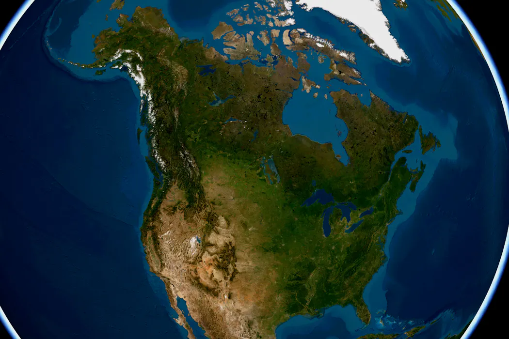
Varied landscapes and natural contours transcend state boundaries. Smithsonian/Esri, CC BY-ND

State boundaries can be iconic. Many were drawn by human hands, but some of the most recognizable contours were shaped by nature: the boot of southeastern Louisiana, carved by the Mississippi River, or the ocean waves sculpting the hook of Cape Cod in Massachusetts.

For a moment, imagine that there are no state lines. View the United States through its natural contours. As curators at the Smithsonian’s National Museum of Natural History, we often look at our nation this way, drawing different kinds of maps that trace mountains, watersheds, animal migrations, biomes, ancient seas and so much more.
Sign up to read this article
Read news from 100's of titles, curated specifically for you.
Already a member? Sign in here
Related Stories
Top stories on inkl right now
One subscription that gives you access to news from hundreds of sites
Already a member? Sign in here
Our Picks
Fourteen days free
Download the app
One app. One membership.
100+ trusted global sources.