Meteorologists warn Storm Goretti will bring a “weather bomb” to the UK and cause disruption across large swathes of the country.
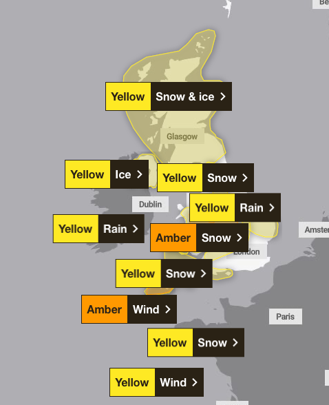
The Met Office has issued two amber and seven yellow weather warnings across Britain on Thursday, in what chief forecaster Neil Armstrong has described as a "multi-hazard event" with heavy rain, strong winds and snow.
Both BBC Weather and the Met Office have called Storm Goretti, named by the French meteorological service, a “weather bomb” as it develops rapidly in the Atlantic, primed to target the UK and France.
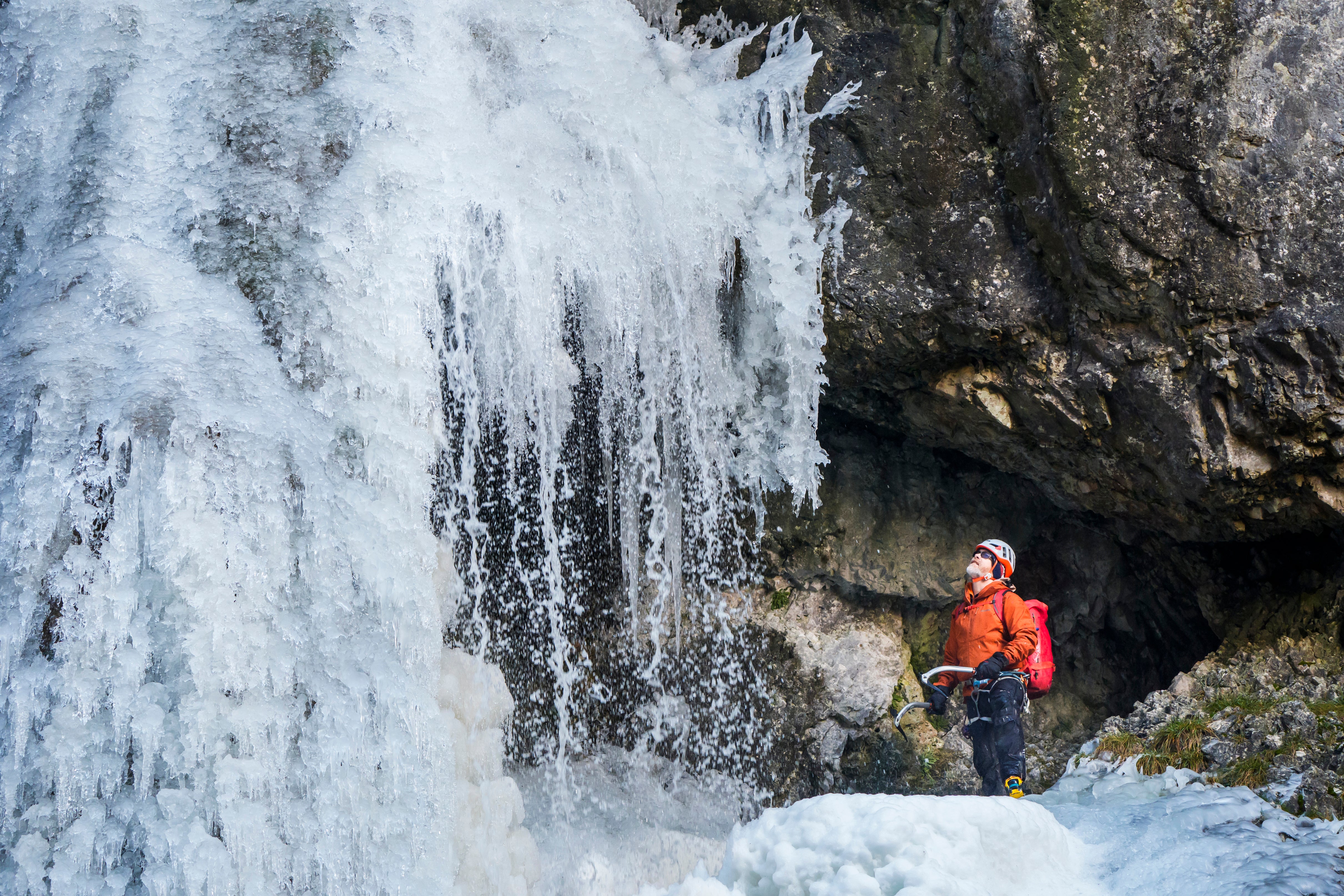
Amber weather warnings for wind and snow could bring gusts of 80 to 90mph to Cornwall, with large waves and debris risking “danger to life” from 8pm on Thursday, while Wales and the Peak District could see up to 30cm of snow overnight.
What is a weather bomb?
“Weather bomb” is the unofficial term for explosive cyclogenesis, where the central pressure of a storm drops by more than 24 millibars in 24 hours.
BBC Weather meteorologist Simon King said: “For Goretti, we’ll see a pressure drop of 36 millibars in the 24 hours from 6pm Wednesday to 6pm Thursday. Therefore, meeting the ‘weather bomb’ definition.”
A weather bomb can bring winds strong enough to bring down trees and cause structural damage, which peak over a period of a few hours.
It’s caused by the rapid acceleration of air caused by the jet stream, high up in the atmosphere, which can remove air from the column and cause the pressure to drop at sea level, according to the Met Office. This, in turn, sucks in air which converges from surrounding regions, resulting in faster rotation of the circulation and high winds.
What to expect from Storm Goretti?
Met Office meteorologist Alex Burkill said the storm will bring “wet, windy and wintry weather” to parts of the UK.
The storm will bring “some strong winds and some significant snow to central and perhaps southern parts”, he explained. “As that rain pushes its way and it hits against that cold air that we currently have across us… and so on the northern edge, we are likely to see some fairly significant snow as we go through later tomorrow and into Friday.”
Amber warnings have an “increased likelihood of impacts from severe weather” compared to yellow warnings, meaning there is the possibility of travel delays, road and rail closures, power cuts and potential risk to life and property.
National Highways issued its own amber warning for snow in the West and East Midlands, which lasts from 6pm on Thursday until 9am on Friday.
The agency said in a statement: “Routes particularly around Birmingham across to Leicester and Nottingham will see particularly difficult driving conditions and consideration of the weather forecast should be taken before commencing journeys, with considerable delays possible.”
Drivers were also warned that the A628 Woodhead Pass would be closed both ways between the A616 at Flouch and the A57 at Hollingworth from 8pm on Thursday due to the severe weather.
Network Rail urged passengers across Britain to check for updates before they travel on Thursday night and Friday morning.
Some railway lines will be closed in Wales from Thursday afternoon, and some routes in north-west England may also be shut as a precaution.
Network Rail regional director Jake Kelly said thousands of members of staff will do “everything they can to keep the railway running”, but “we are concerned that the scale of the storm means there may still be some disruption”.
Storm Goretti live: 30cm of snow and 90mph winds to hit UK as travel warnings
Storm Goretti map: Where Britain will be hit by heavy snow and high winds tonight
Cold weather payments: One million households eligible for DWP cash in Storm Goretti
Rural pubs fear stricter drink-drive limit will impact business
Warning 14 clifftop homes are at risk of collapse in Storm Goretti
House prices: What experts say will happen in 2026 after another fall in December