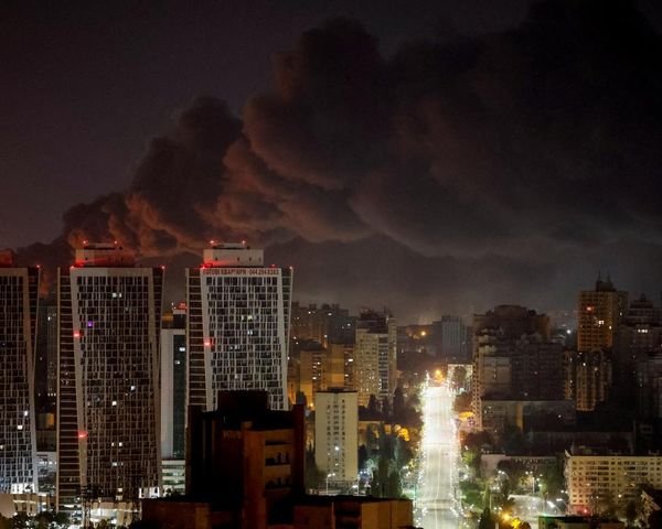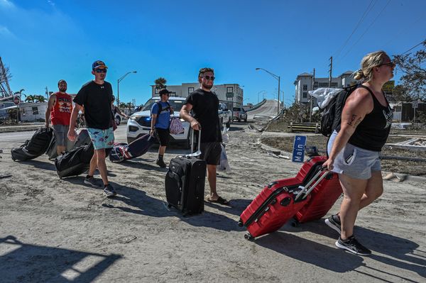

Tropical Cyclone Kirrily made landfall on the coast of Queensland on Thursday night (local time). Kirrily originated as a tropical low over the Coral Sea, and gradually intensified over several days. The tropical cyclone then quickly intensified on Thursday, reaching a category 2 system by 10am AEST, and category 3 by 3pm, producing gusts of 170 km/h (105mph). As Kirrily moved inland five hours later, it left more than 34,000 homes and business without power in Townsville. However, the cyclone was quickly downgraded back to a category 1 by midnight.
Earlier in the week, dense fog developed from Montana all the way south to the Gulf of Mexico, reducing visibility on Tuesday to less than a quarter mile for many. The combination of last week’s arctic blast, followed by the introduction of warmer air from the south this week, allowed water vapour to condense closer to the surface, which is also known as advection fog. Dense fog reappeared on Thursday morning, affecting just under 99 million people from North Dakota across to central Pennsylvania, and as far south as New Orleans.