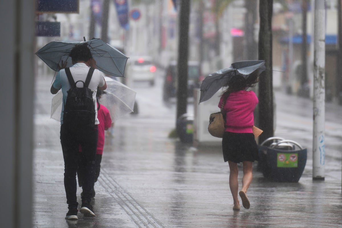
A weakened Tropical Storm Mawar was bringing heavy rains to Japan’s main southern islands after passing the Okinawan archipelago early Friday.
Residents in vulnerable areas were warned of the potential for flooding and mudslides. Strong winds continued on Okinawa and dozens of local flights were canceled for the day.
Formerly a super typhoon, Mawar had winds blowing up to 90 kph (56 mph) as it moved east of Okinoerabujima over the Pacific Ocean, the Japan Meteorological Agency said.
While wind damage was limited in Okinawa, warm and damp air from the tropical storm was intensifying seasonal rains, threatening flooding and mudslides, the meteorological agency said.
Up to 35 centimeters (1.1 feet) of rain was forecast over the next 24 hours through Saturday morning. The agency issued flooding and mudslide warnings in parts of southwestern Japan, cautioning residents near rivers and hillside to use caution.
Mawar largely skirted Taiwan and the Philippines after tearing across Guam last week. It sent waves crashing into Taiwan's east coast and brought heavy rains to the northern Philippines, though no major damage was reported.
Japan had deployed a number of PAC-3 land-to-air interceptors on southern islands for a North Korean rocket launch, but some of them were kept on base instead of being set up at intended locations due to safety precautions ahead of the typhoon. A launch Wednesday failed, but North Korea intends to try again.
The U.S. military, which has troops stationed at multiple facilities on Okinawa, was tracking the storm closely.
Mawar lashed Guam last week as the strongest typhoon to hit the U.S. Pacific territory in more than two decades, flipping cars, tearing off roofs and knocking out power.


