Magma flowed into the dike beneath Grindavík at an unprecedented rate of 261,000 cubic feet per second (7,400 cubic meters per second) before the volcano first erupted in Iceland's Reykjanes Peninsula, according to a new study.
"We were very surprised," lead author Freysteinn Sigmundsson, a geophysicist at the University of Iceland, told Live Science in an email. During the three previous eruptions in the region that took place between 2021 and 2023, magma flow into the dike was estimated to be less than 3,500 cubic feet per second (100 cubic m per second). "For the Grindavík dike it was almost 100 times higher," Sigmundsson said.
A 9.3-mile (15 kilometers) magma dike — a near-vertical tunnel running from the magma chamber beneath — formed beneath Grindavík in November, 2023,. At that point the region experienced a massive increase in seismic activity. Officials evacuated the fishing town, which has a population of around 3,800, given the risk of an eruption.
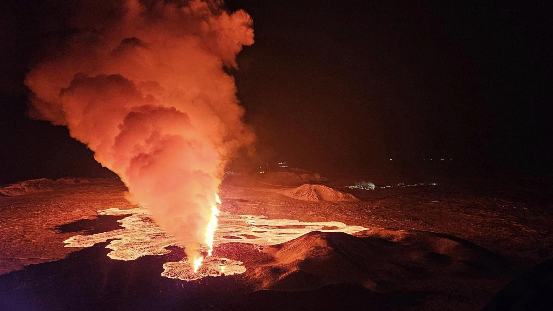
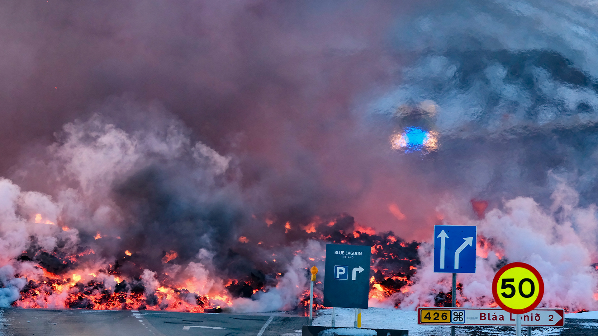
The volcano erupted on Dec. 18, with a 2.5-mile (4 km) fissure opening and sending lava spewing up to 100 feet (30 meters) into the air. The volcano erupted again on Jan 14., with two fissures opening on the outskirts of Grindavík. A third eruption occurred today (Feb. 8), with a 2-mile-long (3 km) fissure opening up near Mount Sundhnúkur to the north of Grindavík. The events are part of a millenia-long cycle that fuels eruptions.
Related: 'Time's finally up': Impending Iceland eruption is part of centuries-long volcanic pulse

In a new study published Feb. 8 in the journal Science, researchers examined the formation of the dike that led to the eruptions by combining satellite-based observations and seismic measurements, along with physical models. They found the magma flowed from the chamber into the dike at an exceptionally fast rate, comparable to the estimated rate of the 1783/84 eruption of Laki, which is around 130 miles (209 km) west of Grindavík . Within a year of the 8-month-long eruption, 60% of the country's livestock and 20% of the population died.
The Reykjanes Peninsula sits at the boundary of the Eurasian and North American tectonic plates. This section of the boundary has been stretching without any eruptions in the last 800 years. The Grindavík dike formed after magma accumulated about 3.1 miles (5 km) beneath the surface in what is known as a magma domain.
"A magma body is like an 'expanding balloon' inside the Earth, that can rupture," Sigmundsson said. The scientists found that the eruption took place with only modest overpressure — the amount of pressure that exceeds the surrounding pressure at that depth. This modest pressure alone could not have led to such immense speeds of magma flow.
"It means that other factors were important in explaining the fast magma flow — namely the forces due to the prior stretching of the crust (tension) as well as a large fracture on the boundary on the magma domain," Sigmundsson said. "The stretching forces contributed very significantly to the driving pressure for magma flow in the dike, causing the very fast flow."
Discovering such a high inflow rate of magma has implications for other volcanoes. A dike with a high inflow rate of magma is potentially more hazardous than those filling at lower speeds. But it's also important to place the fill rate in context of the geological setting, as this will help determine the likelihood of magma reaching the surface.
The ability of this chamber to fill so quickly also has implications for future hazards on the Reykjanes Peninsula — even areas not in the direct path of erupting magma.
"The consequences of extensive faulting and fracturing above the dike in Grindavík, showed how very destructive such events can be, even without an eruption," Sigmundsson said.


