Get all your news in one place.
100's of premium titles.
One app.
Start reading
The Conversation
The Conversation
Environment
Jennifer Raynor, Assistant Professor of Natural Resource Economics, University of Wisconsin-Madison

We used AI and satellite imagery to map ocean activities that take place out of sight, including fishing, shipping and energy development

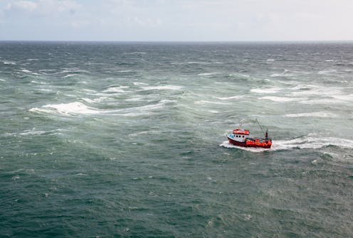
Many commercial fishing boats do not report their positions at sea or are not required to do so. Alex Walker via Getty Images

Humans are racing to harness the ocean’s vast potential to power global economic growth. Worldwide, ocean-based industries such as fishing, shipping and energy production generate at least US$1.5 trillion in economic activity each year and support 31 million jobs. This value has been increasing exponentially over the past 50 years and is expected to double by 2030.

Transparency in monitoring this “blue acceleration” is crucial to prevent environmental degradation, overexploitation of fisheries and marine resources, and lawless behavior such as illegal fishing and human trafficking. Open information also will make countries better able to manage vital ocean resources effectively. But the sheer size of the ocean has made tracking industrial activities at a broad scale impractical – until now.

Sign up to read this article
Read news from 100's of titles, curated specifically for you.
Already a member? Sign in here
Related Stories
Top stories on inkl right now
One subscription that gives you access to news from hundreds of sites
Already a member? Sign in here
Our Picks
Fourteen days free
Download the app
One app. One membership.
100+ trusted global sources.