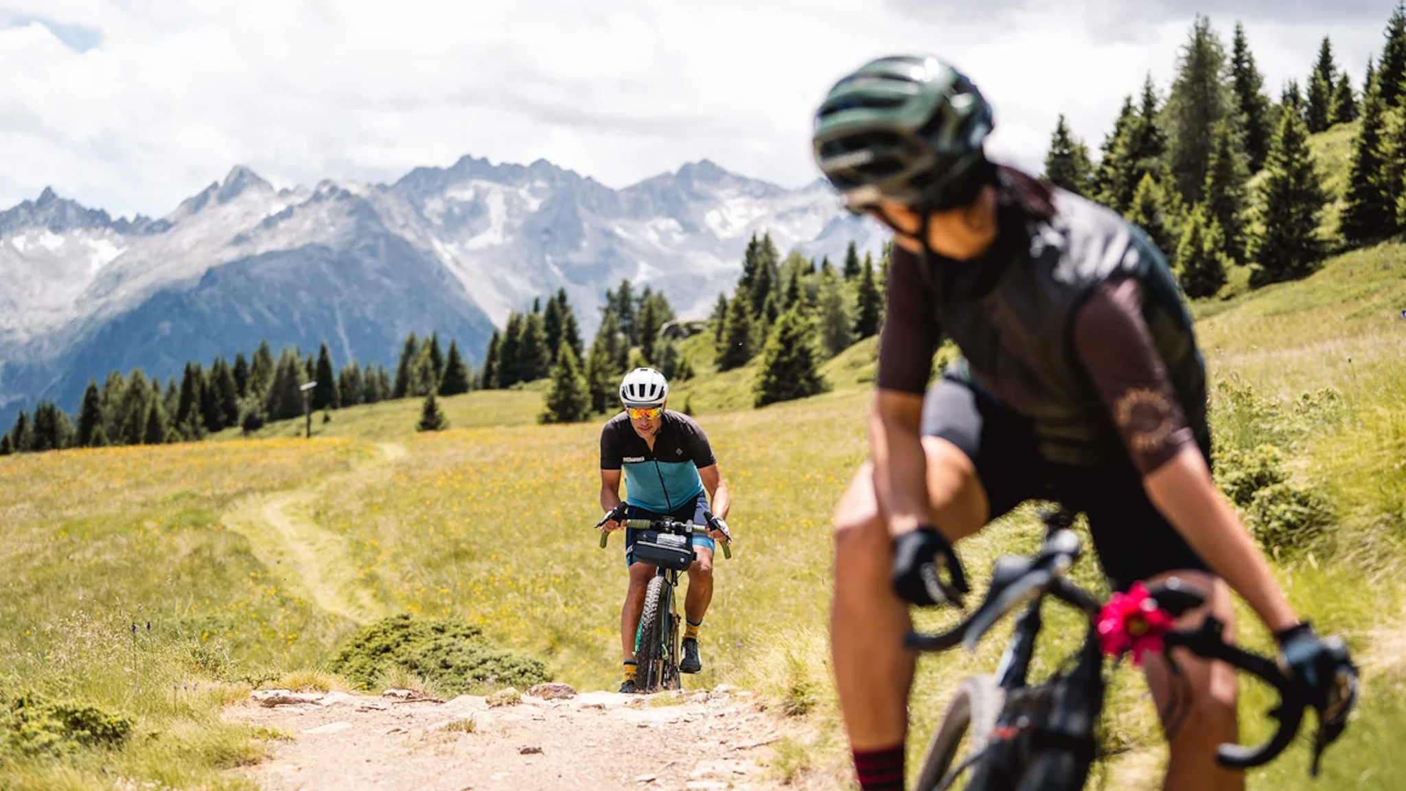
Summer is finally at the doorstep, and many of us are looking to make it the best one yet by planning the best bikepacking adventures. If you're looking for some UK inspiration, check out our recent feature on the best bikepacking routes in Scotland. However, if you don't fancy taking on the "variable' Scottish weather or the infamous midgie, then heading further afield with your gravel bike may be on your radar.
We recently featured The Maremma Challenge, a fantastic 500km bikepacking route in the hidden Tuscan region of Maremma, Italy. As a fan of all things Italian, we were keen to discover other exciting routes and encountered the newly launched Alpine Gravel Project. It has had us hunting out our passports and getting our best gravel bikes ready for some epic Italian gravel.
The Alpine Gravel Project is six brand new gravel routes based in the Italian capital of off-road cycling, Val di Sole. Home to three editions of the MTB World Championships and this year's venue for a round of both the XC and Downhill mountain bike World Cups.
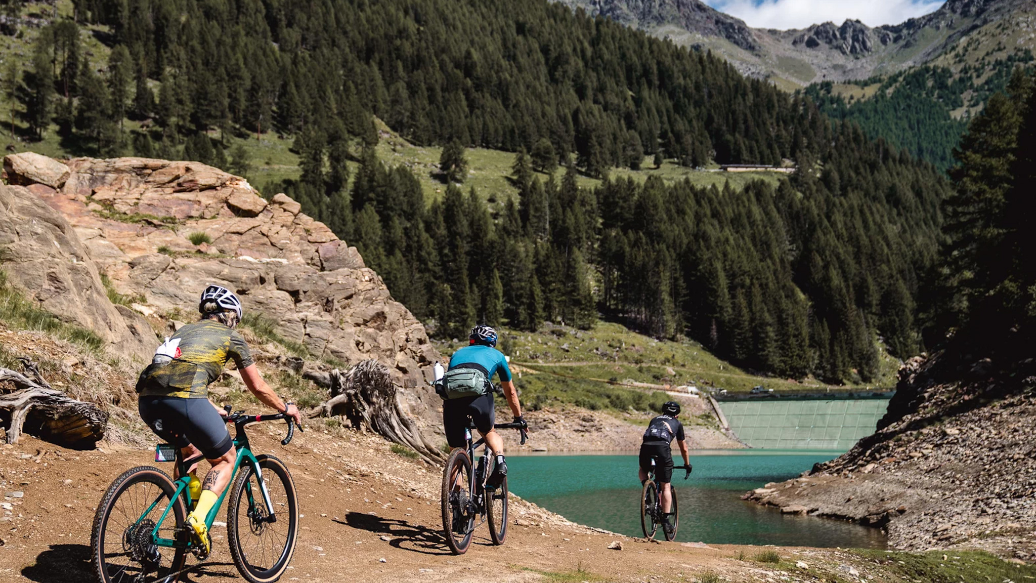
The Alpine Gravel Project has the bonus of the stunning and unique alpine backdrops of Val di Sole (Valley of the Sun). The six new routes have been carefully developed, tested, and approved by local gravel enthusiasts, and cater to all levels of riders, from beginners to experienced racers. Varying in distance and elevation gain, but all offering the thrill of discovering new trails and the rewards of the breathtaking Val di Sole landscapes.
They all start at various altitudes of between 650m and 2,200m, but are no longer than 60km in distance, with overall elevation gains of between 950m and 2,000m which makes for some leg-testing gravel climbs. All of the routes start from either the Mezzana, Dimaro, or Caldes train stations, which allows riders who choose to reach Val di Sole without transport to take advantage of the specific Bike Train and Bike Bus services departing from major surrounding cities. Although I've driven the road up from Milan a few years ago, it's a highly recommended drive or if you're feeling brave, get the bike out and ride a section from Trentino.
The six are named Celentino Lake, Tonale Pass, Monte Vigo, Lower Valley, Pejo, and Monte Peller. We had a look at what makes each one unique and what to expect.
Celentino Lake
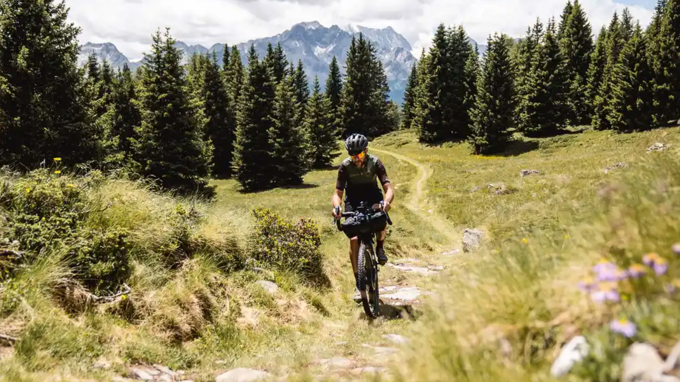
Starting in Ossana in the shadow of the alpine giant Mt. Presanella, this route is 45.5km with an elevation gain of 1,750m. Climbing straight away on a forest road to Malga Campo, which continues to the Celentino Lake on a flat forest road. From the lake, the path towards Malga Pozze reaches Malga Stabli on a well-maintained forest road. From Malga Stabli the descent begins, first on a bumpy dirt road, and then on a much smoother one, before getting on a tarmac road that leads back to the Val di Sole cycle path to Ossana.
Tonale Pass
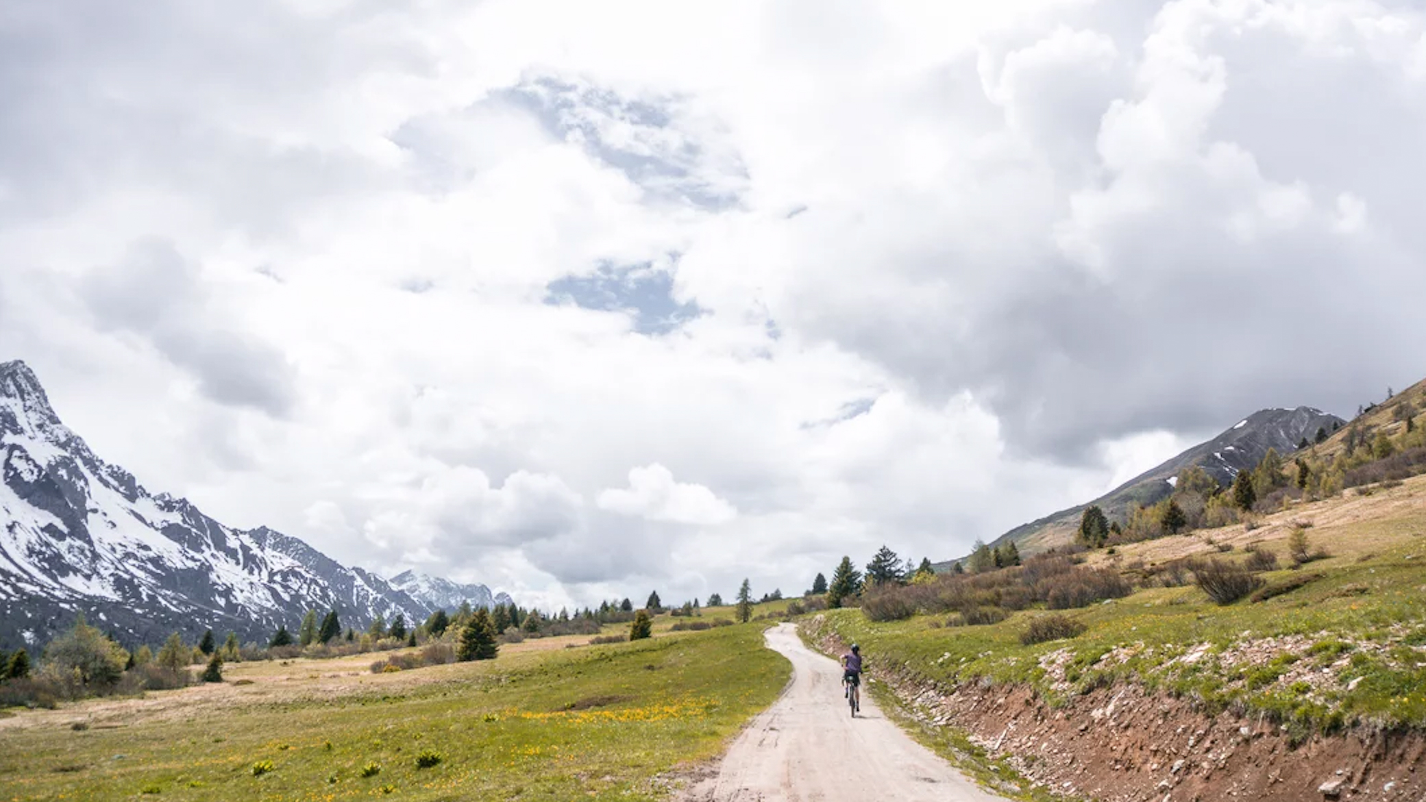
From the start in Mezzana, this route is 47.5km with 1,220m in elevation. Some technical riding skills are advised with uphill stretches on gravel, dirt, and forest roads alternating until the summit of Passo del Tonale. Traces of the First World War are scattered around this route for history lovers, in particular Forte Nero and Forte Zaccarana. After a well-deserved break and another short uphill section, the descent begins, featuring both fast technical and dirt road sections toward Ossana.
Monte Vigo
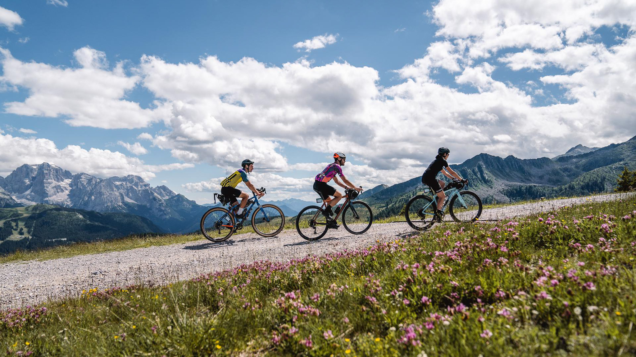
After departing from Dimaro, the ride heads towards the Val Meledrio with 47.6km in distance and climbing of around 1,700m. Immersed in the forest, the route features demanding climbs but without any real technical riding. The effort is rewarded with breathtaking views of small waterfalls, streams, and valleys. From Belvedere, in the Folgarida area, the climb continues to the summit of Monte Vigo, where the jaw-dropping views of the Brenta Dolomites can be admired. On the short, steep climbs, fitness will be tested and some are likely to opt for some hike a bike in a few segments. From the summit of Monte Vigo, a steep descent leads on to a gravel road to Lago dei Caprioli, before joining a paved road back to Ossana.
Lower Valley
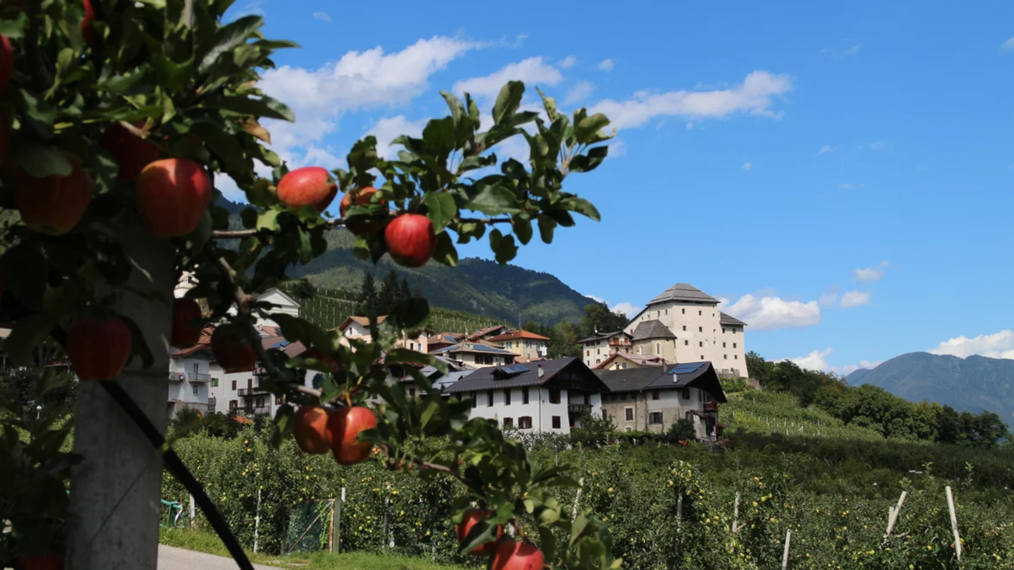
This route is advised for beginners to gravel or a rest day if you're taking on the six. Lower Valley is 49km with a reasonable 1000m of climbing. It is the least technical among the routes and runs halfway on the Val di Sole cycle path and halfway off-road, passing through towns, villages, and woods. The route begins from the Mezzana station and leads to Ossana along the cycle path, where the first descent is approached on some fast-flowing gravel sections. The next climb, from Daolasa through Costa Rotian, opens onto the charming views of the lower Val di Sole. From Dimaro the route is along forest roads until Cavizzana, the lowest point before rejoining the Val di Sole cycle path.
Pejo
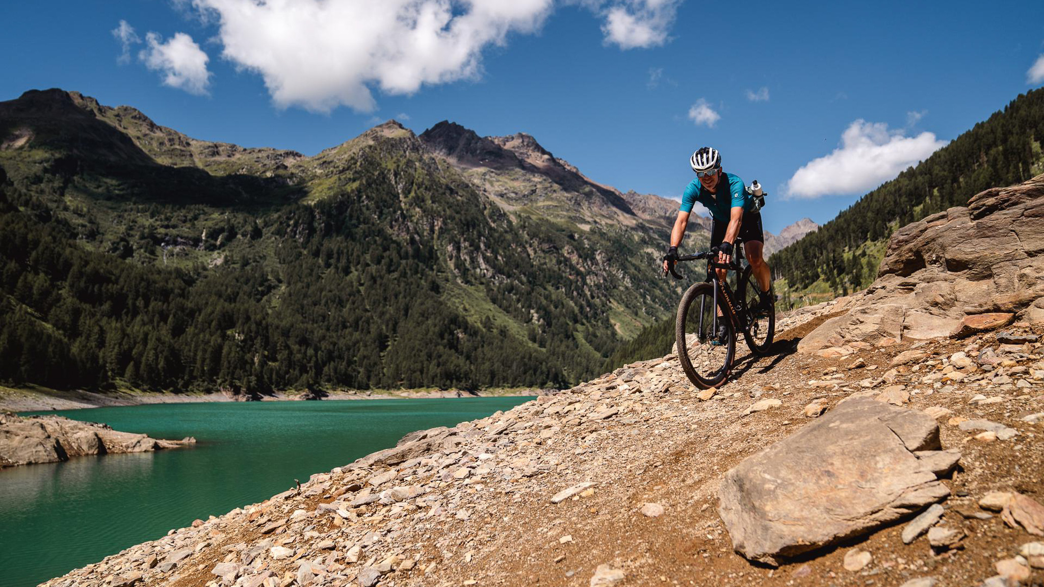
Things step up a level with the most challenging route that runs through the Pejo Valley, featuring 61.3km in distance and almost 2,000m of climbing. This route is literally breathtaking, both for its views and its climbs, including the Val de la Mare from which the southern peaks of the Ortles-Cevedale mountainss can be seen as a reward for your efforts. At the end of the valley, the route continues fast on dirt roads to Pejo village. After more climbing to reach Malga Covel, the fast descents begin on very technical paths and caution is advised. After crossing the stream, the trail skirts the mountainside where some hike a bike comes into play. After this technical passage, the route continues on an easier trail to Pian Palù Lake, which is characterized by its unique turquoise-blue-green color. After circling the lake, the route descends along the valley road to Pejo Fonti and the starting point.
Monte Peller
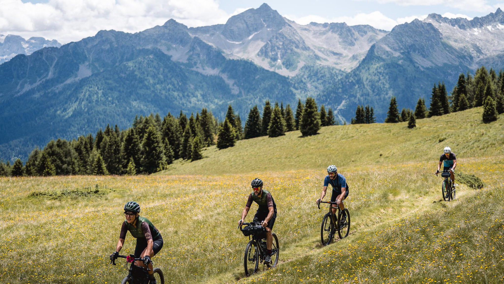
You hit the highest point of the six with the final route of Monte Peller finishing at nearly 2,100m, with 1,560m of climbing in just 36km. This route is challenging but rewards the effort with spectacular views. Starting at Caldes station, it takes riders through the Adamello Brenta Park passing through vineyards, before a long and steep gravel climb to the top of Mount Peller that may have you wishing you had stayed in the vineyards. However, the effort for this steep climb has its own rewards with the unique spectacle of the Brenta Dolomites whose peaks, one after the other, appear on the horizon. After reaching Malga Tassula, the descent proceeds swiftly down hairpin bends that cross a wooded path toward the end of the route.
If you choose to tackle just one route and then find your own path in the region, or take on the challenge of all the suggested routes, Visit Val di Sole is there to help plan your Italian gravel adventure, with contact details and more information at visitvaldisole.it. You can also download and preview the routes over at Komoot.com.


