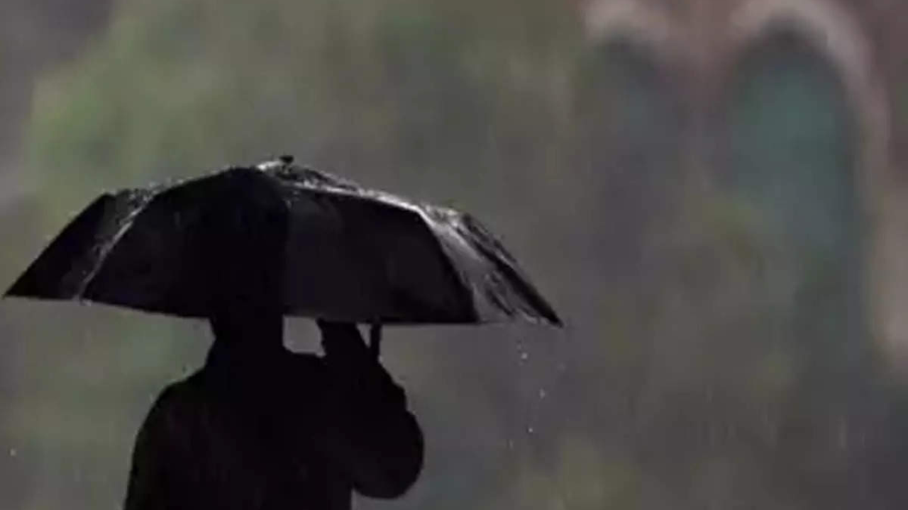
LUCKNOW: While light to moderate thundershowers were reported from several parts of the state in the past 24 hours, monsoon is expected to pick up pace from Thursday till Saturday.
State Met director JP Gupta said that the monsoon trough line is currently running south of its normal position towards UP. It is very likely to continue to shift gradually northwards during the next three days, leading to an increase in rainfall activity in UP from July 28 to July 30 in many parts of the state, including Lucknow, he added.
The monsoon trough is an elongated low pressure area and helps in precipitation. In its normal position, the trough is an elongated region of low atmospheric pressure that extends from Pakistan to Bay of Bengal running parallel to the Himalayas.
Met officials said that the rainfall will be more in the districts on Terai belt bordering Uttarakhand and Nepal. Moderate rainfall is expected in central, eastern and western parts of UP. However, rainfall activity will be low in areas bordering Madhya Pradesh and Rajasthan.
Monsoon arrived late in UP and remained weak thereafter. It revived last week, but total rainfall is still below expectation. Of 75 districts in the state, only Agra and Firozabad have received surplus rainfall in the season from June 1 till date. Varanasi, Chitrakhoot and Etah have recorded near normal rains. However, in 48 districts, rainfall has been 20%-49% below normal and in 24 districts, 50-80% below normal.
Overall, the rain deficit of UP is 53% below normal - East UP (-55) and West (-49). Lucknow has recorded 146.5mm rainfall so far, which 46% below normal of 273.5mm.