
The deadly bomb cyclone that has sent temperatures plunging in the US is also causing the UK to experience wet and windy weather, the Met Office said.
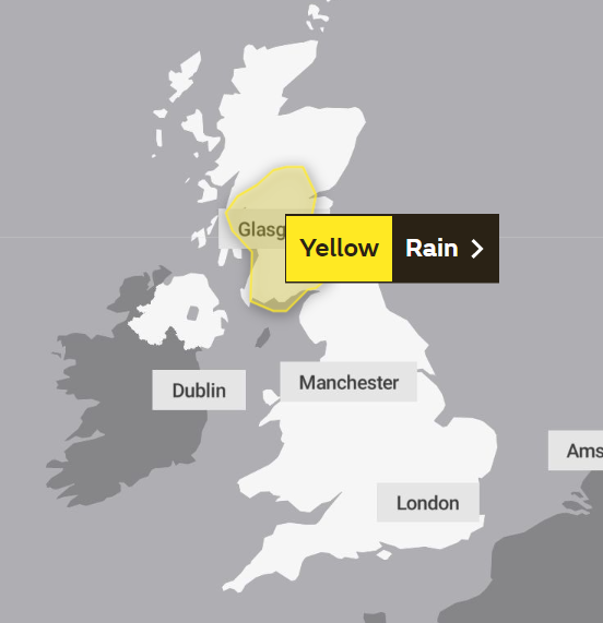
On Wednesday, the forecaster issued a yellow weather warning for heavy rain from 3am on Friday for 15 hours for much of Scotland, including Edinburgh, Glasgow and Stirling.
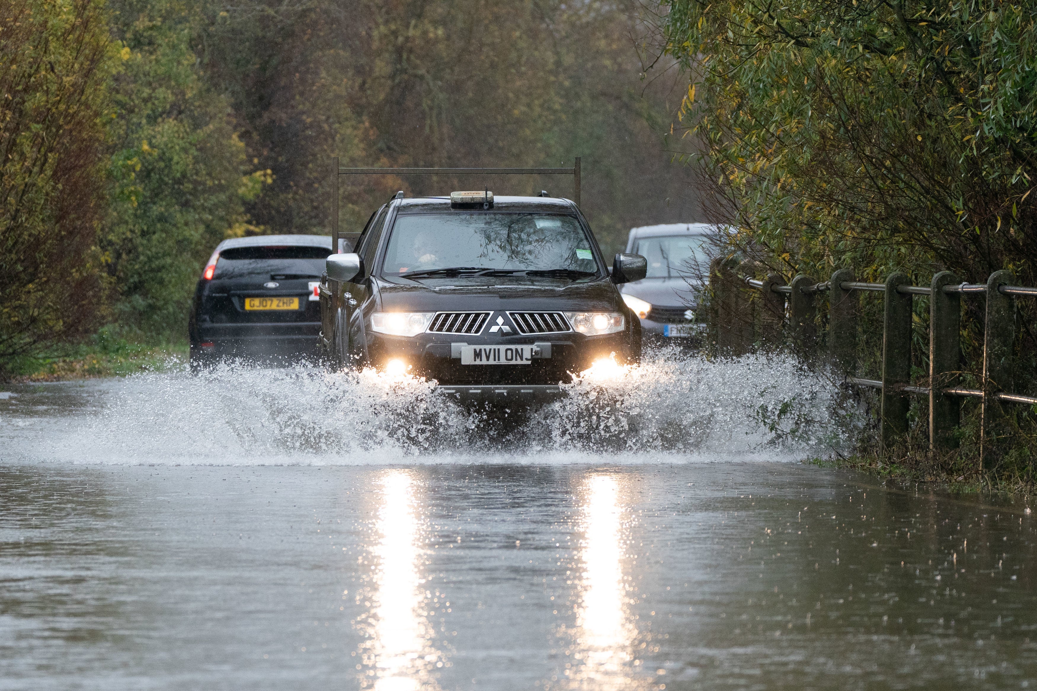
The Met Office said heavy rain could bring some flooding and travel disruption.
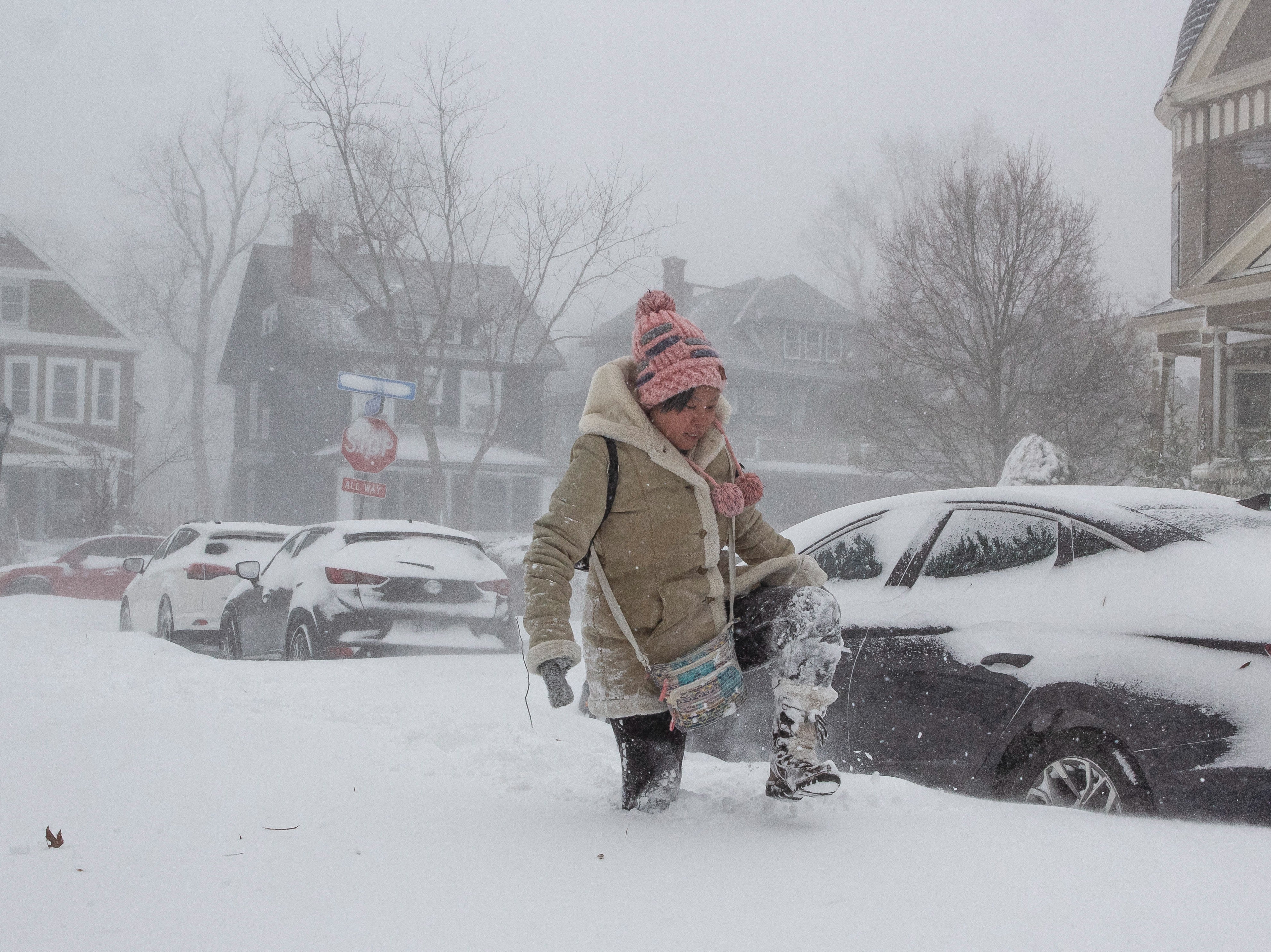
Meteorologist Simon Partridge said the wet and windy weather was being caused by the bomb cyclone in the US.
“The UK weather is going to remain unsettled with further spells of wet and windy weather due to the strengthening of the jet stream because of the weather in the US,” he said.
He said that the impact on the UK would be “nowhere near” as significant as it was on the US.
“The effect it’s having on the UK is nowhere near as dramatic because that system has brought up a lot of cold air further south, across the US,” he said.
Indeed, the cyclone is only having an effect on the UK due to its impact on the North Atlantic jet stream.
“What effect (the bomb cyclone) has had is to strengthen the jet stream because the jet stream is basically driven by temperature differences.
“So the starker the difference in temperature between the northern edge of it and southern edge, the stronger the jet stream becomes.”
He said the knock-on effect for the UK is spells of wet and windy weather over the next seven to 10 days.
“So the knock-on effect is that, like today, we had a spell of wet, windy weather – and there will be further spells of wet and windy weather,” he said.
It comes as the Met Office long-range forecast said snow could possibly be on the way in the north on both the highlands and lower levels.
The forecast for 2 to 11 January reads: “Further into the period, changeable conditions are expected to continue.
“With spells of strong winds for many, interspersed with colder more showery spells, some snow possible in the north, mainly over higher ground, but possible at lower levels.
“Temperatures likely staying mild in the south with a mixture of mild and colder spells in the north.”

Thursday is forecast to be colder than Wednesday, with sunshine and some heavy showers in northern Scotland and western England, as well as a risk of hail and thunder.
Mr Partridge said that Thursday will be a “cooler feeling day” but “still rather windy and with showers” across the UK, while Friday to Sunday is forecast to be unsettled, with snow over the Highlands, showers and rain in southern England, and frosts and fog overnight.
He added: “And then on Friday we’ll see another spell of wet, windy weather with milder temperatures and then similar sorts of patterns to that over the next few days.
“So the general sort of knock-on effect of the weather in the US is that in general the UK is going to be a little bit milder than it would normally be at this time of year.”
MET OFFICE OUTLOOK
Thursday
Rain across far north and northwest will turn more showery by afternoon, with some snow over high ground. Elsewhere, a windy day with a mixture of sunshine and showers, heavy in the west. Best of dry weather in the east.
Thursday night:
Clear spells and frost in north and east, with showers in coastal west. Strong winds and heavy rain moving northeast across western and northern areas, with snow over Scottish hills.
Friday:
Rain and strong winds clearing east, although persisting far north with increasing risk of snow over northern Highlands. Sunshine and a few showers following from west. Mild, except far north.
Saturday to Monday:
Unsettled and breezy with rain or showers this weekend. Some hill snow likely in Scotland. Drier and less windy on Monday. Mild in the south this weekend, otherwise rather cold.


