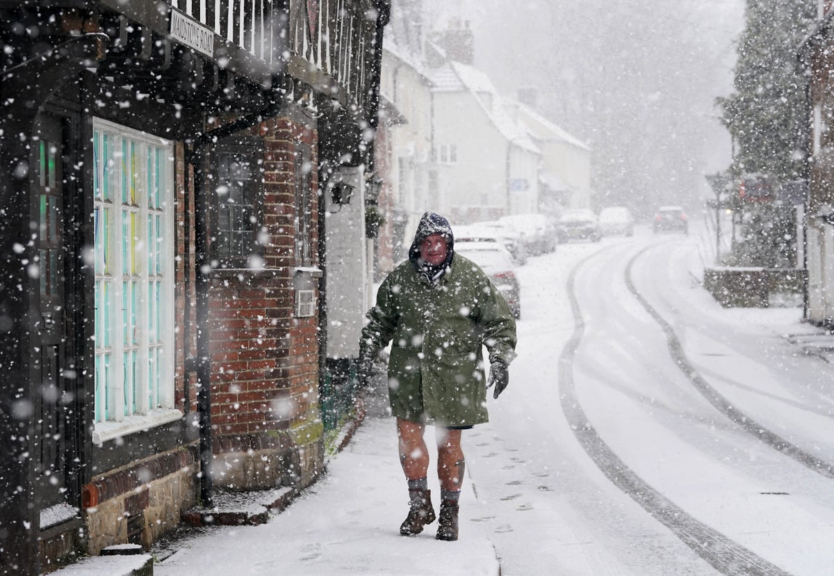
The Met Office has warned that disruptive snow could blanket parts of Britain this weekend as it issues warnings for an “Arctic airmass” that will sweep across the country.
The forecaster said a northerly airflow will bring cold Arctic air from Sunday and into early next week, with snow showers focused across northern areas of Scotland and Northern Ireland. The yellow warning states up to 10cm of snow could fall in just a few hours on Monday alone, and it has the potential to disrupt travel, cause injuries on ice and power cuts.
Temperatures across the country are set to drop over the weekend and into next week, with sub-zero lows of -2C on Tuesday.
A northerly airflow will bring arctic air to the UK from Sunday, with snow showers focused around Northern Ireland and northern areas of Scotland— (PA Wire)
RAC Breakdown said travel plans could be affected, with drivers advised to be prepared in the event of a breakdown during the snow and icy conditions.
The warning will come into place for northern Scotland at 12am on Sunday followed by another in Northern Ireland 24 hours later. Both will remain in place until 11:59pm on Monday.
The Met Office’s Monday warning for Scotland states: “Frequent snow showers will continue to affect northern Scotland through Monday. A spell of strong northerly winds affecting the Northern Isles and northeast Scotland during the day will also result in drifting of lying snow in places.
“Whilst accumulations will vary due to the nature of showers, 2-5 cm of snow is expected in many places. Where showers become more organised, there is a chance some low-lying areas could see 10 cm in a few hours.”
Monday’s weather warnings cover Scotland and Northern Ireland but it will be cold across the UK— (Met Office )
Upto 5cm of snow is expected in Northern Island as the Met Office warned: “Brisk northerly winds will drive showers well inland across Northern Ireland on Monday, with these initially falling as snow over higher ground and sleet and rain elsewhere.
“However, as increasingly cold air spreads south, showers will fall as snow to all levels by late morning. Up to 5 cm of snow is likely over higher routes such as the Coleraine Mountain road and Glenshane Pass.
“At lower levels, a few cms can be expected, with northern counties expected to see the more frequent showers. Ice will be an additional hazard for all areas into the evening.”
Deputy chief meteorologist David Hayter said a northerly airflow will bring arctic air to the UK from Sunday, with snow showers focused around Northern Ireland and northern areas of Scotland.
Met Office weather forecast for Tuesday 16 January as temperatures plunge below zero— (Met Office)
“While the initial snow risk from Sunday onwards is looking most likely to be coastal areas in the north of the UK, including North Sea and Irish Sea coasts, there’s an ongoing likelihood of some disruptive snow through the middle to latter part of next week,” Mr Hayter said.
“What we’re keeping an eye on for this disruptive snow is where exactly this milder air from the southwest bumps into the cold air that will be in place over the UK.
“It’s where these airmasses meet that there’s a likelihood of some substantial snow for some places.
“At the moment, models are showing us a variety of options for exactly when and how this situation plays out and it’s something we’ll be able to add more details to in the coming days.”
The UK Health Security Agency (UKHSA) has a cold-health alert in force, warning of the weather’s potential to have a “significant” impact on the health and social care sector.
Dr Agostinho Sousa, head of extreme events and health protection at UKHSA said it was “vital” to check in on friends, family and neighbours.
“The temperatures we will see leading into the weekend can rapidly have a serious impact on the health of those over the age of 65 and those with pre-existing health conditions as it increases the risk of heart attacks, strokes and chest infections,” he said.
RAC Breakdown spokesperson Simon Williams said: “With an increasing risk of snow and ice at the start of next week we urge drivers to make sure they travel fully prepared. Having a few essential items in the boot – no matter what distance you’re going – can make a massive difference in a breakdown situation in freezing conditions. A warm, waterproof coat, sturdy footwear and gloves, along with a blanket and a power bank to keep your phone charged are vital.
“While no one sets out to breakdown or get stuck in very cold, potentially snowy conditions, there are far too many instances where drivers have underestimated the severity of the conditions and found themselves in danger. It’s far better to prepare for the worse and hope for the best.”


