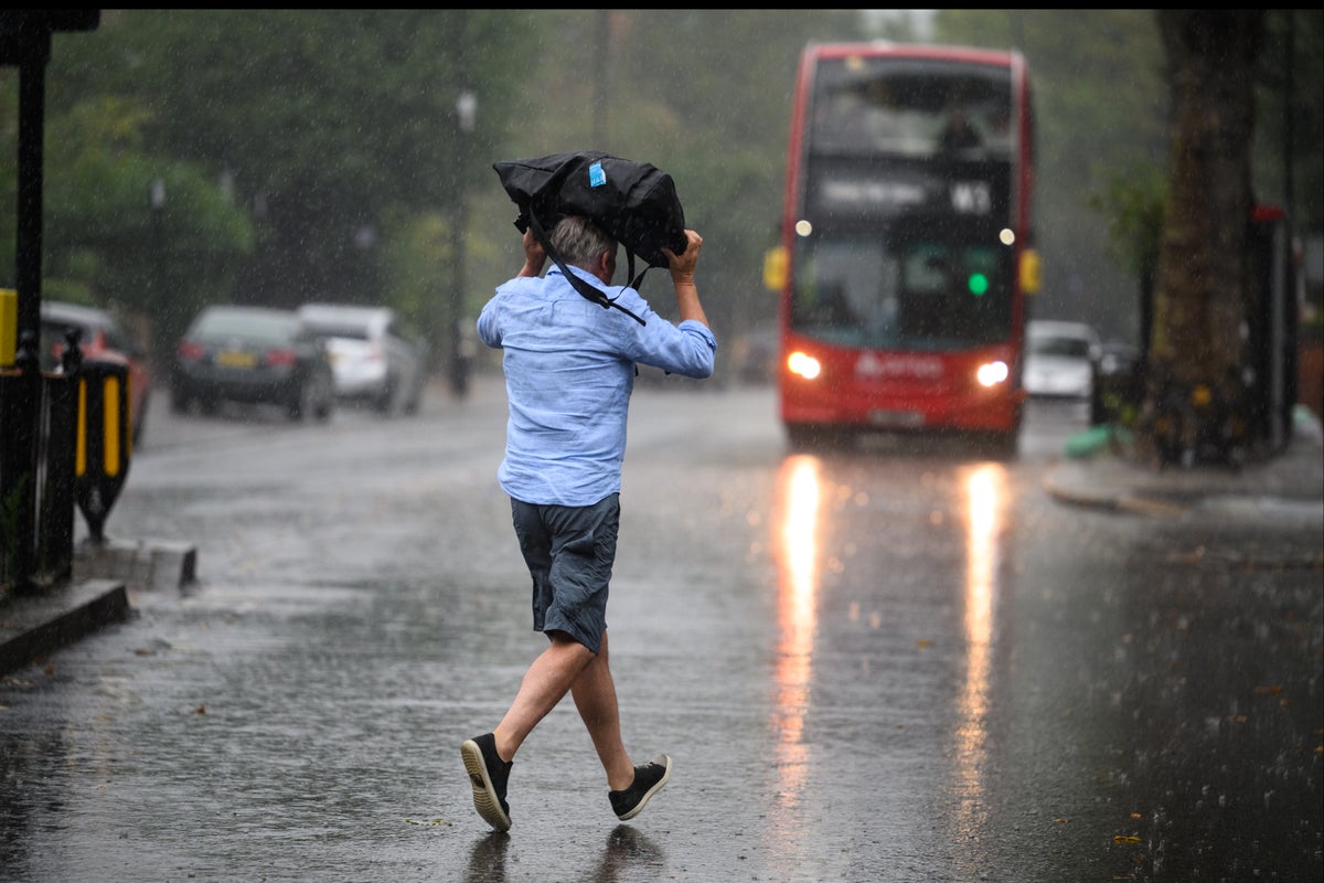
The Met Office has issued a new weather warning for swathes of England and Wales, as forecasters warned of a “heavy, persistent and perhaps thundery” washout.
The yellow alert comes into force at midnight on Sunday and warns that the heavy rain poses a “risk of disruption to transport and infrastructure”, with the potential for flooding to damage buildings.
Most areas should expect 20-40mm of rain, but some parts could see up to 80mm – close to the UK average for the entire month of August, which sits at 93mm, according to the Met Office.
The warning is in force for 21 hours on Monday— (Met Office)
Forecasters warned of the small chance that some communities could be temporarily cut off by flooded roads and that homes and businesses could suffer power cuts and the loss of other services.
Spray and flooding are likely to lead to some difficult driving conditions and road closures, with the risk of delays and cancellations to train and bus services, the Met Office said.
Neither England’s Environment Agency nor Natural Resources Wales had so far issued any flood warnings or alerts, as of midday on Sunday.
Temperatures should also remain between 18C and 23C in what will be “overall an unsettled day”, said Met Office forecaster Greg Dewhurst.
But the warning for rain is in force until 9pm on Monday, and spans from the Scottish border to Manchester, York, Leeds and Scarborough, while also covering much of Wales, excluding Cardiff and other parts of the country’s southeast.
A surfer next to Brighton’s Palace Pier as Storm Antoni hit the UK last week— (AFP/Getty)
However, after a considerably damper July than the record-breaking heat experienced last year, and the arrival of the UK’s first named storm of the year in August, along with 78mph winds, some rather more favourable summer weather does lie on the horizon.
Conditions in England and Wales are expected to improve through next week – with increasingly pleasant sunny spells and fewer showers, according to the Met Office.
The mercury could hit about 32C by Friday in the southeast, meteorologists predict – at least 6C higher than the temperature forecast for the same day in Los Angeles.
“We are looking at the possibility of reaching the low thirties later in the week, most likely on Friday, probably in and around London, running into East Anglia and other parts of the south and east,” Met Office forecaster Dan Stroud said on Saturday.
“We’ve got high pressure building from the middle of the week and that will tap into some tropical continental air, which will draw up some very warm, locally hot air that will allow temperatures to climb steadily,” Mr Stroud said.
“By the time we get into Friday and maybe into Saturday we stand a chance of breaking into the thirties.”
The spell of sunny, very warm to hot weather is likely to continue till 26 August, according to the Met Office’s longer-term forecast.
Additional reporting by PA


