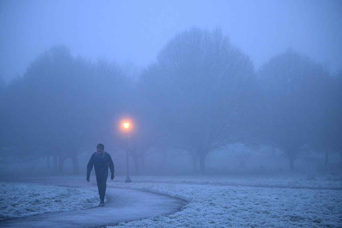
Many regions in the UK can expect cloudy conditions to continue on Thursday with chances of frost and snow increasing for the coming days in March before spring.
Short-range forecasts suggest scattered showers in northern areas while some regions in southern and western England can expect some sunshine.
Temperatures are set to remain lower than average in the coming days, with north east Scotland likely to get colder over the weekend with the possibility of wintry showers.
The start of next week will see winds from the north bringing cold conditions to most areas in the UK, the forecaster said, amid previous “Beast from the East” warnings for early March.
In the long-range forecast, the Met Office says northern and eastern areas are likely to experience wintry showers, which may turn into more organised bands of snow at times.
The rest of the country is expected to remain dry with some sunshine, with the best chance of this in inland areas and in the south and west of the UK.
Towards mid March, there is a chance of milder and wetter weather from the Atlantic pushing into the south, bringing spells of rain across the country as mercury may begin to gradually trend up as the country moves closer to spring.
The later half of March is expected to be drier further north, apart from occasional late-season wintry showers, while rain and strong winds are likely in the south.
The milder conditions may extend north at times, but it is likely that the cold weather will then extend south to all parts through late March, bringing drier conditions to many western regions, the forecaster said.


