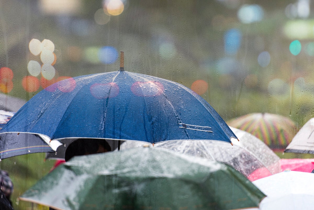
Highs of 23C are expected over the Bank Holiday weekend with heavy showers either side of the Queen’s Platinum Jubilee as Britons look forward to mixed weather during their celebrations.
According to the Met Office, periods of wet weather will feature in the Jubilee weekend with warmer spells interspersed. Showers are expected in west England on Wednesday and are likely to spread more widely through the day.
However, from Thursday most of the UK can expect warmer, finer and drier conditionswith highs of 22C in the south east. Meanwhile, northwestern areas, Northern Ireland and western Scotland will still see some showers on Thursday.
The wet weather will follow into Friday across Northern Ireland, Wales and southwest England but temperatures in the southeast are expected to climb to 23C.
Saturday’s weather is still uncertain due to a plume of warm air from the continent that could influence showers in southern areas from Friday night onwards.

The main source of uncertainty is how far north this plume of warm air will extend, bringing with it an increased risk of some showery outbreaks through the weekend.
Met Office Deputy Chief Meteorologist Helen Caughey said: “While it may be an unsettled start to the long weekend for some with showers for Northern Ireland, Wales and western England, many parts will see much more settled conditions over the long Jubilee Weekend, with plenty of dry weather and good spells of sunshine.
“Temperatures will be widely into the low 20s, feeling warmer in the sunshine, although temperatures will drop off quickly into the evenings.
“The main source of uncertainty for the weekend itself is to do with how far a plume of warm air, currently across the continent, encroaches over southern areas of the UK from late on Friday.
“The latest outlook suggests that this plume of warm air could bring a spell of showers to southern areas overnight on Friday and into early Saturday, with some showers hanging around for a time on Saturday. Further showers are likely for southern areas on Sunday, perhaps the odd heavy one, most likely at this stage for the far southeast.
Ms Caughey added that the plume of air could bring showers into Saturday with heavy showers expected in the southeast.
“Northern Ireland, Scotland and northern England look like they’ll see the driest conditions from Friday onwards most likely enjoying some prolonged periods of sunshine,” Ms Caughey added.
The weather seems to be split between cooler drier weather in the north and warmer weather in the south with periods of showers to close out the Jubilee weekend.
MET OFFICE OUTLOOK
Today:
Cloud and outbreaks of rain across Wales and west Midlands turning showery this morning. Some heavy showers developing across the eastern half of England but drier further north and west with sunny spells. Feeling warmer with light winds.
Tonight:
Any showers quickly dying out with long clear spells and becoming rather chilly. Areas of fog are likely to develop across parts of eastern England overnight and locally elsewhere.
Thursday:
Cloud and outbreaks of rain moving gradually east across Northern Ireland. Sunny spells and warm sunshine elsewhere, although a few isolated showers may develop across Scotland in the afternoon.
Outlook for Friday to Sunday:
Showers in the west, but drier in the east on Friday. The weekend will be fine and dry in the north, but cloudier in the south with some heavy showers.


