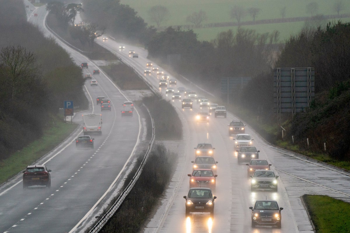
The UK is set for wetter weather this week as showers are forecast to batter parts of the country following the record-breaking heatwave.
The Met Office has issued a yellow weather warning for rain across Scotland and Northern Ireland for Sunday alerting possible flood risks disrupting transport and causing damage to homes and businesses.
“Early showers, some heavy, over Northern Ireland will give way to some more persistent rain, again heavy and perhaps thundery at times, later this morning and afternoon,” the Met Office said.
“Over Northern Ireland 10-20 mm of rain is likely to fall in some places. Over Scotland, rain is likely to be heavier with 20-30 mm likely for some parts and as much as 30-50 mm rain in a few spots.”
BBC weather forecaster Chris Fawkes added: “Sunday there is more rain in the forecast, this time there is better prospects of seeing some wetter weather moving into south Wales and of course that is one of the areas that has been particularly dry this month.

“The heaviest rain will again be affecting Scotland and Northern Ireland, notice little if anything across central and eastern England. Temperatures a little higher on Sunday feeling a bit more humid, temperatures widely getting up to 20C-23C however, across parts of eastern England it is a hot one, temperatures 26C to even 30C in parts of East Anglia.”
Chief Met Office meteorologist Paul Davies said this week that another heatwave later in the summer couldn’t be ruled out.
Speaking to Sky News, Mr Davies said: “When we look to the future in terms of the next week, there is an easier time because in fact, the temperatures start to ease back to what we describe as slightly above normal from about Wednesday onwards.
“But as we move into all this, you just can’t rule out another plume.”

UK 5 day weather forecast
Unsettled for many and hot in the south-east.
Today:
Unsettled and rather cloudy across Scotland and Northern Ireland with showers or longer spells of rain, heavy at times, with a risk of thunder. Some rain at times for parts of England and Wales, but south-eastern UK hot and brighter.
Tonight:
Further showers or rain at times for many areas this evening and overnight, heaviest rain becoming mainly confined to northern Scotland. Another warm night in the south-east.
Monday:
Breezy and changeable with a mixture of cloud, bright or sunny spells and some showers. Heaviest showers probably over southern Scotland and northern and eastern England. Less warm than Sunday.
Outlook for Tuesday to Thursday:
Many places remaining dry and settled with bright or sunny spells and a few isolated showers each day. Temperatures around average with some cooler nights than of late


