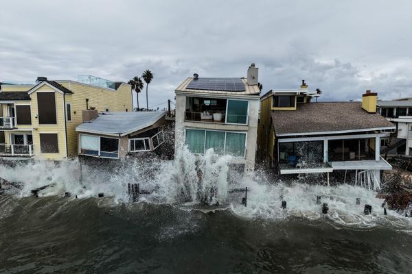
The U.S. East Coast is currently experiencing a volatile weather pattern characterized by rainy, windy conditions, and the potential development of a bomb cyclone. Western Maine, in particular, is expected to face freezing rain, heavy downpours, unusually high temperatures, and damaging winds within a short timeframe. The National Weather Service forecasts that these adverse weather conditions will persist until Wednesday night, with the possibility of flooding in certain areas.
The impending storm is being fueled by an atmospheric river, a long band of water vapor that can transport moisture from tropical regions to more northern areas. This atmospheric phenomenon is expected to draw moisture from the Atlantic Ocean off the U.S. Southeast coast and transport it to states like Maine. Meteorologists are anticipating a 'multifaceted storm' that could bring two to three inches of rainfall to some regions.