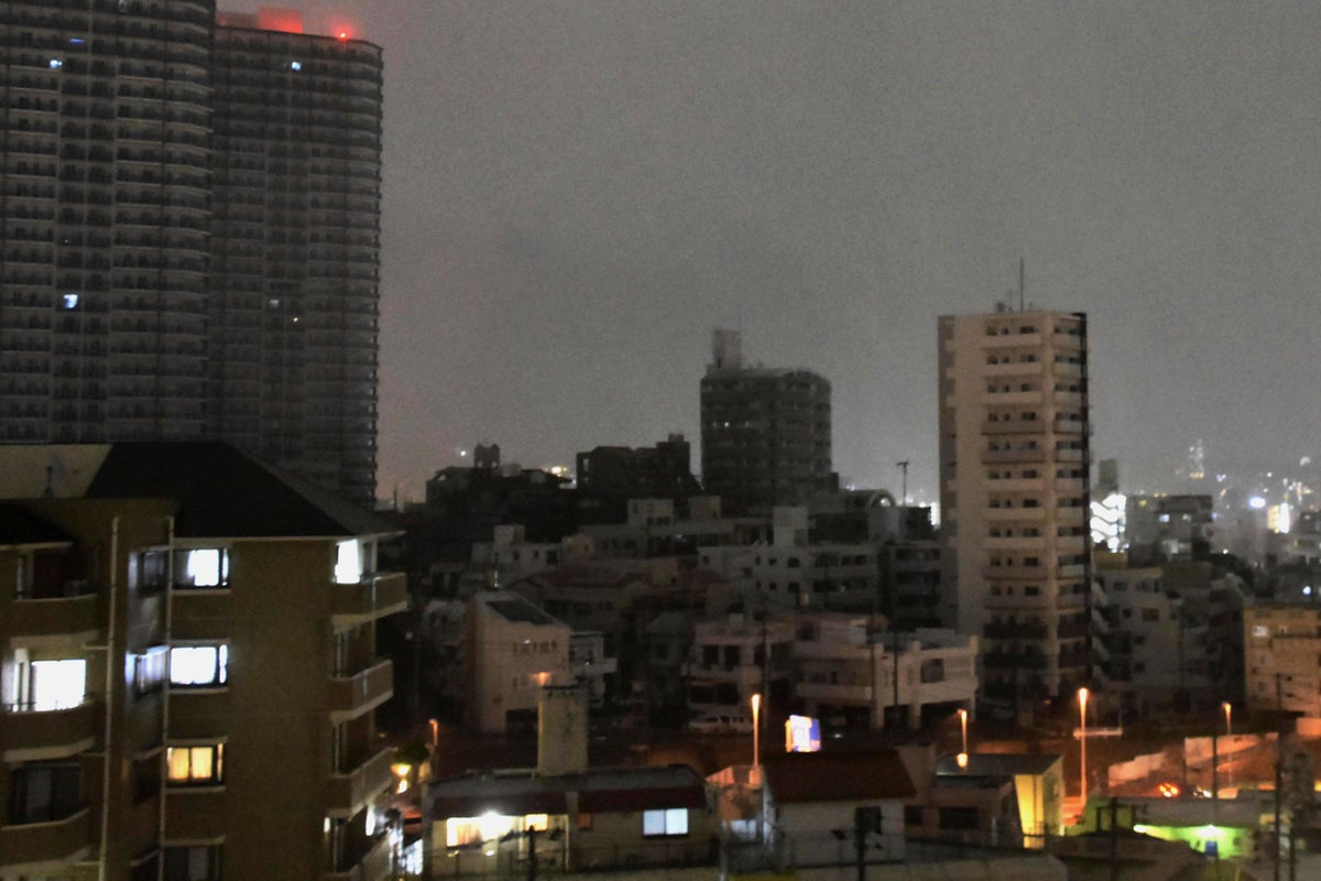
The typhoon that damaged homes and knocked out power on Okinawa and other Japanese islands this week was slowly moving west Thursday but is forecast to make a U-turn and dump even more rain on the archipelago.
Typhoon Khanun, now in the waters between China and Japan's southwestern islands, is expected to slow to nearly stationary movement before a weakening high pressure system nearby allows it to turn east Friday, the Japan Meteorological Agency said.
That forecast would spare China, where rain from an earlier typhoon caused deadly flooding and damage this week around the capital, Beijing.
Khanun, which means jackfruit in Thai, had sustained surface winds of 162 kph (100 mph) with higher gusts Thursday morning. Up to 20 centimeters (7.8 inches) of rainfall were expected in the Okinawa region by midday Friday, JMA said.
The storm has injured 41 people, three of them seriously, according to the Okinawa prefectural government. A 90-year-old man was found under a collapsed garage in Ogimi village, and his death is being investigated as possibly caused by the typhoon's high winds.
The storm at one point left nearly 220,000 homes, or about 30%, of those in Okinawa, without power, according to the Okinawa Electric Power Company. Also, some 7,000 homes on Amami, an island northeast of the Okinawan islands and part of Kagoshima prefecture, were without power, according to the Economy and Industry Ministry.
Most were still without power Thursday as the storm hampered restoration work. Hospitals that lost power were only receiving emergency cases.
Wind warnings for the main Okinawa Island were lifted Thursday, though moderate winds and rain were affecting the island. Public transit systems that closed during the storm resumed operations, and some flights in and out of the Naha airport are expected to resume later Thursday.


