
QUICK FACTS
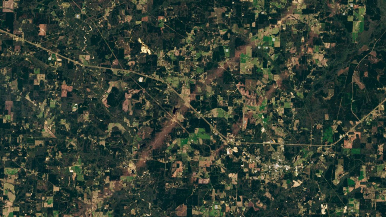
Where is it? Tylertown, Mississippi [31.140899624, -90.17186140]
What's in the photo? A pair of parallel tracks carved out by tornadoes during a major storm
Which satellite took the photo? Landsat 8
When was it taken? March 22, 2025
This striking satellite image shows two near-perfectly parallel tornado tracks in Mississippi that were carved into the ground after a deadly storm system triggered more than 100 twisters across the U.S. in early 2025.