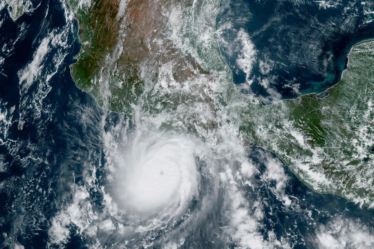
Tropical Storm Otis strengthened to a hurricane Tuesday as it approached Mexico’s southern Pacific coast where it was forecast to make landfall near the resort of Acapulco late Tuesday or early Wednesday.
The U.S. National Hurricane Center said that Otis was about 145 miles (235 kilometers) south-southeast of Acapulco on Tuesday with winds of 80 mph (130 kph). It was moving north-northwest at 7 mph (11 kph).
There was a hurricane warning in effect from Punta Maldonado to Zihuatanejo.
Otis was expected to dump five to 10 inches of rain on the southern state of Guerrero with as much as 15 inches possible in some areas. That raised the possibility of mudslides in Guerrero’s steep mountainous terrain.
In the Atlantic, Hurricane Tammy continued moving northeastward over open water with winds of 75 mph (120 kph) after sweeping through the Lesser Antilles over the weekend. Tammy was located about 580 miles (935 kilometers) south-southeast of Bermuda. The storm was expected to weaken by Thursday, according to the U.S. National Hurricane Center.
____
Follow AP’s climate coverage at: https://apnews.com/hub/climate-and-environment


