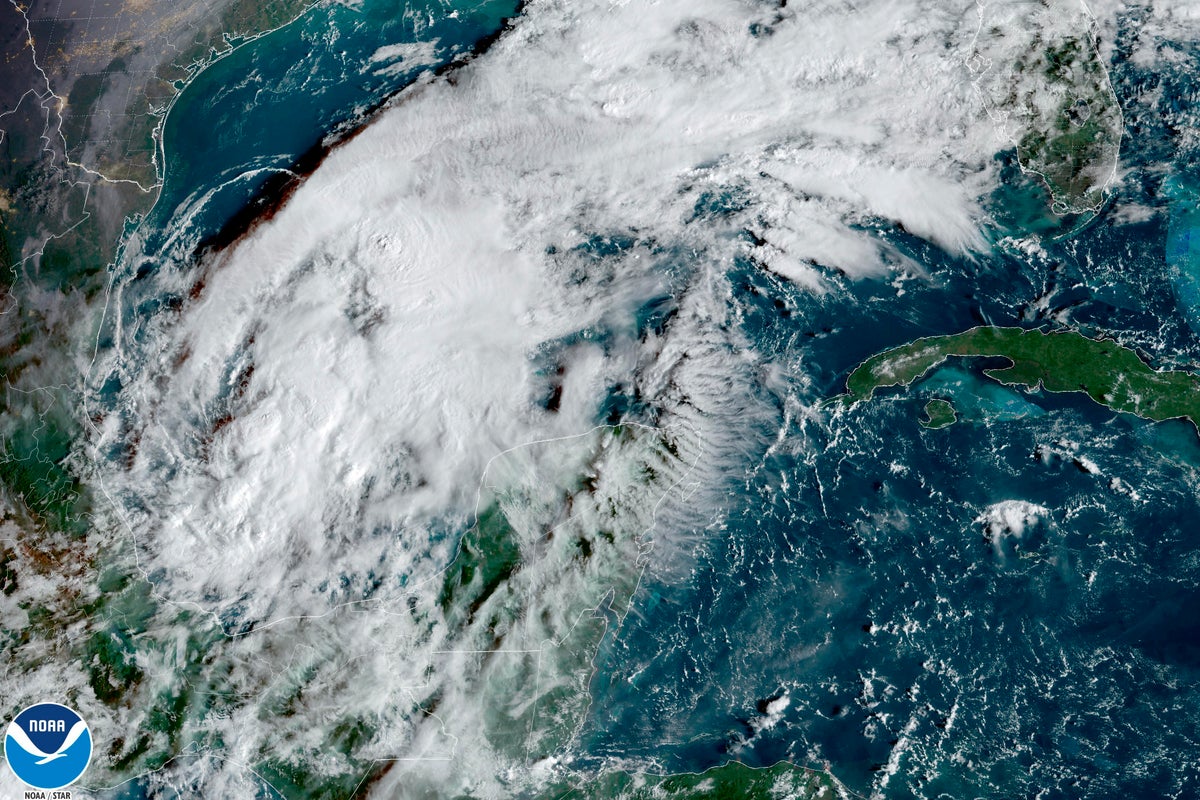
Tropical Storm Karl's forward movement stalled off Mexico’s southern Gulf coast, though forecasters said the halt should be brief and expect it to begin moving southward toward land early Thursday.
The storm had been heading slowly to the north before weather conditions steered it around Wednesday night. It was expected to be nearing the coasts of Veracruz or Tabasco states by late Friday without strengthening into a hurricane.
The U.S. National Hurricane Center said Karl had maximum sustained winds of 60 mph (95 kph) late Wednesday. It was stationary, still centered about 255 miles (405 kilometers) north-northeast of the port city of Veracruz.
Tropical storm-force winds extended outward up to 105 miles (165 kilometers) from the center.
The hurricane center said Karl could drop 3 to 7 inches (8 to 18 centimeters) of rain across portions of Veracruz and Tabasco from Friday into late Saturday. It said as much as 12 inches (30 centimeters) could fall in isolated spots.
Karl formed one day after former Hurricane Julia dissipated in the Pacific after having directly or indirectly caused the deaths of at least 28 people in Central America and Mexico following its landfall on Nicaragua's Caribbean coast.


