Rutherford was pelted with hail for a solid 10 minutes Wednesday afternoon - some stones as large as 20 cent pieces - as thunderstorms bore down on the Hunter from the south, west and north.
Residents scurried to cover exposed vehicles with blankets and towels as the storm cut a hasty path towards the east and Newcastle. And while the storm passed relatively quickly, heavy rain caused some flash flooding in backyards.
Forecasters warned early in the afternoon that a trough extending across inland parts of the state was meeting a mass of unstable air resulting in cooler conditions and the near certain possibility of rain.
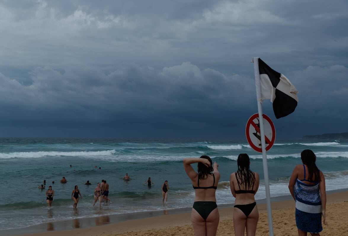
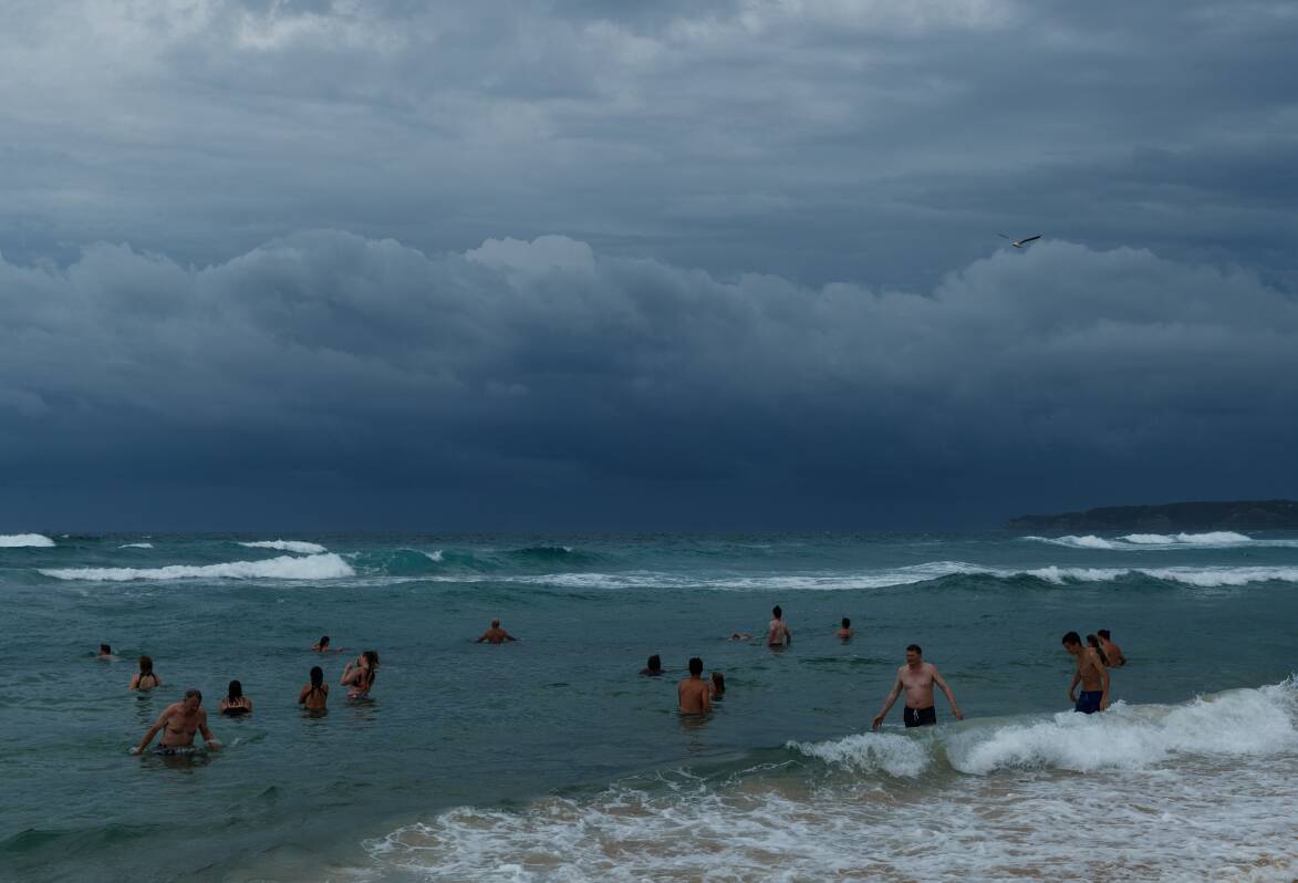

Temperatures were expected to peak in Newcastle just above 30 degrees, with southeasterly winds, but forecasters warned the possibility of hail in parts of the region could be imminent and heavy falls that could lead to flash flooding as the situation deteriorated.
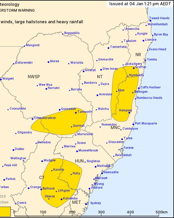
Tamworth, and towns to the north and south of the Hunter were among those in immediate threat, the Bureau of Meteorology warned Wednesday afternoon, as the weather moved across the southern parts of the Hunter around Putty toward Lake Macqaurie, and a second system drifted east through the southern end of the North West Slopes and Plains.
"In the wake of this trough, a ridge of high pressure will develop, maintaining showery and slightly cooler conditions in the east for the coming week," forecasters had advised.
Meanwhile, a deep low pressure system over the Tasman Sea will weaken and drift south over the next day or so.

Cloudy conditions are expected to dominate the rest of the week in Newcastle as temperatures fall to the low 20s.
Choppy surf conditions continued Wednesday after a calmer start, as the set picked up to between five and six foot in the afternoon, with forecasters advising the conditions were best for experienced surfers.


