The famous Augusta National Golf Club is one of the most revered courses in the world. The Masters venue is a favourite amongst golf fans, with many avid and long-time watchers knowing each hole just as well as we know the holes at our local courses.
But how well do you actually know the property? Do you know where the clubhouse is? Where Amen Corner lies? Where the Par 3 course is?
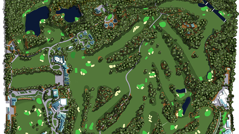
Check out this superb illustration from a birds-eye view and see if you can map out the holes yourself...
Augusta National Course Map

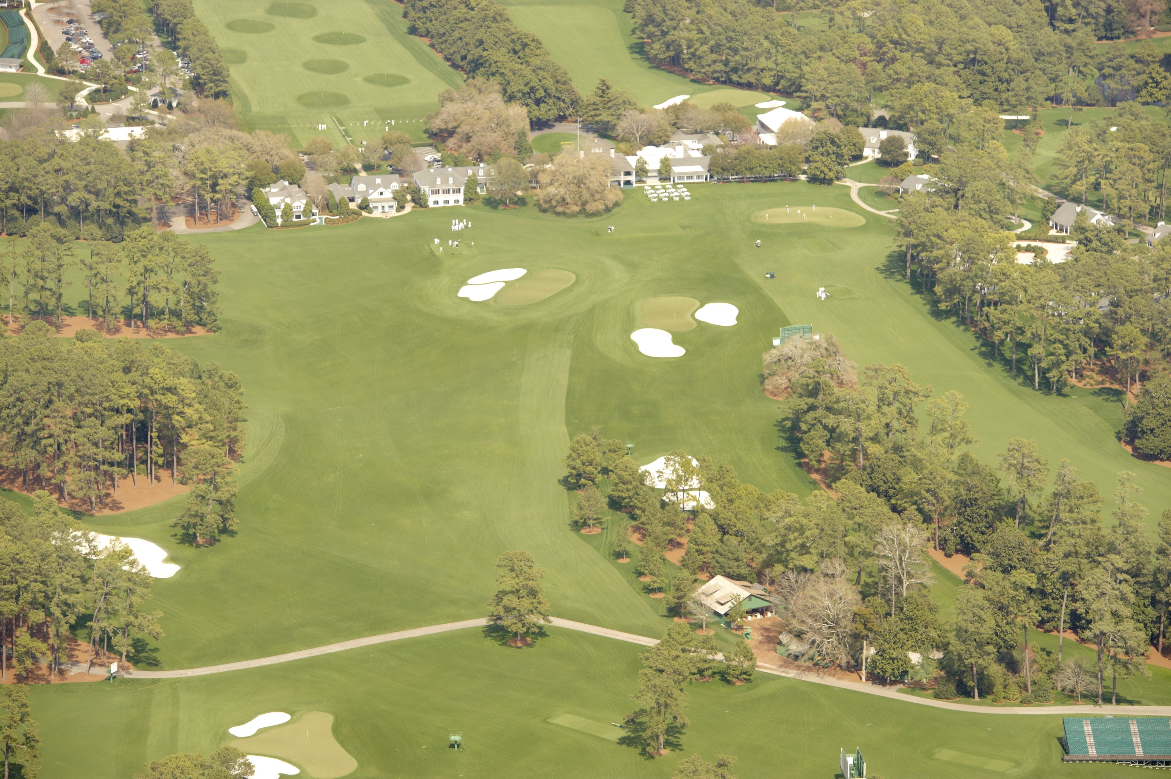
As you can see, the Par 3 course is on your left (top left of the illustration) as you drive down Magnolia Lane, with the iconic clubhouse ahead and the incredible practice range to your right.
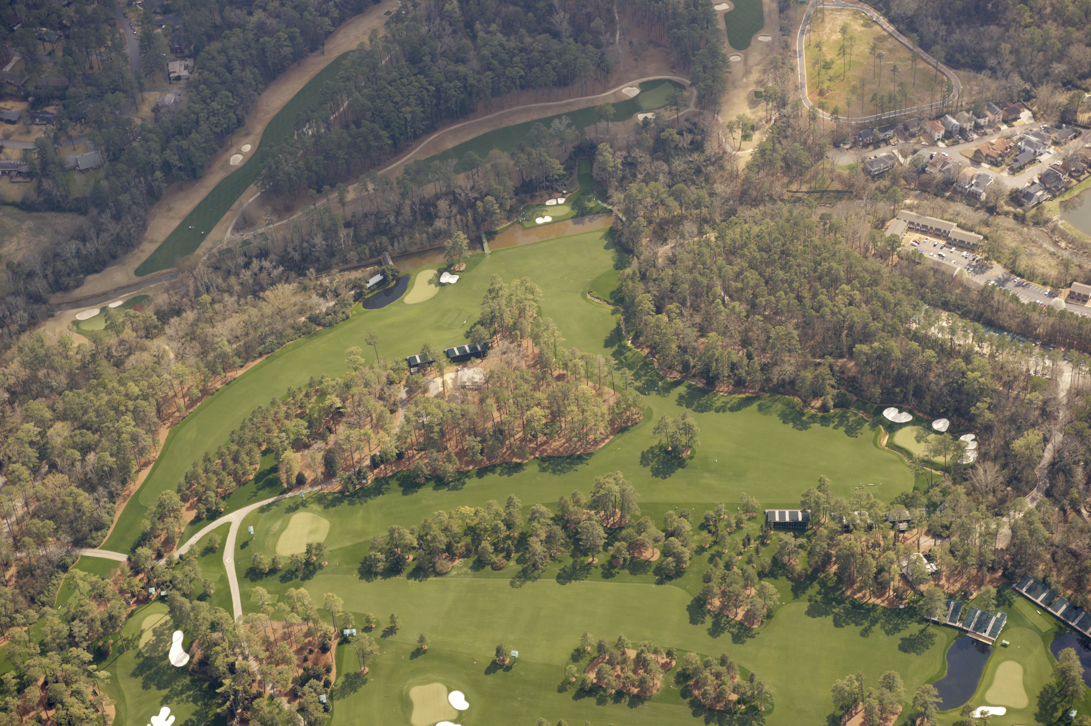
The famed Amen Corner and Rae's Creek lie in the far top right corner, which is actually to the south of the property, as shown below in this Google Maps screenshot:

As you can see, the course is pictured out of season before the over-seeding begins to get the fairways that lush green color we see each and every April.
The club actually closes for part of the year due to the extremely hot Georgia summers, allowing works to take place to get in great shape for fall, winter and spring golf.
Augusta National aerial photos: from above


Augusta National is situated just to the north of Augusta city centre, with the neighboring Augusta Country Club bordering just south. Rae's Creek, which runs through Amen Corner in front of the 12th green, also runs through Augusta Country Club too and guards one of the greens on the Par 72 Donald Ross design.
The city of Augusta borders South Carolina, with the city of North Augusta across the Savannah River and in the neighboring state of South Carolina.


