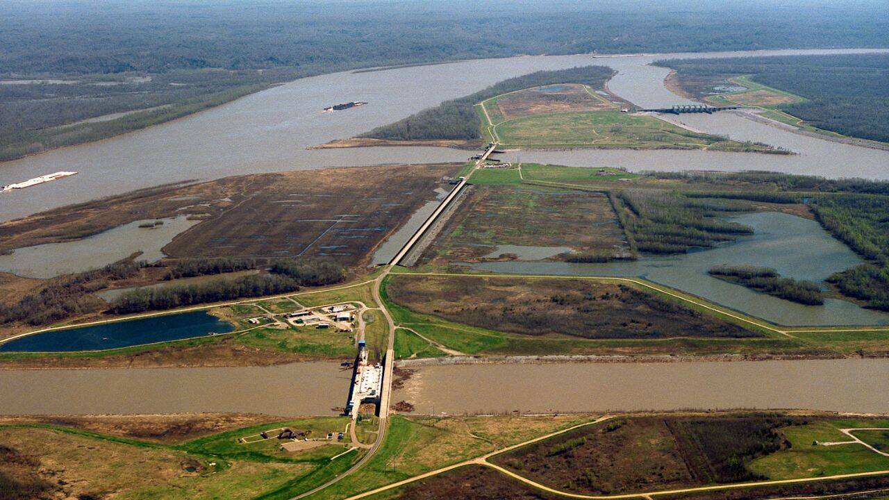
Nearly 2,000 kilometres of levees built along the Mississippi River over the past century helped protect cities and farmland from major floods. But the barriers also caused one of North America's most serious ecological losses. By cutting coastal estuaries off from vital river sediment, the flood control system has contributed to the loss of about 4,900 square kilometres of Louisiana's coastal land since the 1930s. Without fresh silt spreading across the delta during annual floods, large areas of coastal marshland have slowly sunk beneath the Gulf of Mexico. Detailed maps and scientific records from the United States Geological Survey (USGS) show that Louisiana lost nearly 1,900 square miles of coastal land between 1932 and 2010. To slow the damage, environmental agencies are now reversing the original engineering approach by pumping river mud back into damaged bayous to rebuild the coastline.
Get breaking news anytime, anywhere. Download the TOI app now!