
Get all your news in one place.
100's of premium titles.
One app.
Start reading
Space
Space
Science
Keith Cooper

'The ocean is no longer too big to watch': How AI and satellite data are helping rid Earth's seas of illegal fishing

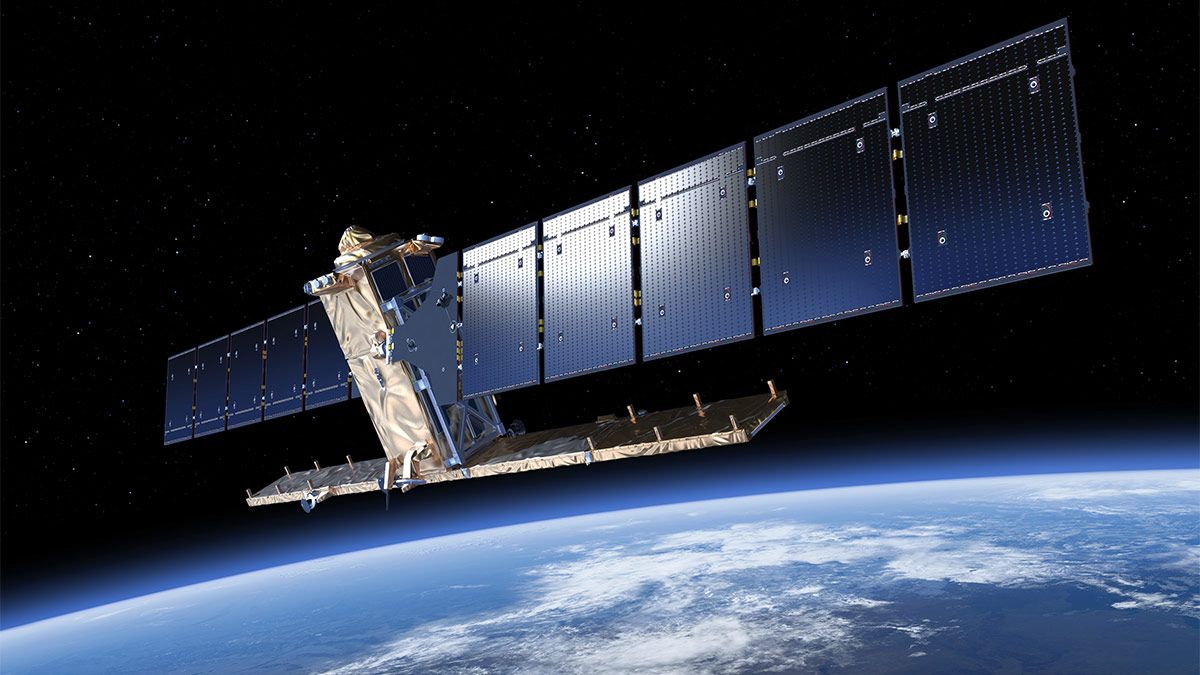
Sentinel-1 is the first in the family of Copernicus satellites launched by the European Space Agency. Two Sentinel-1 satellites have monitored the crack in the Larsen C ice shelf in the years leading up to the big split. They are also used to monitor Earth's environment, mapping sea ice and observing changes in land surfaces.

Satellite radar imagery, in conjunction with artificial intelligence (AI), has tracked down illegal fishing to show that efforts to protect the ocean's biodiversity are working.

Of 1,380 Marine-Protected Areas (MPAs) focused on in a new study, 78.5% had no commercial fishing activity at all, according to the satellite images, which are able to record fishing trawlers that are running "dark."

Sign up to read this article
Read news from 100's of titles, curated specifically for you.
Already a member? Sign in here
Related Stories
Top stories on inkl right now
One subscription that gives you access to news from hundreds of sites
Already a member? Sign in here
Our Picks
Fourteen days free
Download the app
One app. One membership.
100+ trusted global sources.