
Get all your news in one place.
100's of premium titles.
One app.
Start reading
LiveScience
LiveScience
Skyler Ware

The land under South Africa is rising every year. We finally know why.

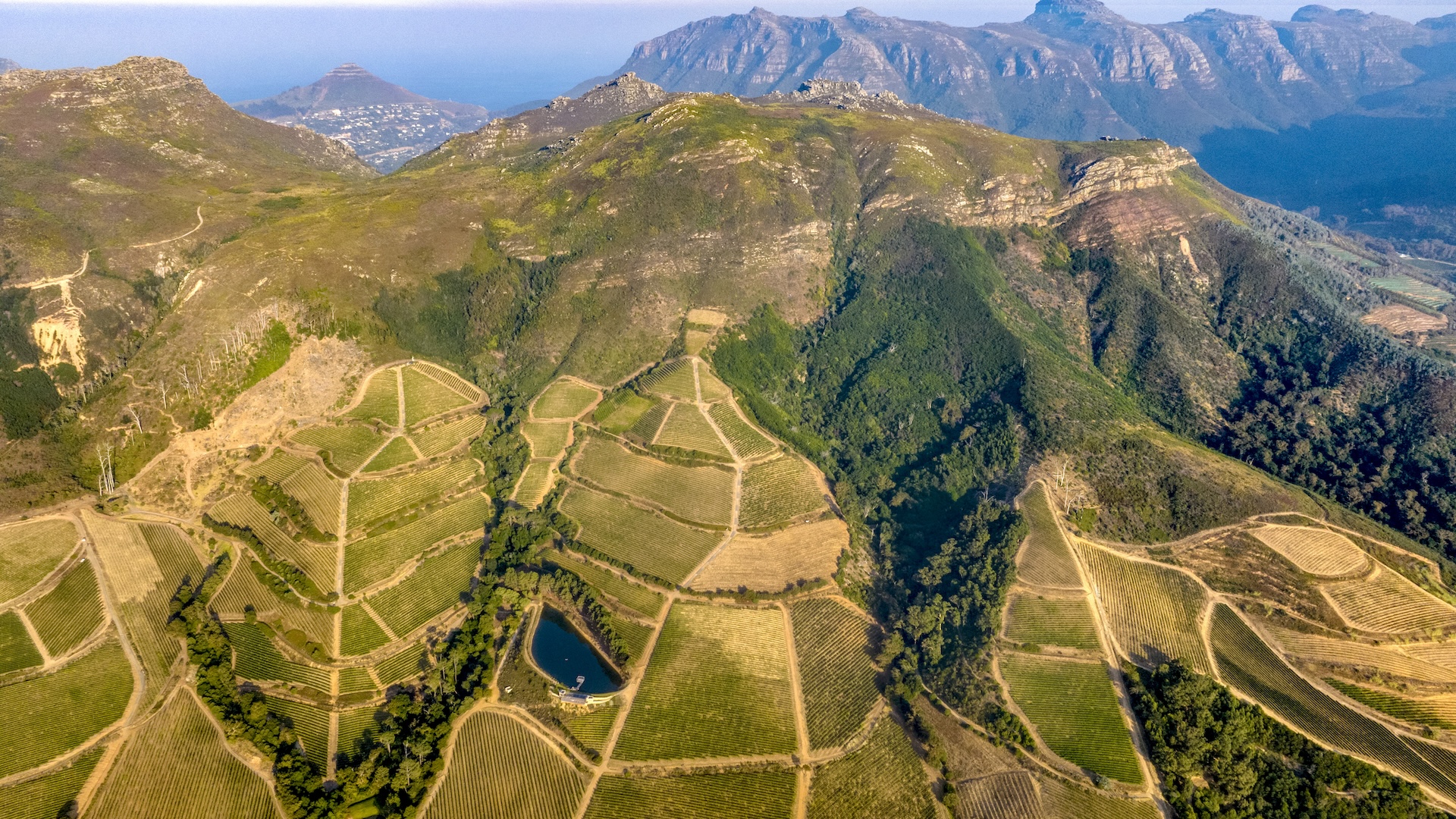
An aerial image of mountains in South Africa.

Drought and water loss caused South Africa to rise an average of 6 millimeters (0.2 inches) between 2012 and 2020, according to a new study.

Scientists have developed a new model to measure this land uplift and associated water loss using global positioning system (GPS) data. In South Africa, they found that uplift patterns correlated with droughts and with seasonal shifts between dry and wet seasons. The GPS-based model could help researchers spot signs of drought in the future, the researchers suggest.

Sign up to read this article
Read news from 100's of titles, curated specifically for you.
Already a member? Sign in here
Related Stories
Top stories on inkl right now
One subscription that gives you access to news from hundreds of sites
Already a member? Sign in here
Our Picks
Fourteen days free
Download the app
One app. One membership.
100+ trusted global sources.