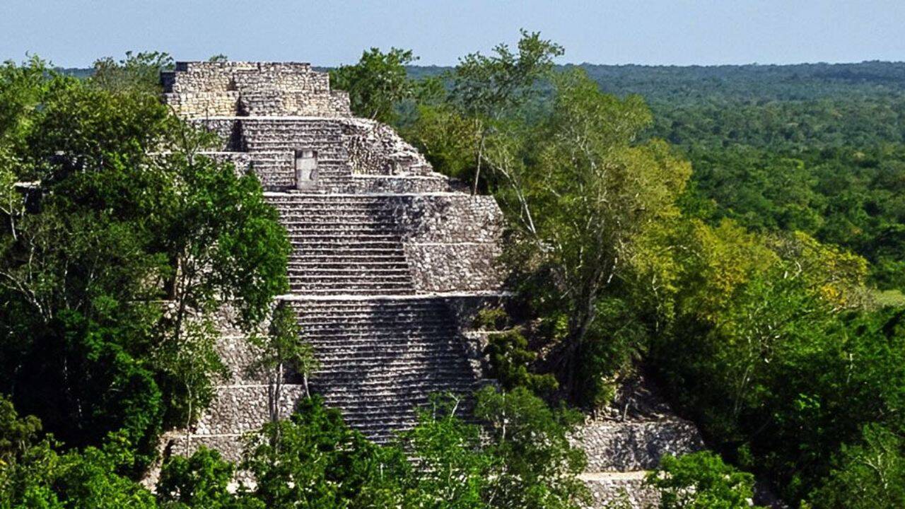
A PhD student, scrolling through publicly available survey material from a Mexican environmental project, noticed shapes that didn’t sit comfortably with the idea of untouched jungle. The files had been online for years; nothing new about them. But once processed through archaeological mapping techniques, the patterns stopped looking like random terrain. Roads, raised platforms, and something that resembled a planned settlement rather than scattered earthwork. What followed wasn’t a dramatic expedition into unknown territory, more a quiet reassessment of information already sitting in plain sight. A place later named Valeriana began to take shape on screen before anyone set foot there with fresh intent.
Get breaking news anytime, anywhere. Download the TOI app now!