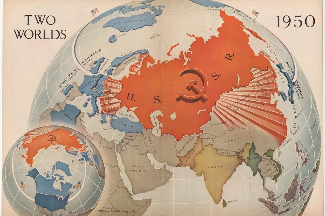
The late 1940s and early 1950s were a golden age for polar mapmaking in the US. Major magazines such as Time, Life and Fortune commissioned a generation of famous cartographers – who had come of age in the second world war – to explain the new geopolitics to a mass audience that was highly engaged after the catastrophic global conflict they had just lived through.
Their maps were large, dramatic and designed to be spread across kitchen tables and classroom desks. And they also offered a very different perspective to the mainstream maps we have become accustomed to today.