On April 8, 2024, a total solar eclipse will be visible from parts of North America, and some of the best places to witness it will be in Mexico.
The path of totality extends from northwest Mexico through the U.S. to southeastern Canada. That path will be about 115 miles (185 kilometers) wide, on average, and only within it will it be possible to experience darkness in the daytime and glimpse the sun's corona — the outermost part of the sun's atmosphere — with the naked eye for up to 4 minutes, 28 seconds. This path of totality is the moon's umbra, where the moon appears to completely block the sun's disk.
REMEMBER to NEVER look at the sun directly. To safely view this solar eclipse you must use solar filters at all times. Only during the exact moment of totality, when the moon completely obscures the sun can you look with the naked eye. At all other times, precautions need to be taken. Observers will need to wear solar eclipse glasses, and cameras, telescopes and binoculars must have solar filters placed in front of their lenses.
The path of totality through Mexico
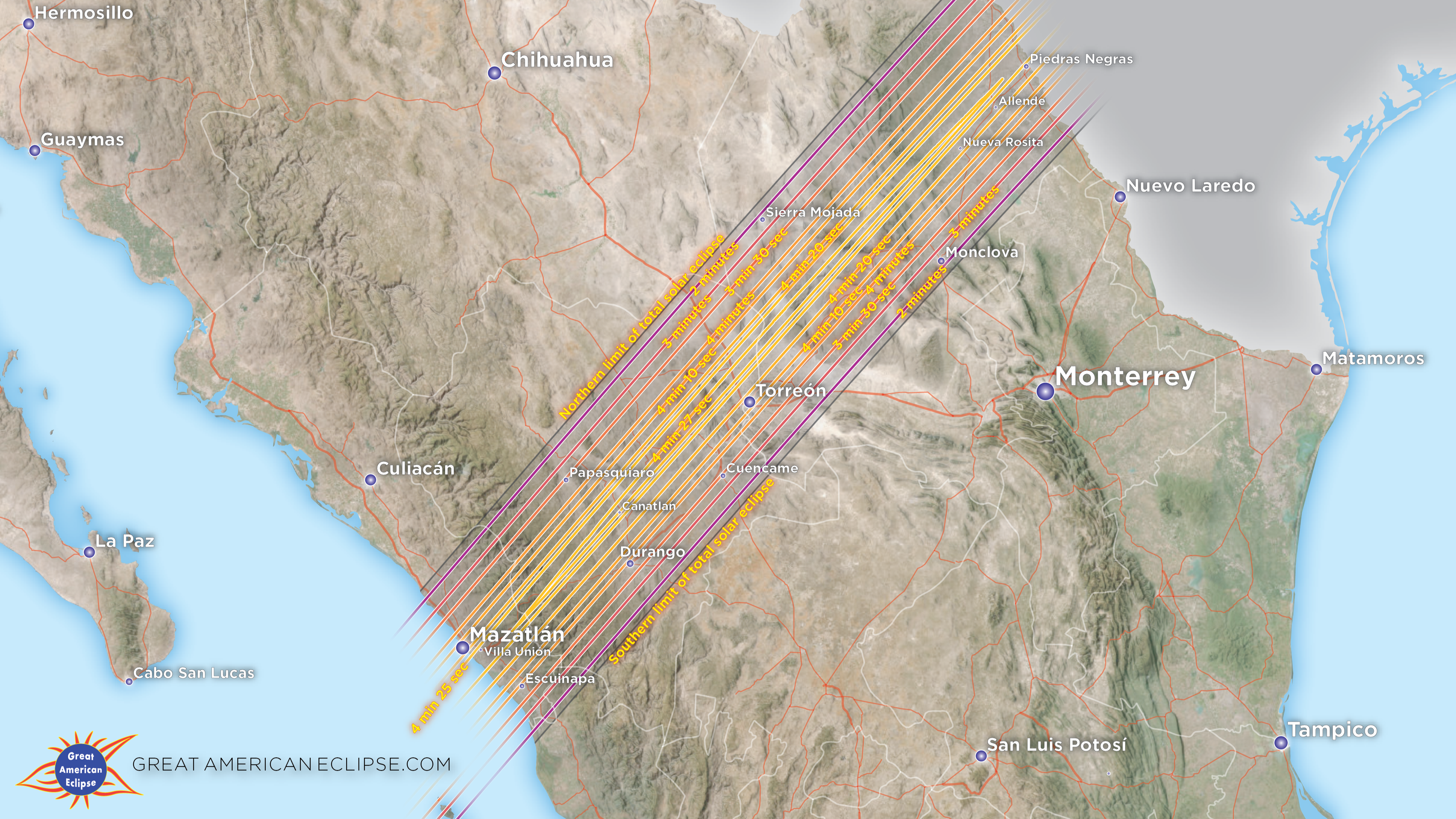
The shadow of the moon will first strike Earth about 370 miles (600 kilometers) off the west coast of Mexico at Isla Socorro — a diver's paradise for sharks, humpback whales and enormous manta rays — before visiting three of the Islas Marías just 60 miles (100 km) from the mainland. Mazatlán, on the country's western coast, will be the first region of mainland Mexico to experience totality, followed by Durango, Torreón and Monclova as the path tracks northeast toward the U.S. border at Piedras Negras.
Total solar eclipse timings for Mexico
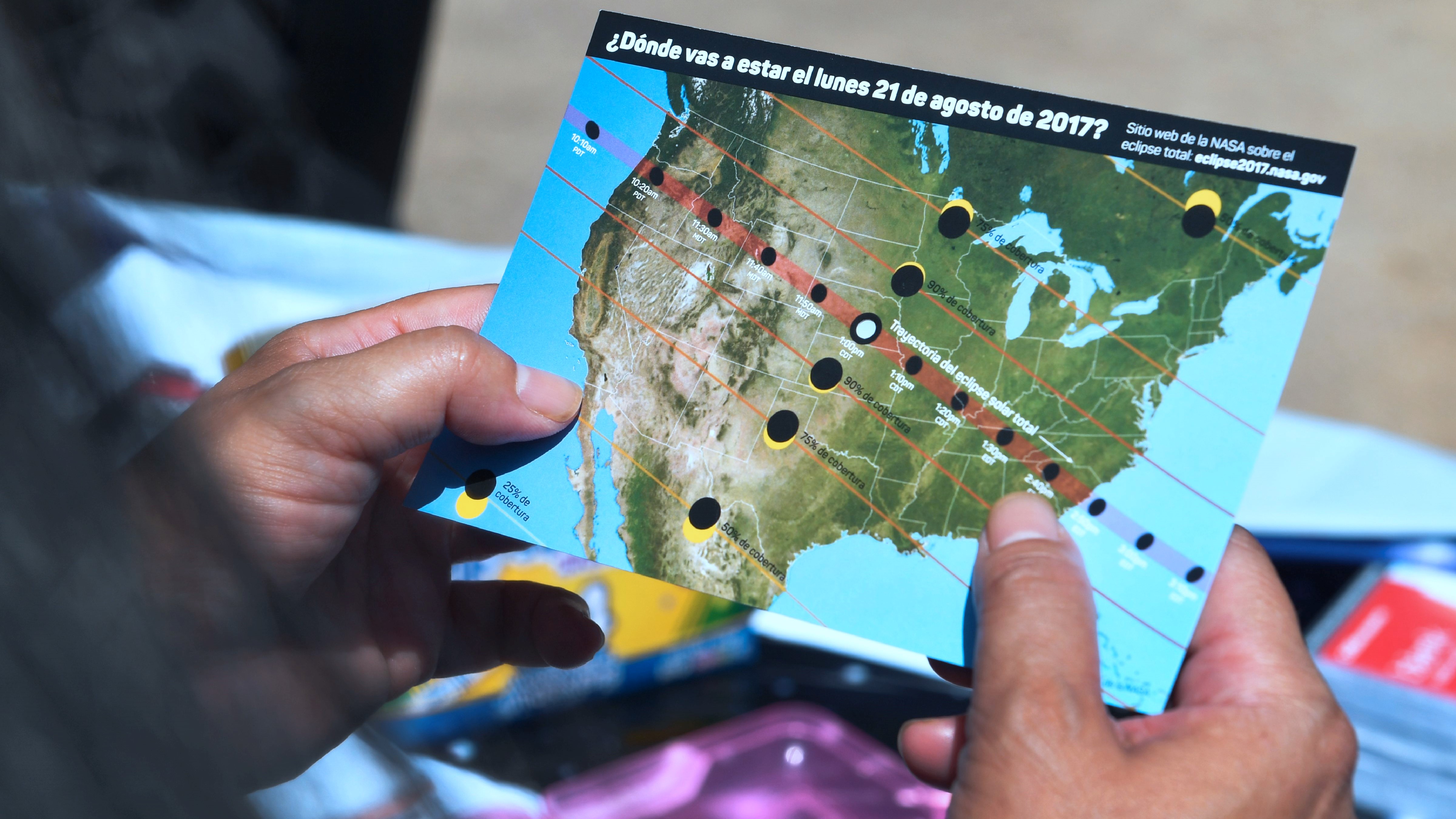
Our how to read and understand a solar eclipse map will help you get the most out of your eclipse viewing venture!
The moon's shadow will take 25 minutes to cross Mexico, passing through a few time zones, with totality occurring between 11:07 a.m. MST and 1:32 p.m. CST. According to solar eclipse expert Xavier Jubier's interactive Google Map, the path will be 124 miles (199 km) wide at the Pacific Coast and 121 miles (195 km) wide at the U.S. border. On the centerline through Mexico, totality will last between 4 minutes, 26 seconds and 4 minutes, 28 seconds.
Although it will be possible to witness the total solar eclipse anywhere in the path of totality with clear skies, some spots stand out. Here are the best places in Mexico to see the 2024 total solar eclipse.
1. Malecón de Mazatlán
Location: Mazatlán Malecón; Mazatlán, Sinaloa
Local time and duration of totality: 11:07 a.m. MST; 4 minutes, 16 seconds
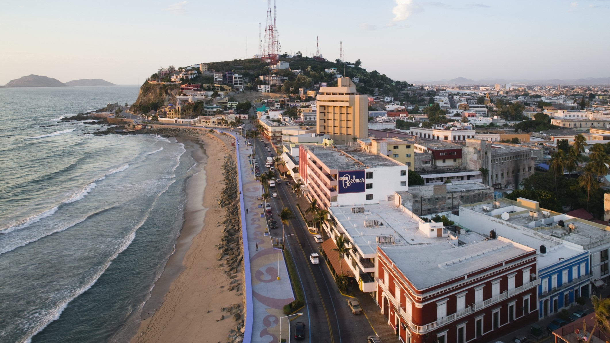
There's a high chance that the first place to experience totality will also have the best views. A colonial beach town in northwest Mexico that plays second fiddle to the likes of Cancún and Los Cabos, the heart and soul of Mazatlán (population 500,000) has the malecón, a 4-mile (7 km) paved boardwalk lined with sandy beaches that are sure to be packed on eclipse day.
"We will have 10 or 12 stations along the malecón for local people and visitors, each with astronomers and solar telescopes, where we will give out eclipse glasses," David Esquivel, president of the Mazatlán Astronomical Society, told Space.com. "We want to have people in lots of places and avoid having crowds, and we know there will be a lot of private events organized by hotels for their guests," said Esquivel, who is counseling the Mazatlán State Department on eclipse preparations.
Hotels and resorts stretch to the north of Mazatlán, but the farther south you are, the longer totality will last. It's been cloudy here on April 8 about 28% of the time since 2000, according to timeanddate.com.
2. El Faro Lighthouse

Location: El Faro Lighthouse; Mazatlán, Sinaloa
Local time and duration of totality: 11:07 a.m. MST; 4 minutes, 18 seconds
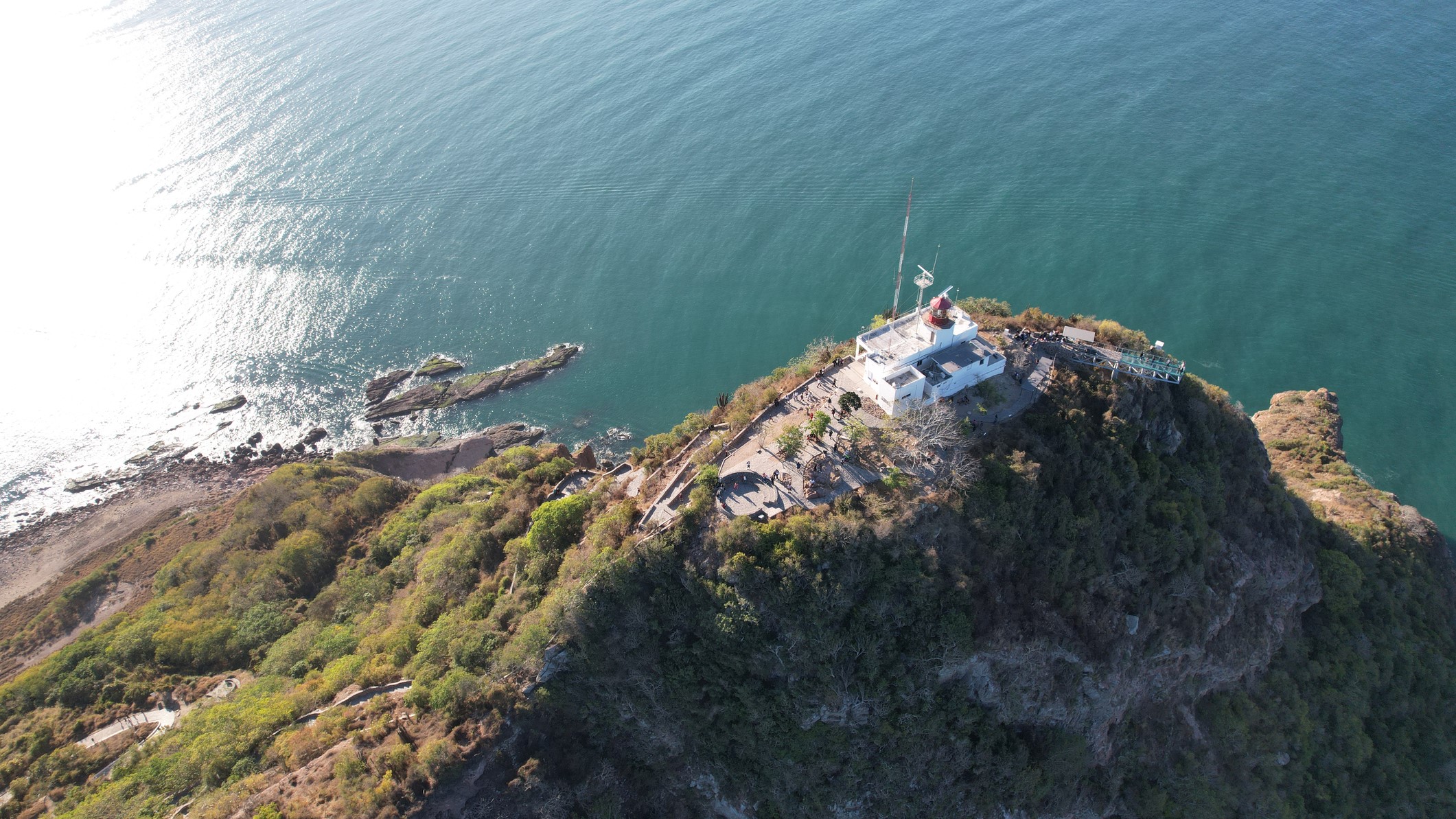
If you're in Mazatlán and you're after particularly scenic views, head for El Faro Lighthouse, the highest lighthouse in the Americas, in the city's port area. "El Faro Lighthouse, a landmark of Mazatlán, will be a wonderful place to enjoy the event," Estrella Palacios Domínguez, secretary of tourism for the state, told Space.com in an email.
Be prepared to hike for about 25 minutes up a gravel path that includes 336 paved steps. At the top, there's a glass-bottomed lookout, Mirador El Faro, that costs 20 Mexican pesos (around $1). It's been cloudy here on April 8 about 28% of the time since 2000, according to timeanddate.com.
3. El Quelite
Location: El Quelite, Sinaloa
Local time and duration of totality: 11:08 a.m. MST; 3 minutes, 43 seconds
Quaint El Quelite is one of Sinaloa's "pueblos mágicos," or "magical towns." About 19 miles (30 km) north of Mazatlán, it's a traditional Mexican village of cobblestone streets, thatched roofs, historic architecture and rural cuisine (especially cheese). Although it might be an appealing way to escape the crowds of Mazatlán, El Quelite is only 120 miles (190 km) from Culiacán, the capital of Sinaloa, a city of about 1 million people. Local road closures are possible, so it would make sense to be in El Quelite the night before the eclipse and catch a traditional mariachi band. It's been cloudy here on April 8 about 24% of the time since 2000, according to timeanddate.com.
4. Torreón
Location: Torreón, Coahuila
Local time and duration of totality: 12:16 p.m. CST; 4 minutes, 11 seconds
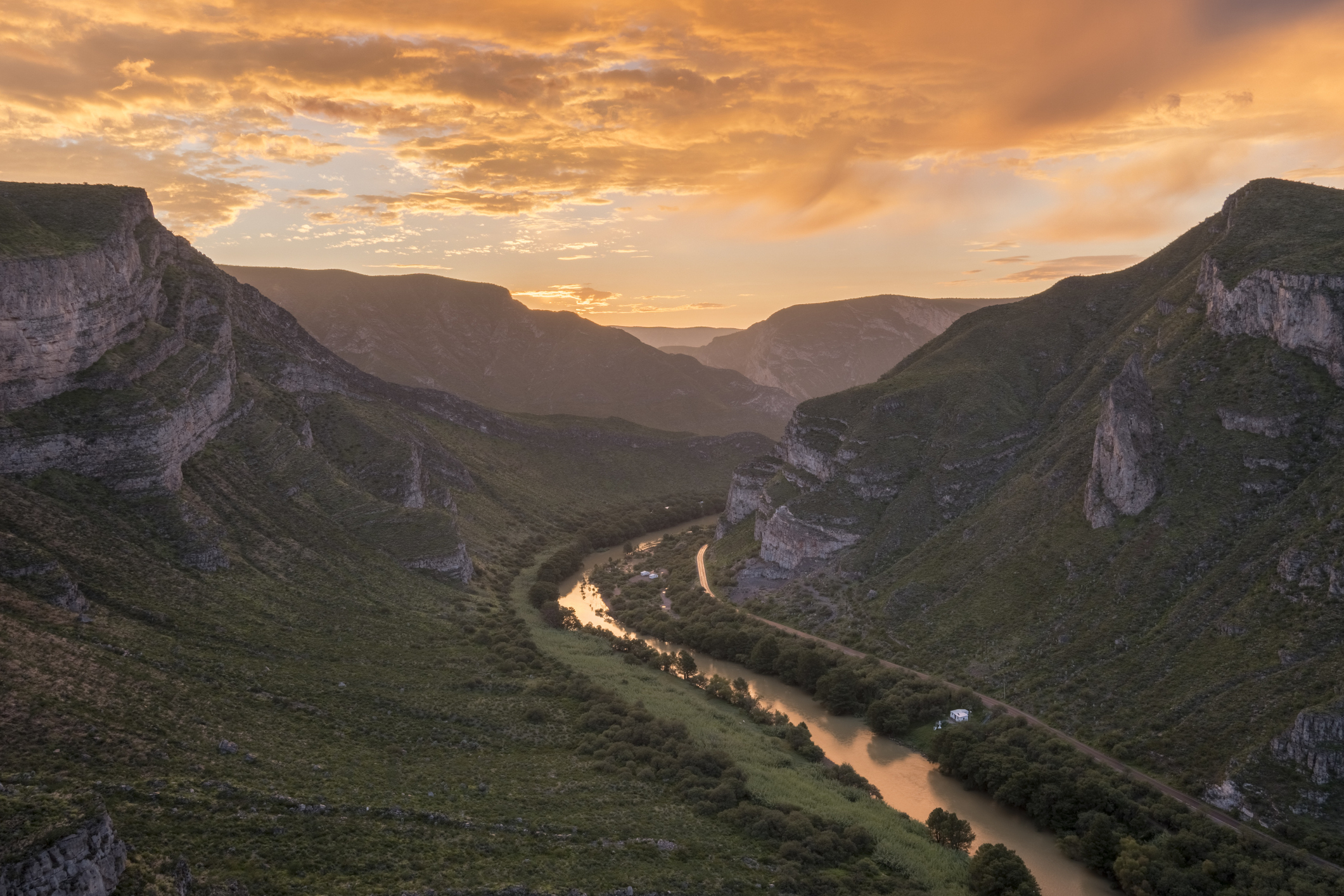
An industrial city in the Mexican state of Coahuila, Torreón (population 735,000), located on the Mexican Plateau, isn't exactly the dream place to experience totality. It's also got far fewer hotels than Mazatlán. However, its position on the arid Mexican Plateau makes it likely to have clear skies. It would make sense to drive an hour north from Torreón to maximize totality, though southwest of Torreón, on the centerline, are the rugged Sierra de Nazas mountains (famous for hiking and camping) and the Cañon de Fernández, a canyon carved by the Nazas River. It's been cloudy in Torreón on April 8 about 27% of the time since 2000, according to timeanddate.com.
5. Durango
Location: Victoria de Durango, Durango
Local time and duration of totality: 12:12 p.m. CST; 3 minutes, 47 seconds
The capital of the state of Durango, Victoria de Durango (population 615,000), is about a two-and-a-half-hour drive inland from Mazatlán on the Mazatlán-Durango Highway. The city, which is in a mountainous region, is about an hour's drive south of the centerline. It's been cloudy here on April 8 about 30% of the time since 2000, according to timeanddate.com.
6. Concordia
Location: Concordia, Sinaloa
Local time and duration of totality: 11:08 a.m. MST; 4 minutes, 26 seconds
About an hour southeast of Mazatlán, in the foothills of the Sierra Madre mountains, is the village of Concordia (population 9,000), one of the oldest colonial cities in Sinaloa and another "pueblo mágico." Attractions include wide cobblestone streets and colonial buildings — notably, the 18th-century church of San Sebastián. It's also where the Mazatlán Astronomical Society goes stargazing.
"It's a small rural community with Bortle 2 scale dark skies," Esquivel said. "We are trying to promote it as a destination for visitors to Mazatlán to come to see the stars, though it's a small place." It's been cloudy here on April 8 about 21% of the time since 2000, according to timeanddate.com.
7. Cuatrociénegas Biosphere Reserve
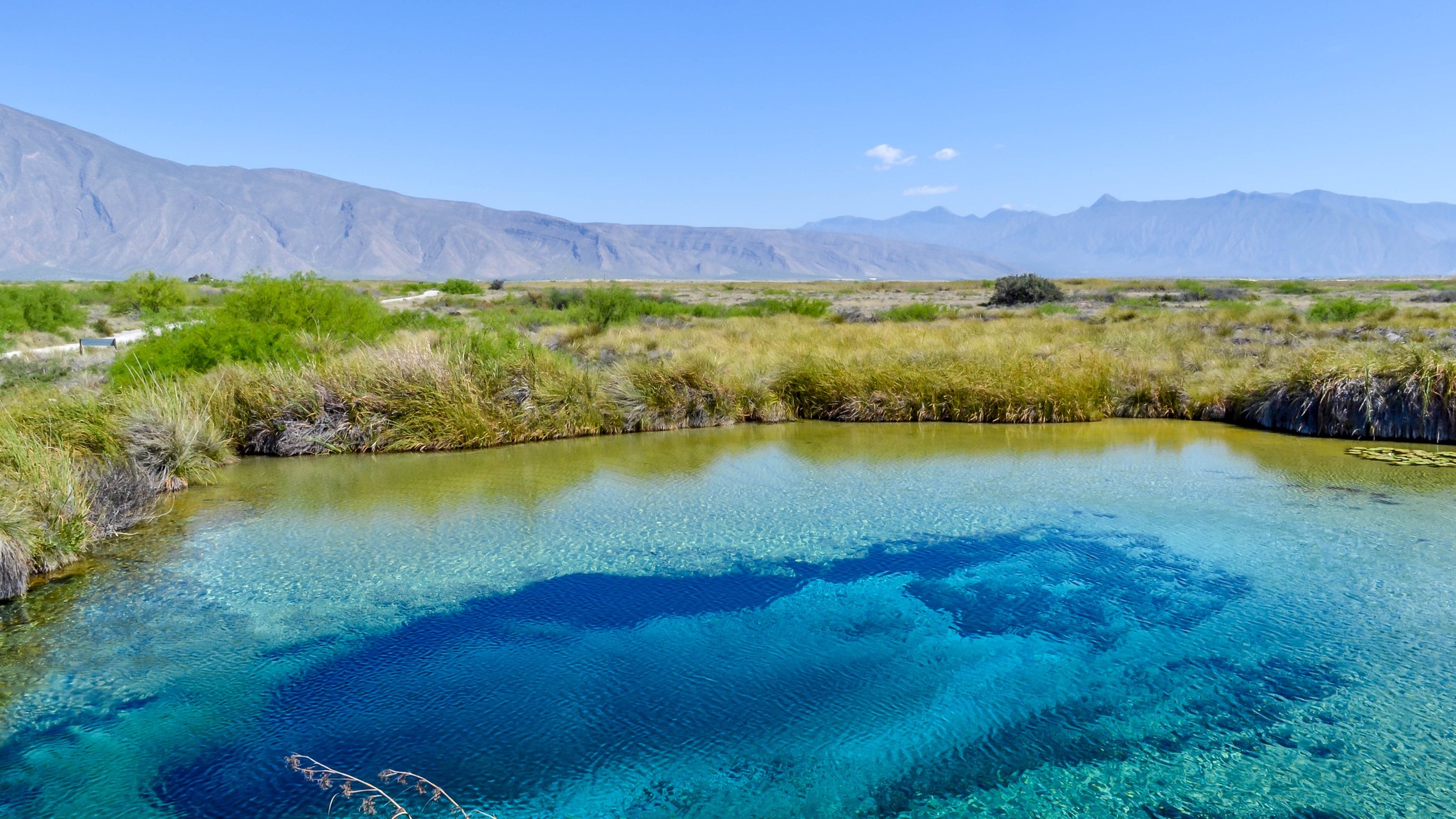
Location: Cuatrociénegas Biosphere Reserve, Coahuila
Local time and duration of totality: 12:21 p.m. CST; 4 minutes, 14 seconds
Photographers hoping to capture reflections of the eclipse in water and anyone interested in birds' reactions to sudden darkness could consider Poza Azúl, the best of a series of bright turquoise lakes. Part of the Cuatrociénegas Biosphere Reserve, it's about an hour's drive west of Monclova, an industrial city just inside the southern limit of the path of totality. It's been cloudy here on April 8 about 29% of the time since 2000, according to timeanddate.com.

